


Sponsorship opportunities are available now for the 17th annual fundraiser for the Point Reyes National Seashore Association. Enjoy the beauty of the Park, dance to live music, savor delicious local food and drinks, and connect with each other! Learn more
Events
Many organizations in Point Reyes depend on volunteers. One of the best ways to learn about a place is to volunteer.
Get into nature and remove invasive plants at beautiful locations in Point Reyes. Thursday Weeders is every other Thursday from 10:00am to 2:00pm Learn more
Volunteer
Support the local organizations that keep Point Reyes thriving by attending events, fundraisers, and immersive classes.
Point Reyes Silverspot Butterfly at North Beach, July 2026
Trails
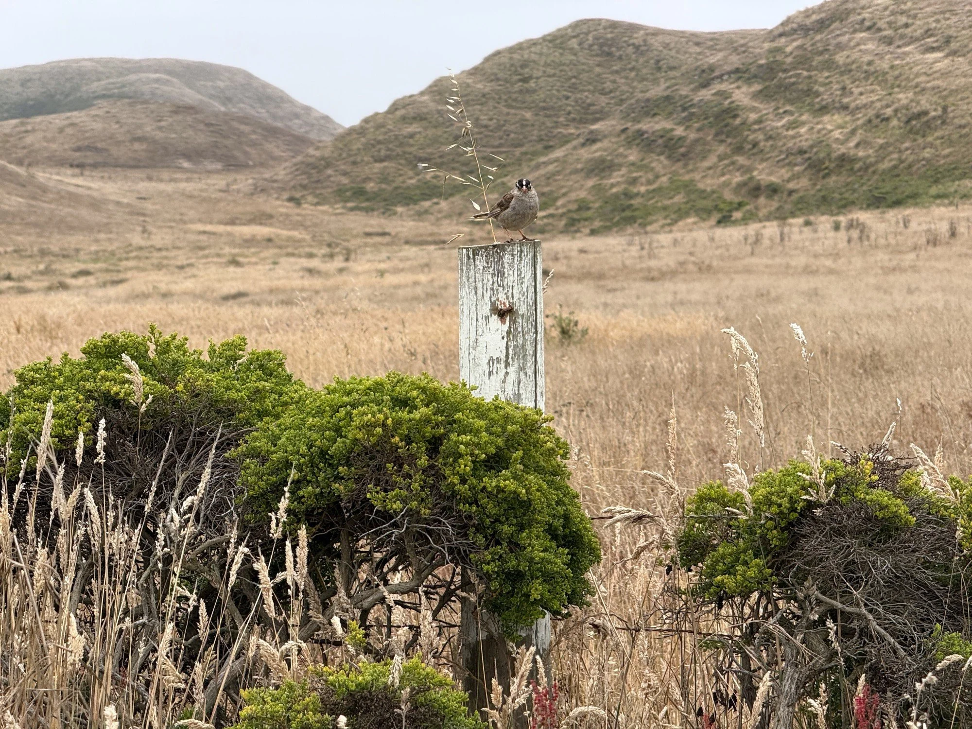
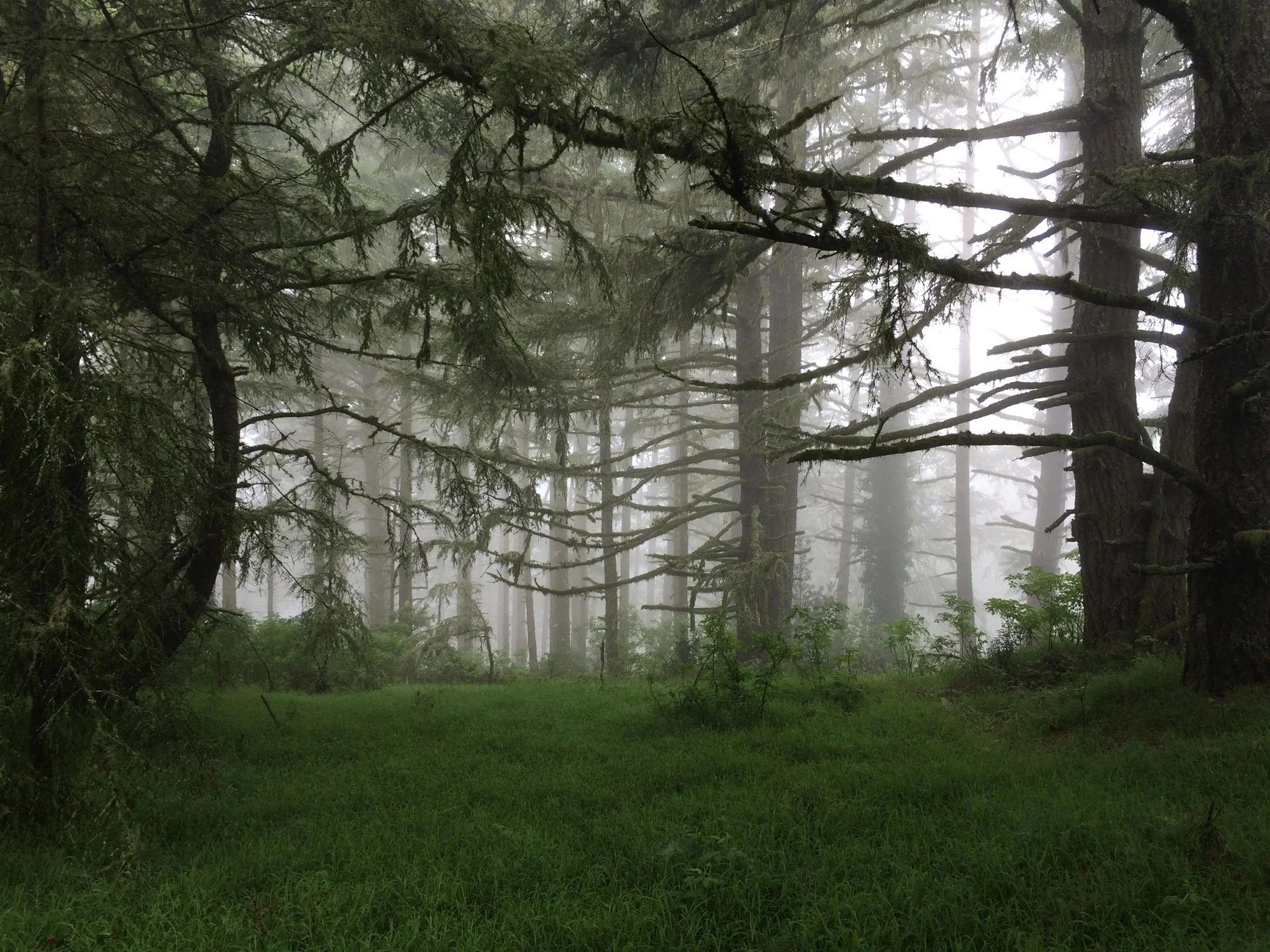
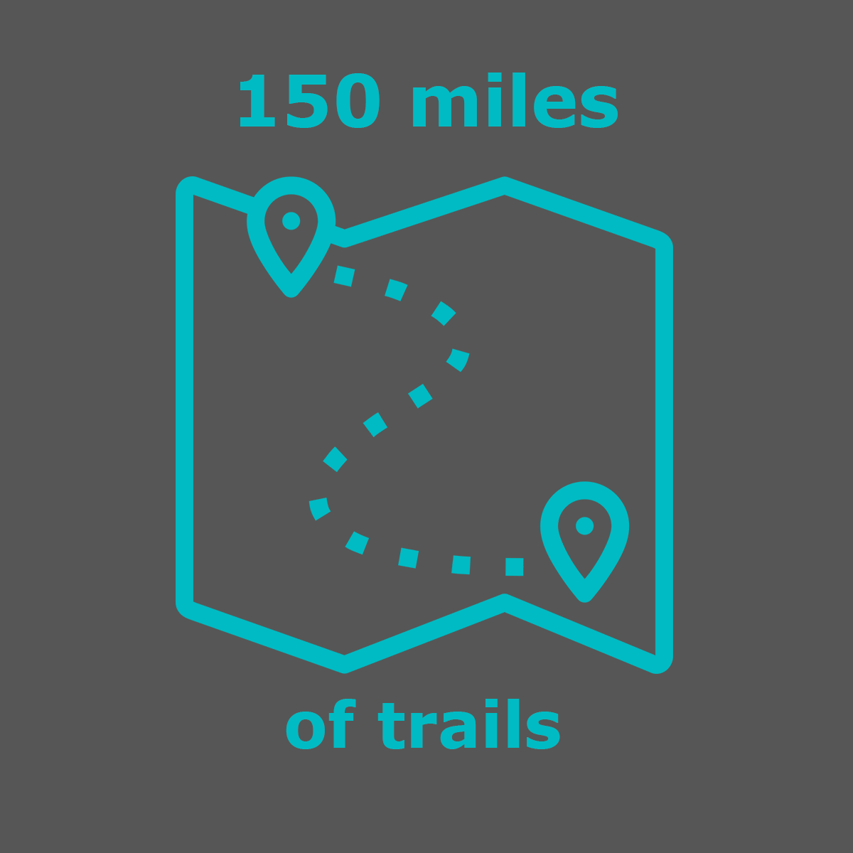
Two converging tectonic plates, the Pacific and the North American, create an area rich in geologic interest and teeming with plants and animals. Hike the more than 50 trails that cover 150+ miles.
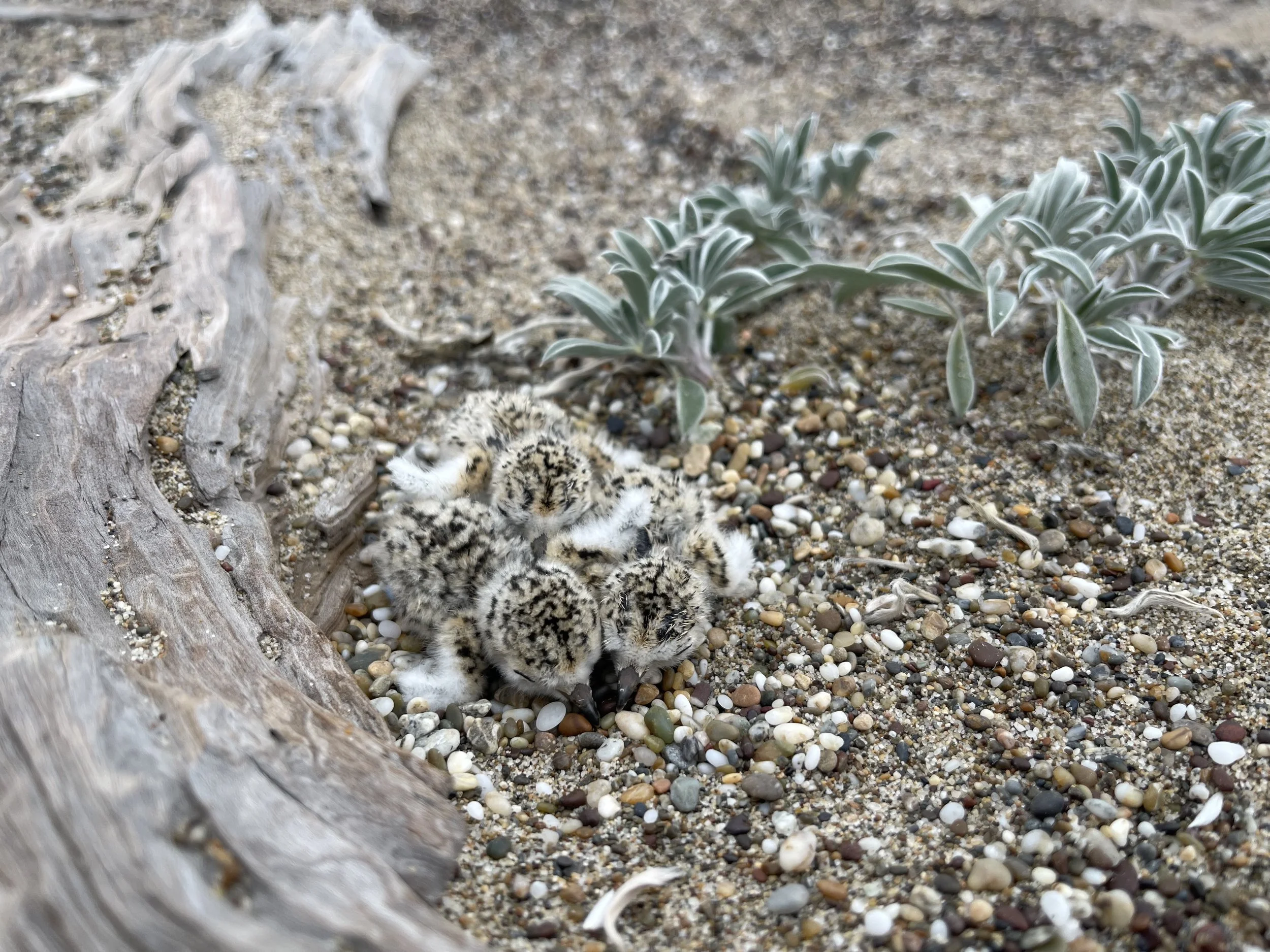
Summer is Snowy Plover breeding season on Point Reyes beaches. Photo: Parker Kaye PRNSA. Learn more
Beaches
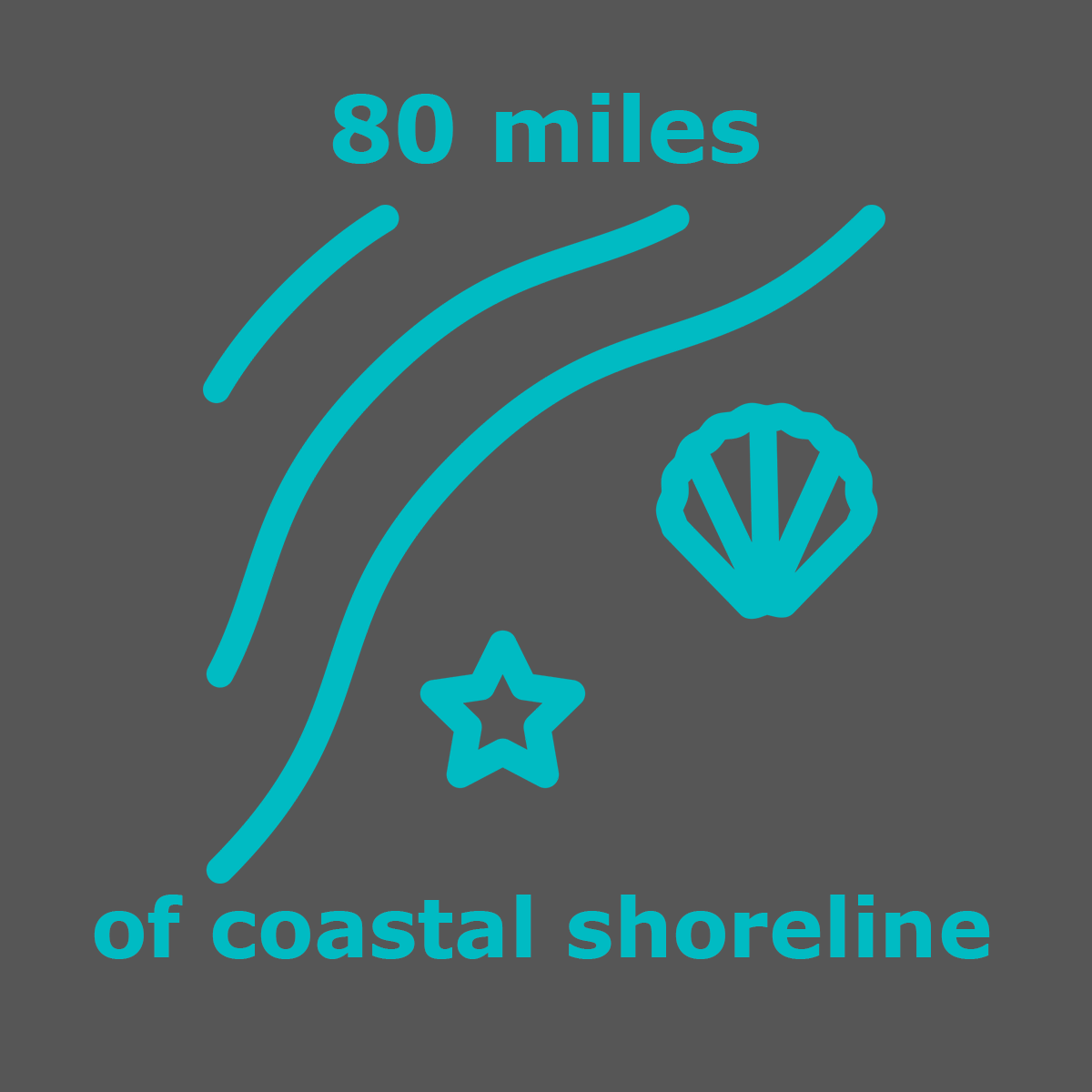
Point Reyes has beaches on three sides of the peninsula. Ocean-facing beaches are on the west and south sides, and beaches lining the east and west sides of Tomales Bay. There’s something for everyone — from intense surfing to leisurely sunbathing and bonfires.
Featured Hike: Muddy Hollow-Limantour Spit
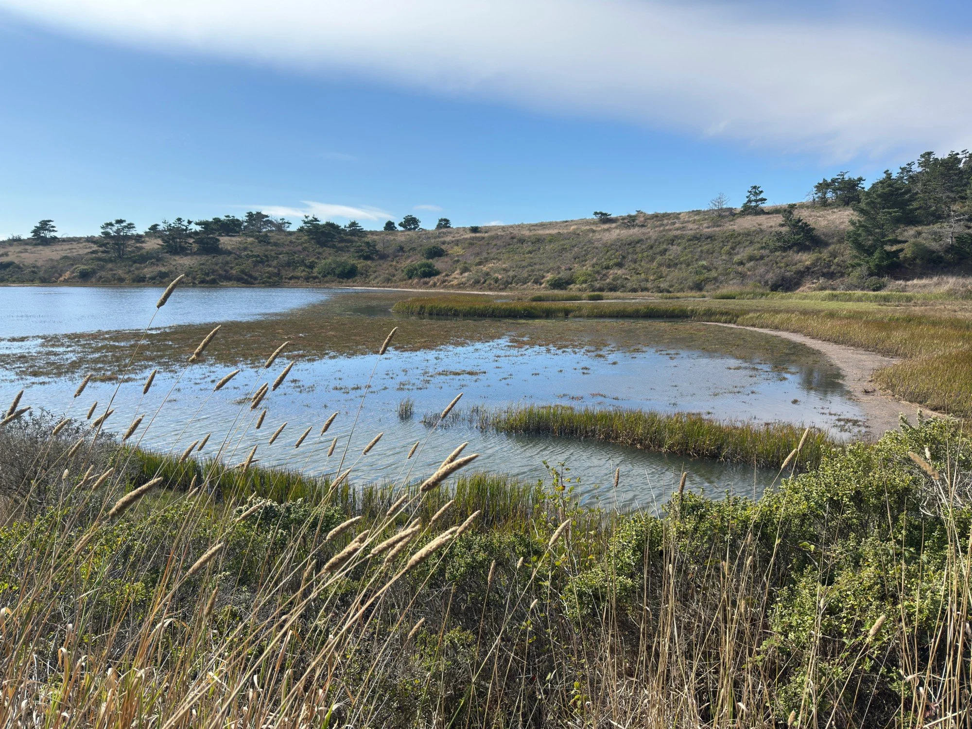
Limantour Estero from the Muddy Hollow Trail
August brings foggy mornings and bursts of migration. Along this trail from riparian forest to estuary to beach, birds are actively feeding as they prepare for journeys south. Delight in songbirds in the trees and shrubs, ducks bobbing, and shorebirds beginning to gather. Watch for flashes of tail-wagging Blue-gray Gnatcatchers hunting insects. Listen for Marsh Wren tucked into the reedy edges of Limantour Estero. On the beach, fiery-red-billed Caspian Terns dive into the surf, and flocks of Western Gulls gather noisily along the shoreline. Lucky birders may spot an Osprey overhead carrying a fish head-forward in its talons. Snowy Plovers are beginning to flock for winter after fledging the last of their chicks.
Muddy Hollow Trail
3 miles, out and back
Start at the Limantour Beach parking lot.
Hike all or part of the Muddy Hollow Trail watching for waterfowl and shorebirds in the estuary, and songbirds in the trees and shrubs. Get details
Limantour Spit & Limantour Beach
Walk on the spit trail bordering the estero for views of the water and hills. Access Limantour beach easily from many spots along the trail. Get details for Limantour Spit and Limantour Beach
eBird bird lists
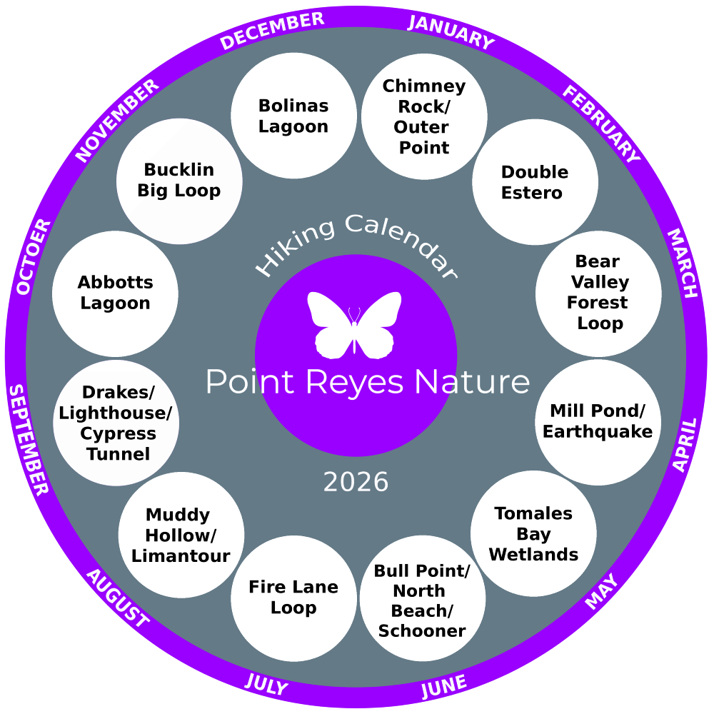
Hiking calendar 2025
A new trail every month.
Looking for hiking ideas? Let this hiking calendar be your guide to get out and go hiking on the trails in the Point Reyes National Seashore. A new hike every month along with seasonal highlights and ways to engage more deeply.
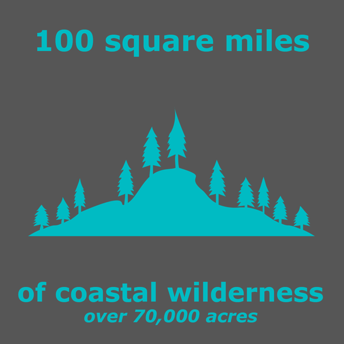
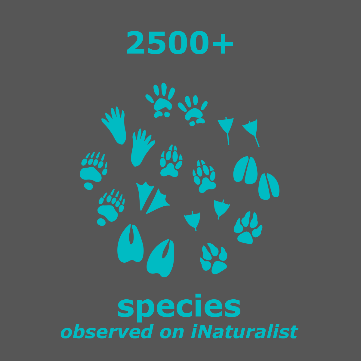
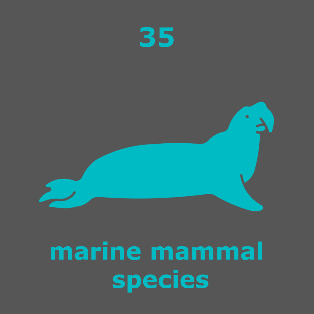
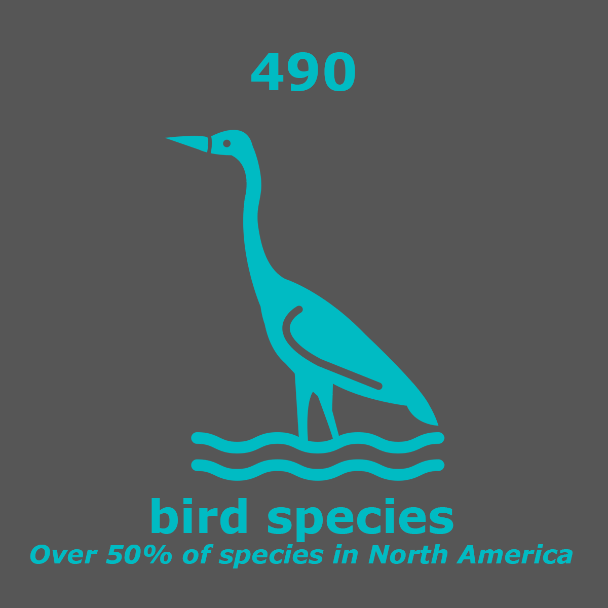
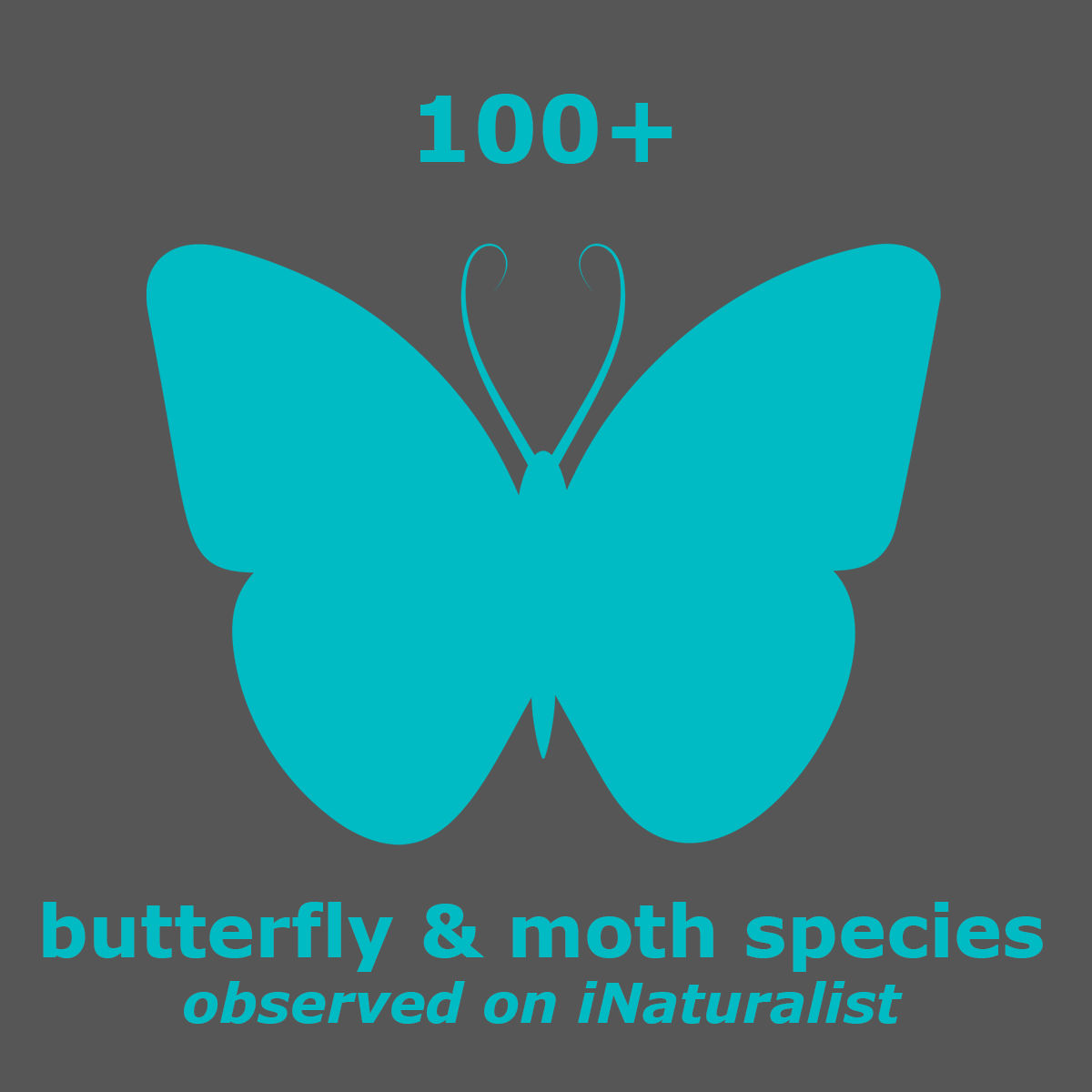
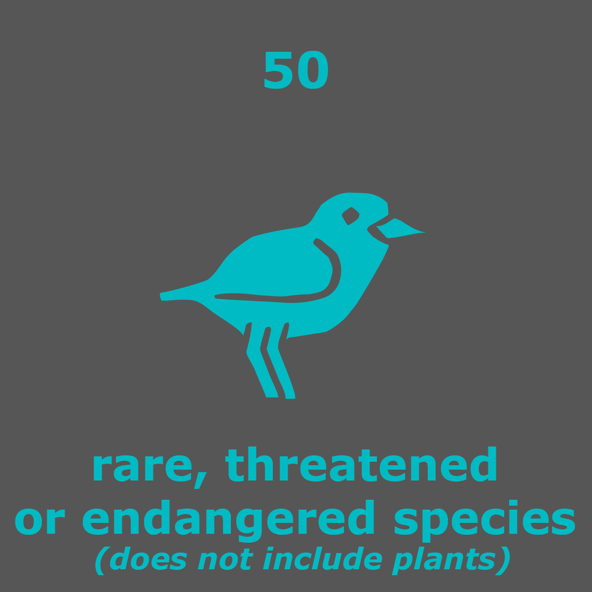
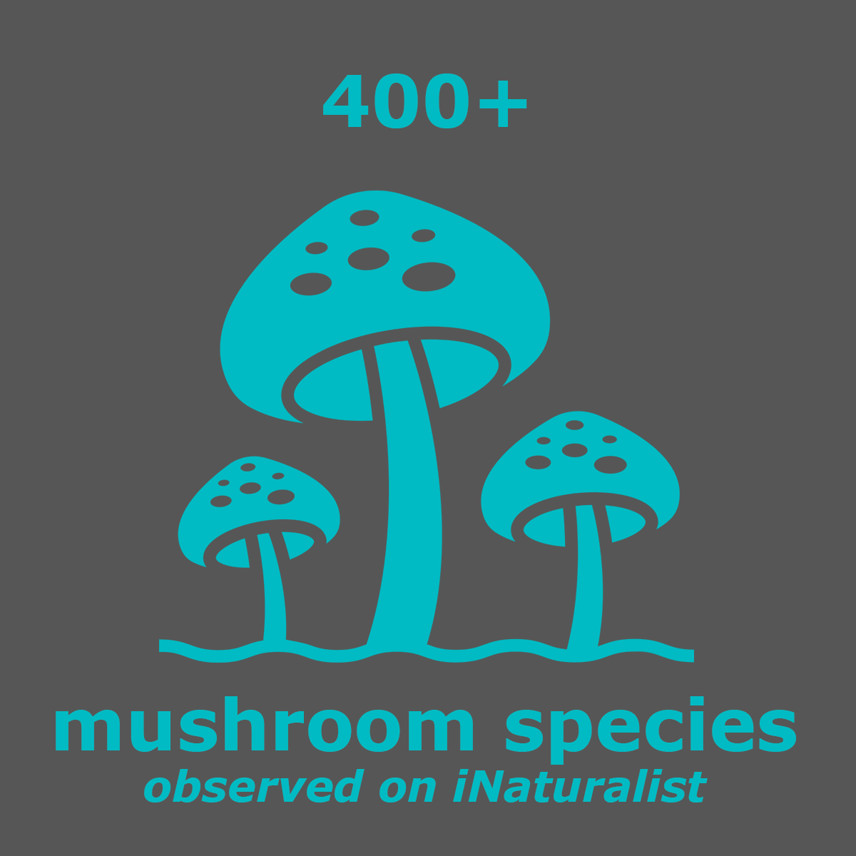
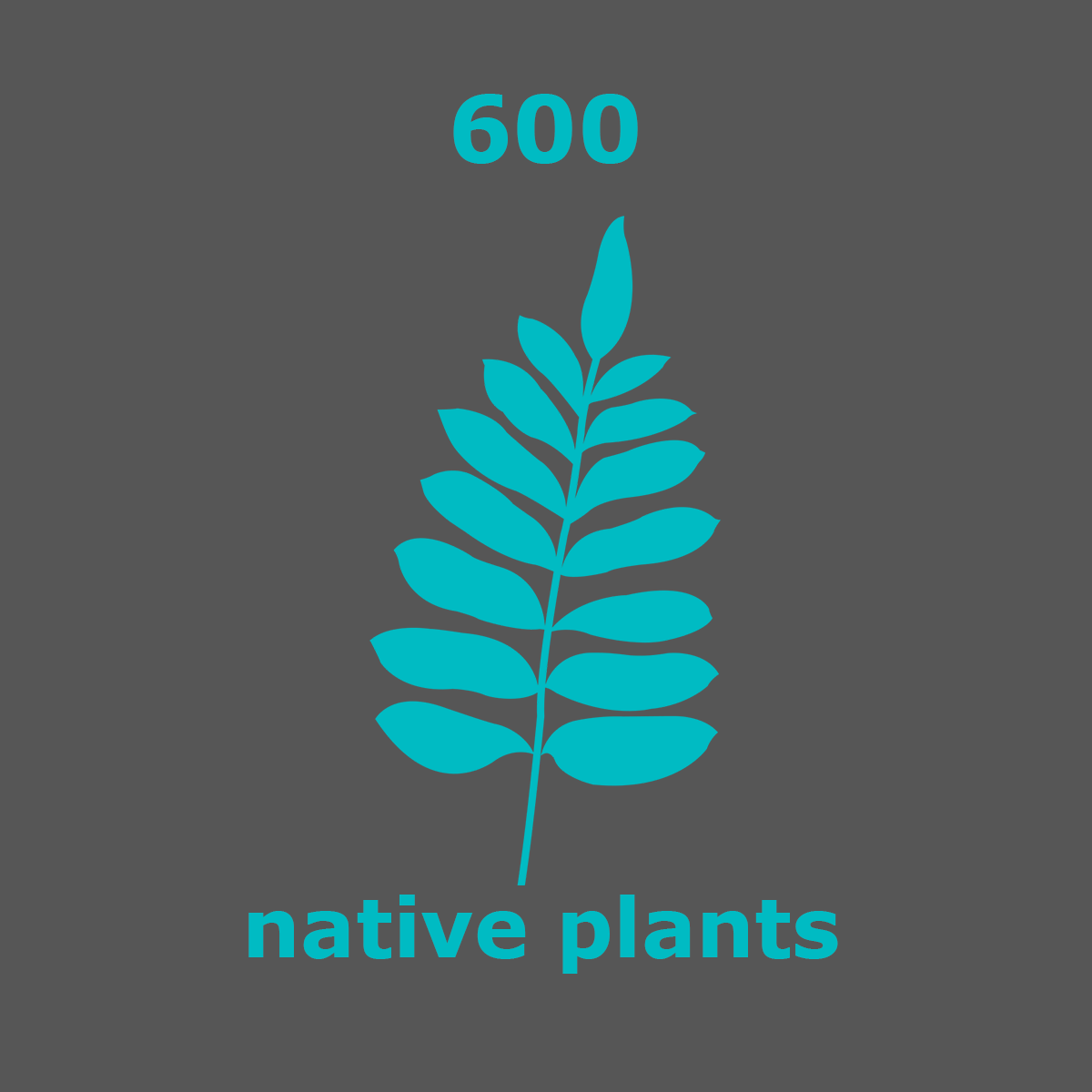
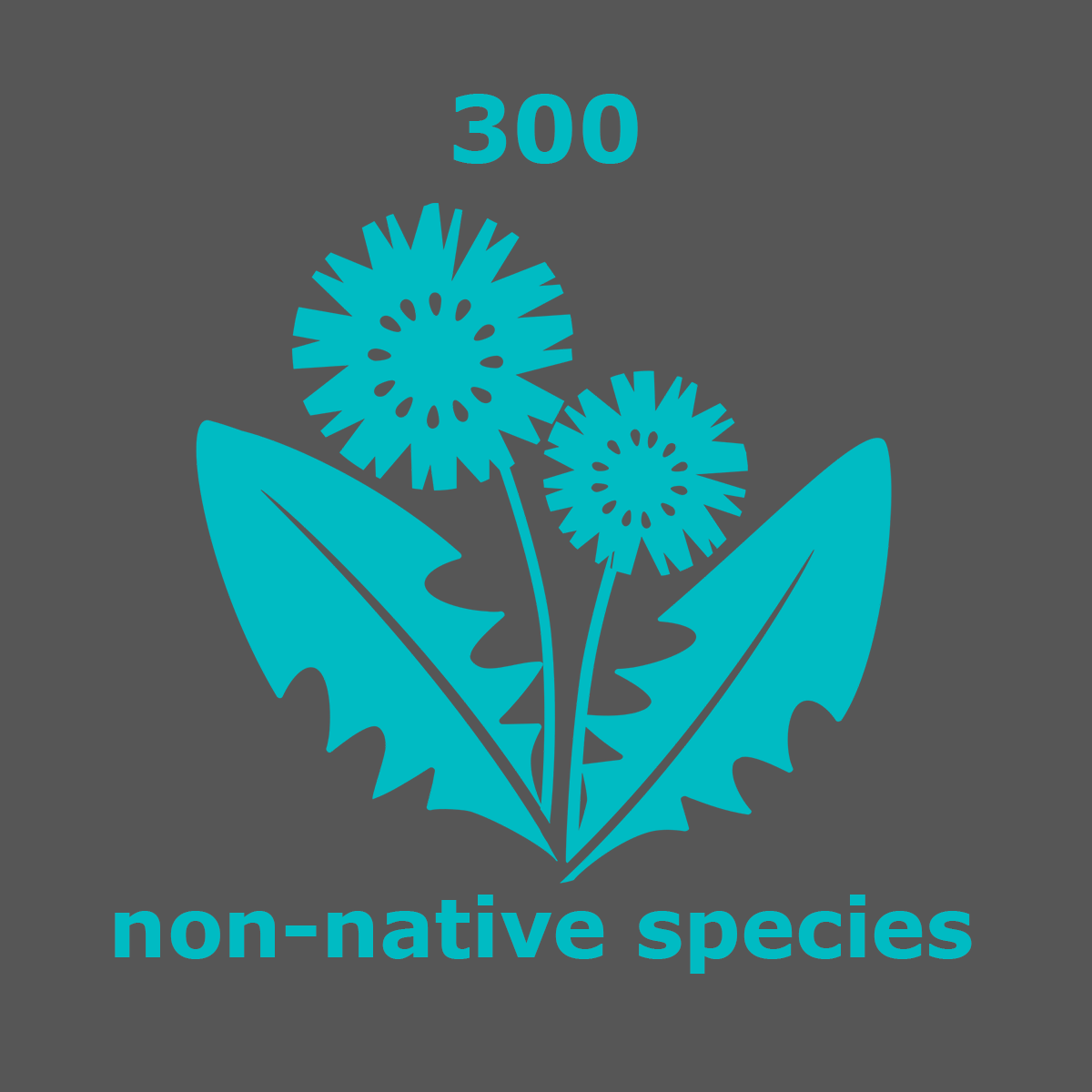
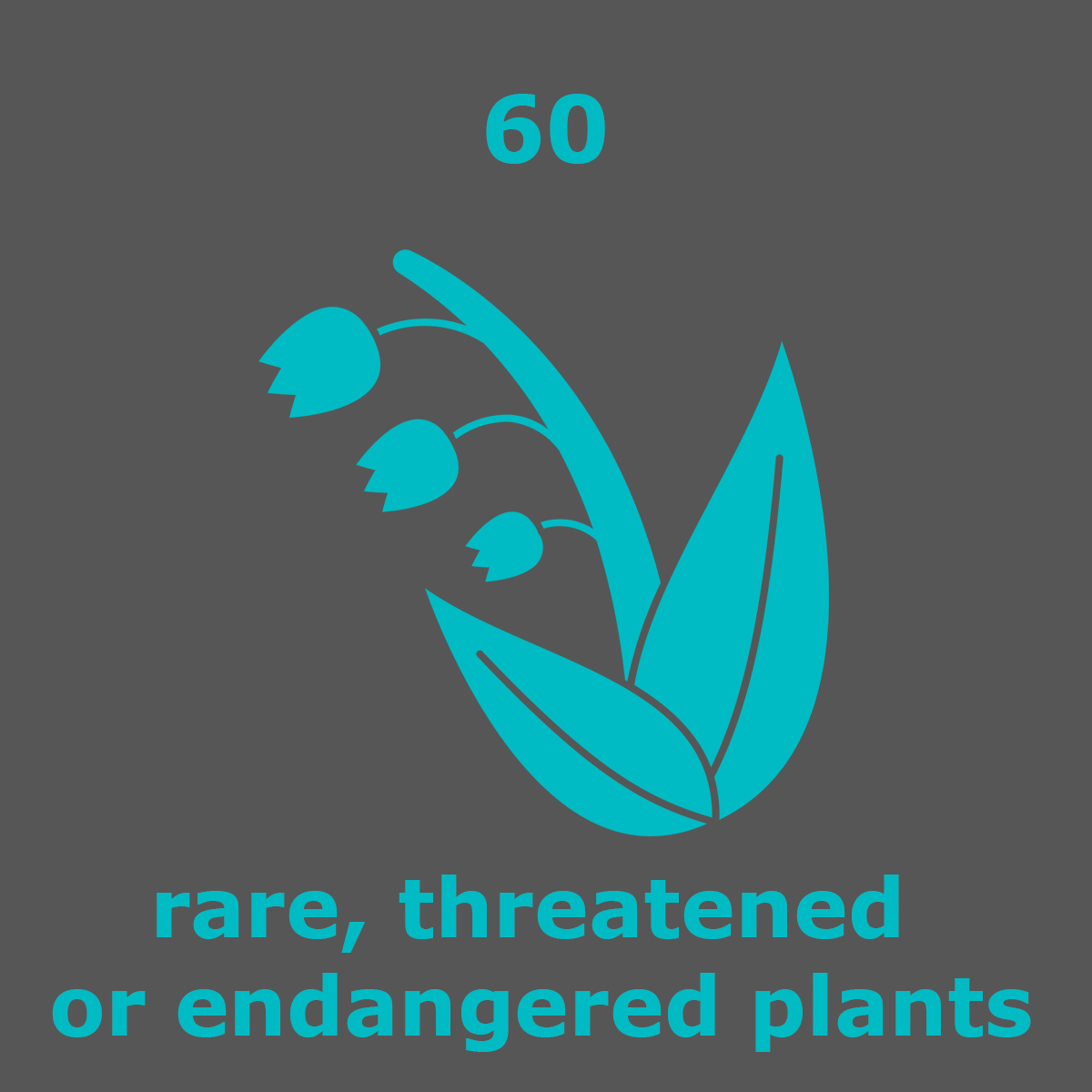
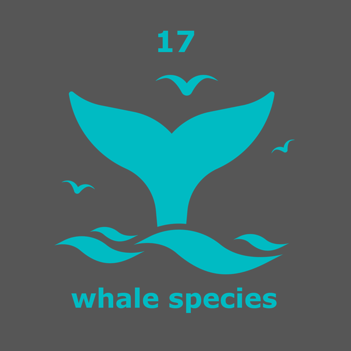
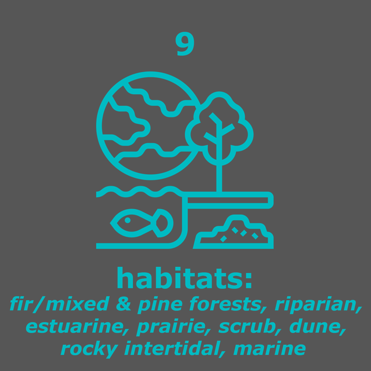
By the numbers.

point reyes live webcam
How cold & foggy is it now?
Point Reyes live webcam should really be called a "fogcam". Point Reyes is the second foggiest place in the world with more than 200 foggy days a year. Grand Banks, Newfoundland is the foggiest.
Fog.today brings you a look at fog along the Bay Area coast — very cool!
In addition, close to real-time photos are available from cameras located on Black Mountain, Mount Barnabe, and Mount Vision courtesy of AlertWildfire.org.
National Weather Service 7-day forecasts for Point Reyes.
My favorite webcam is the Marine Mammal Center’s at Chimney Rock. They release patients back into the wild from here. You can subscribe to get text alerts and watch live.
Nature observations
What was seen today in Point Reyes?
You can contribute to citizen science by adding observations (photos) to the California Academy of Science's iNaturalist app or website.
It's easy, fun, and turns hikes into treasure hunts. Pausing to take photos may slow down your hike, but it will increase your curiosity about all the living things around you. Give it a try!

