Woodward Valley Trail
Trail length: 2 miles
Time: Depends on which trails you take to access this trail
Terrain: coastal scrub, forest, slope
Restroom? No
Parking: No
Kid friendly?
Dates visited: 7/9/18, 3/23/19, 4/11/20
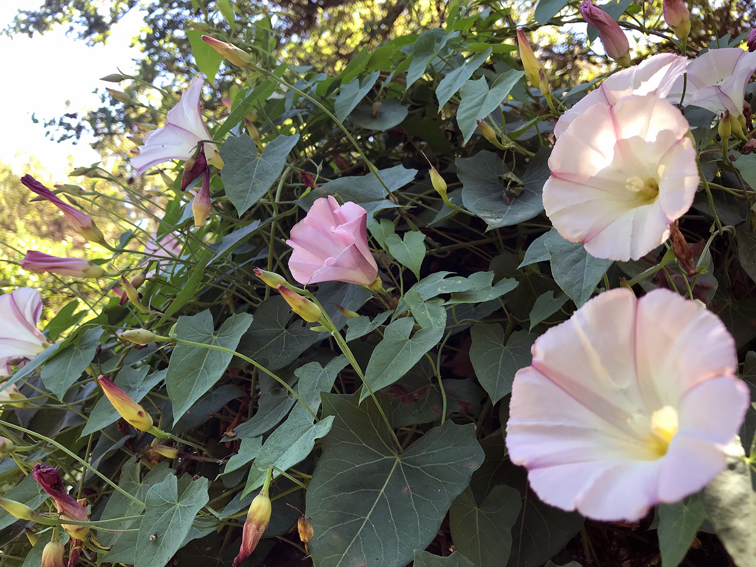
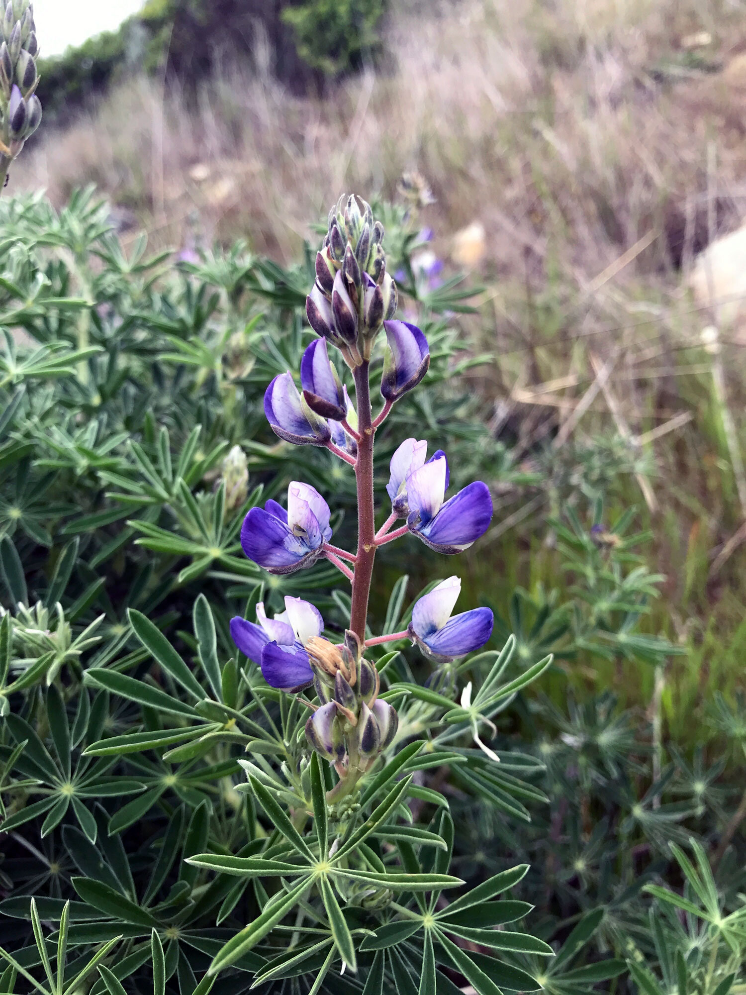
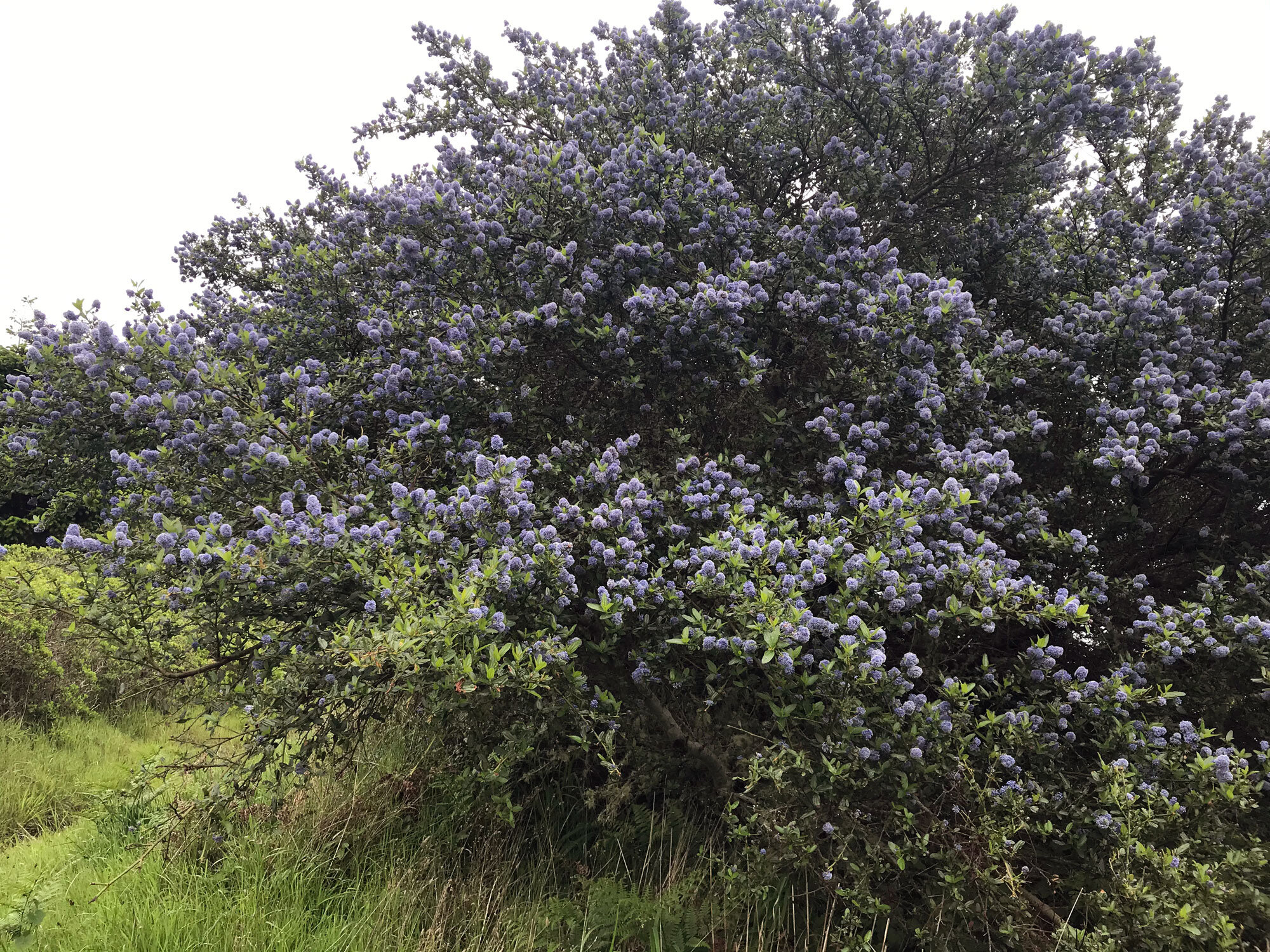
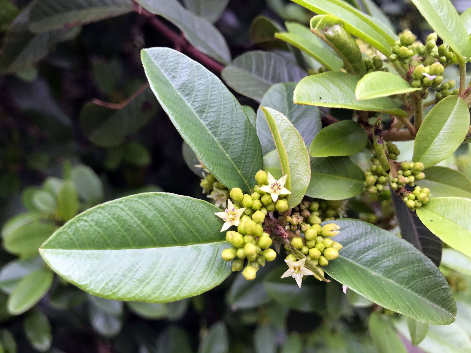
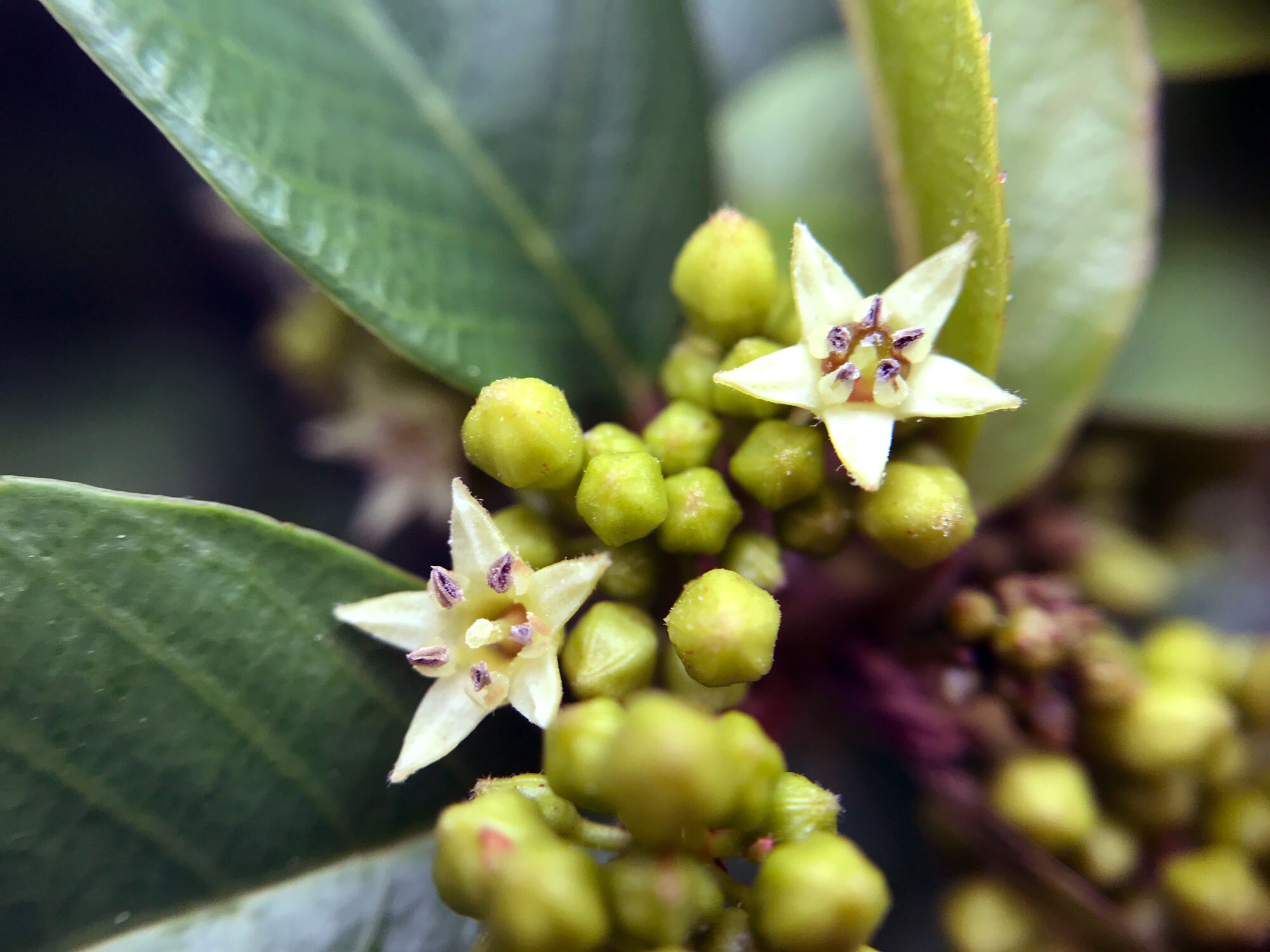
Favorite plants on this trail:
Favorite spots:
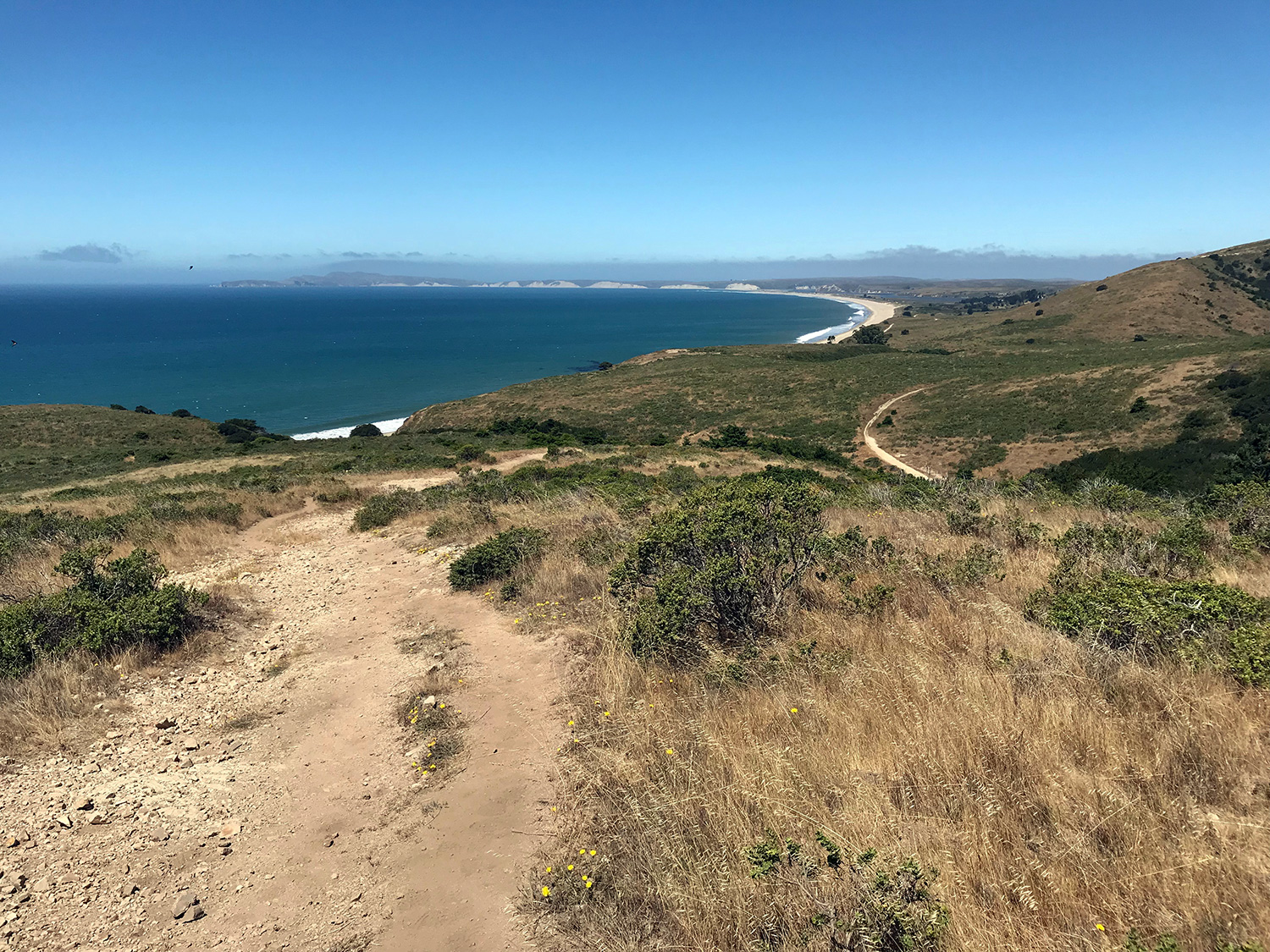
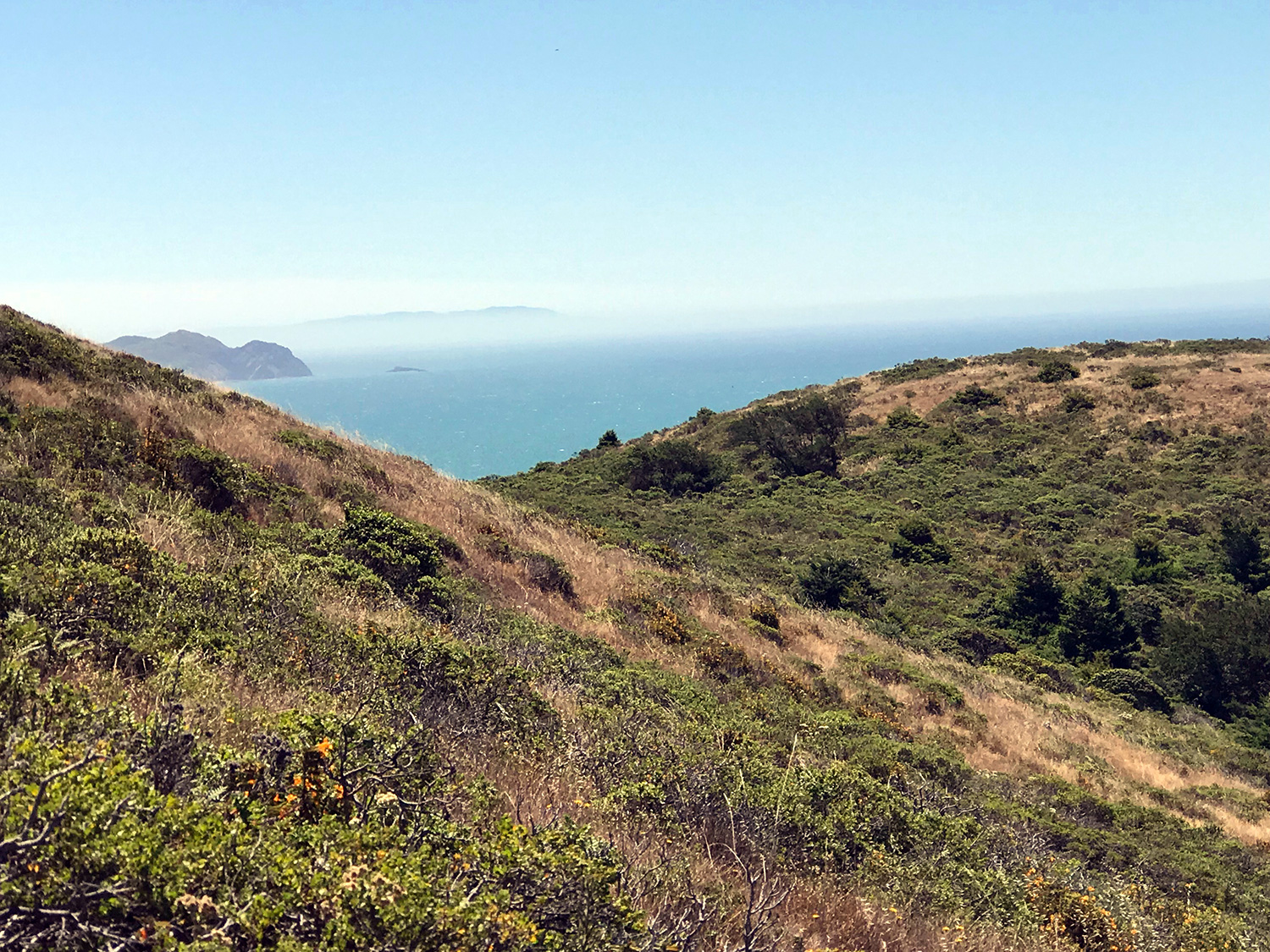
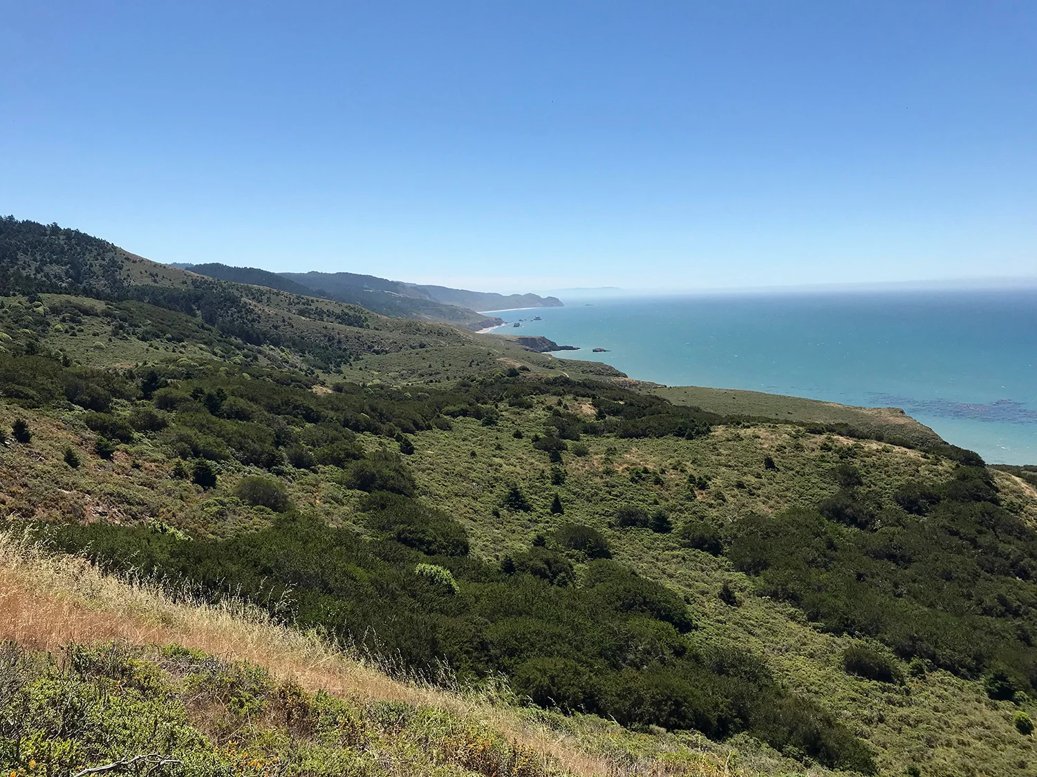
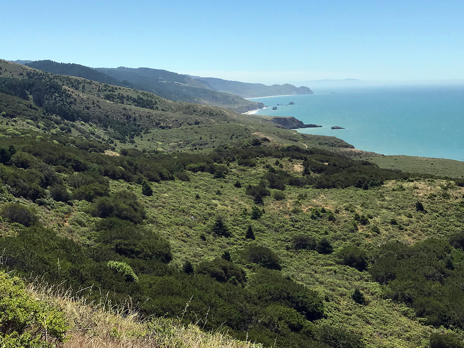
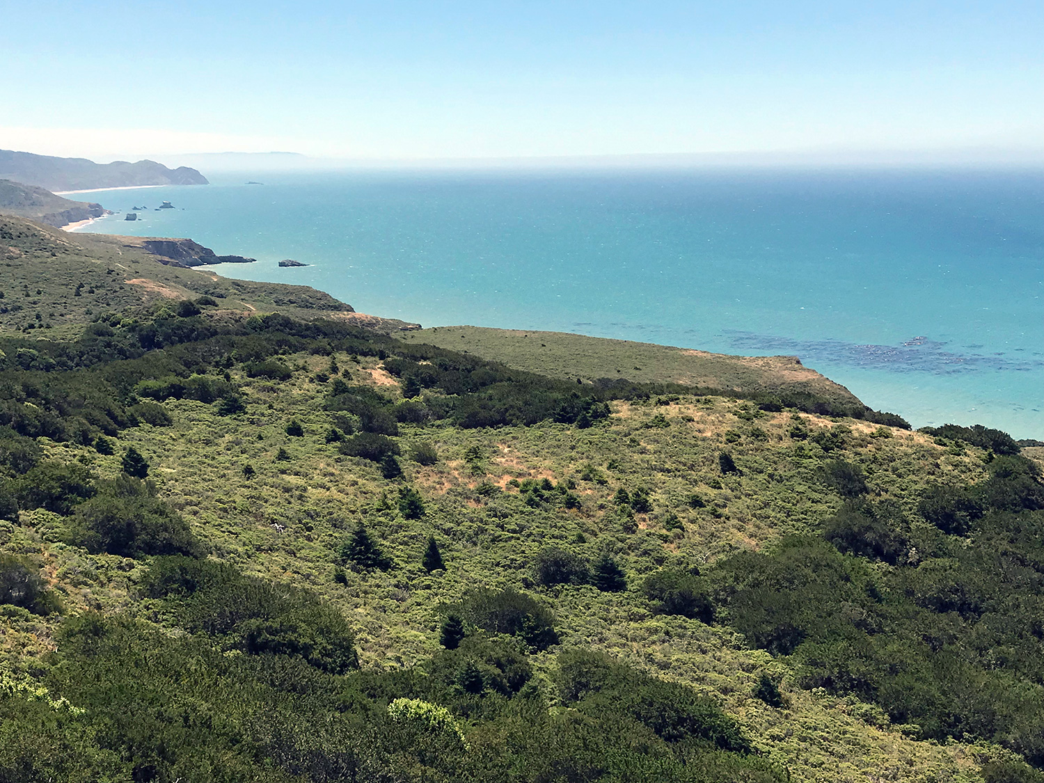
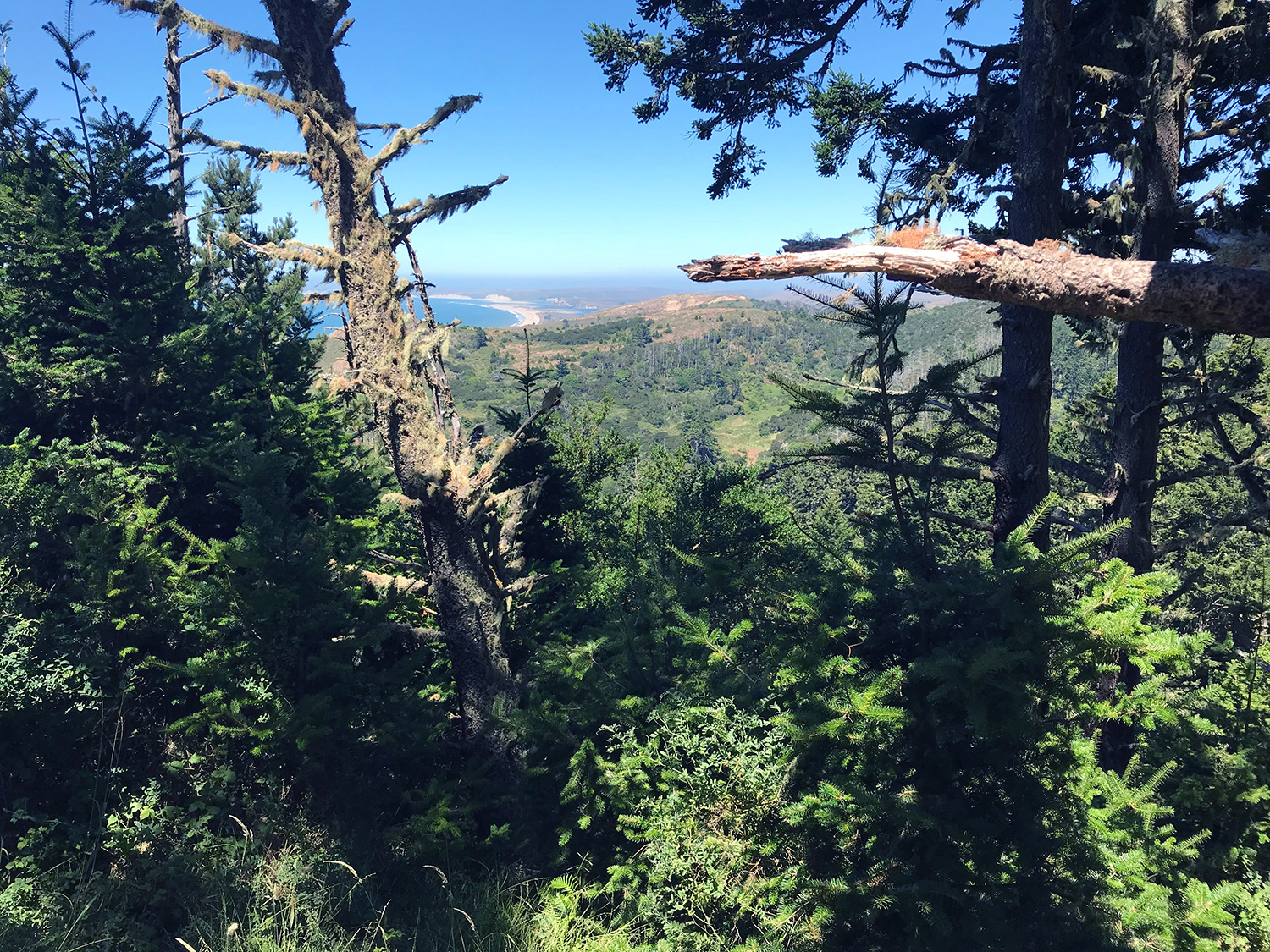
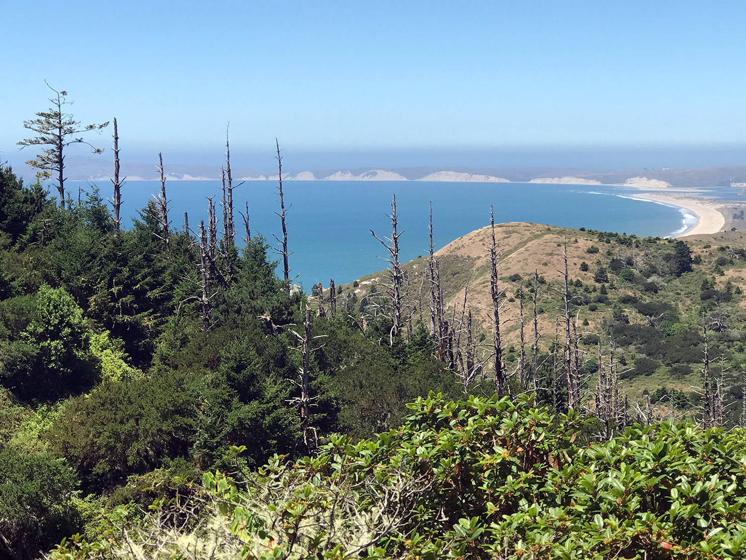
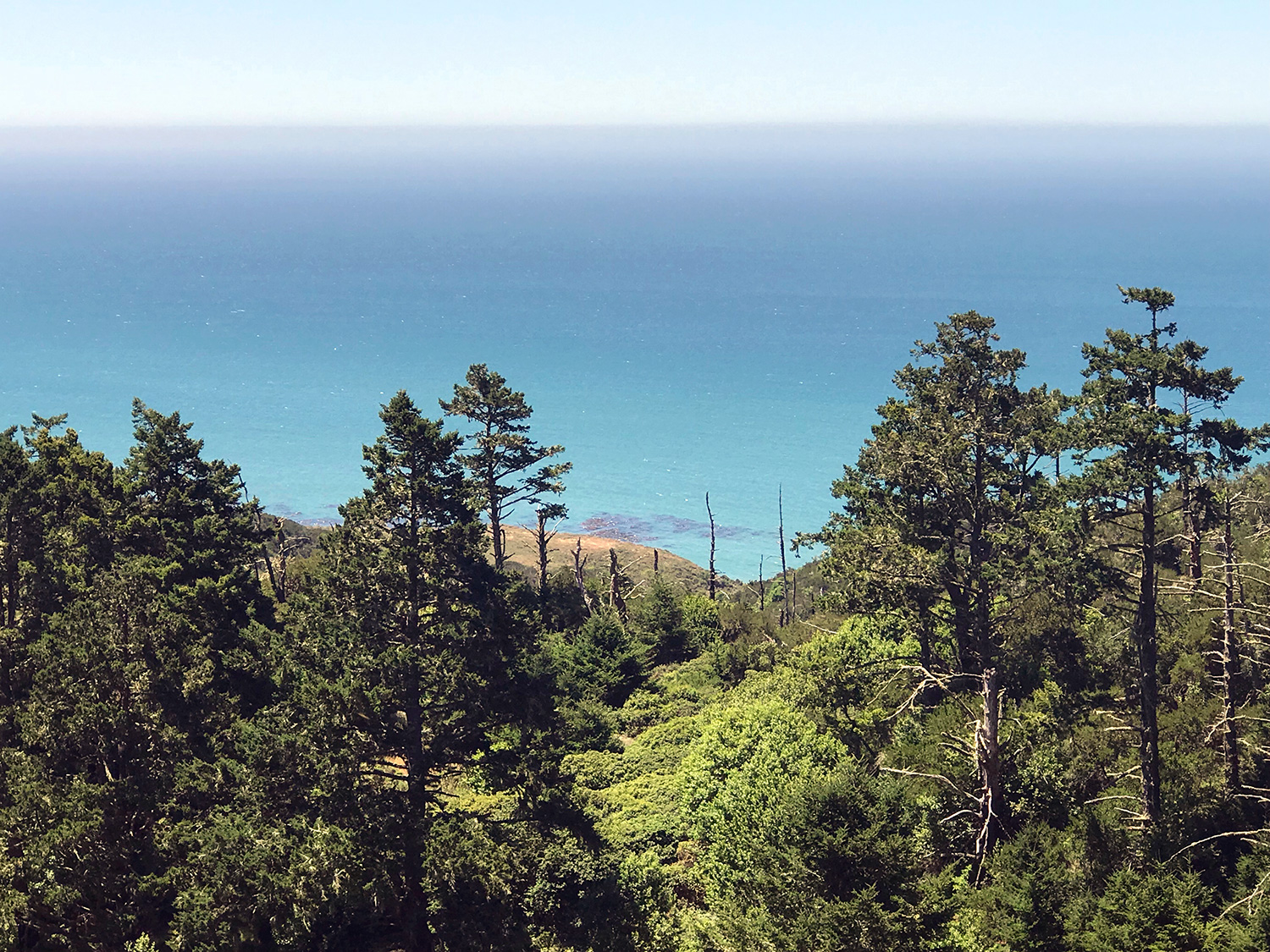
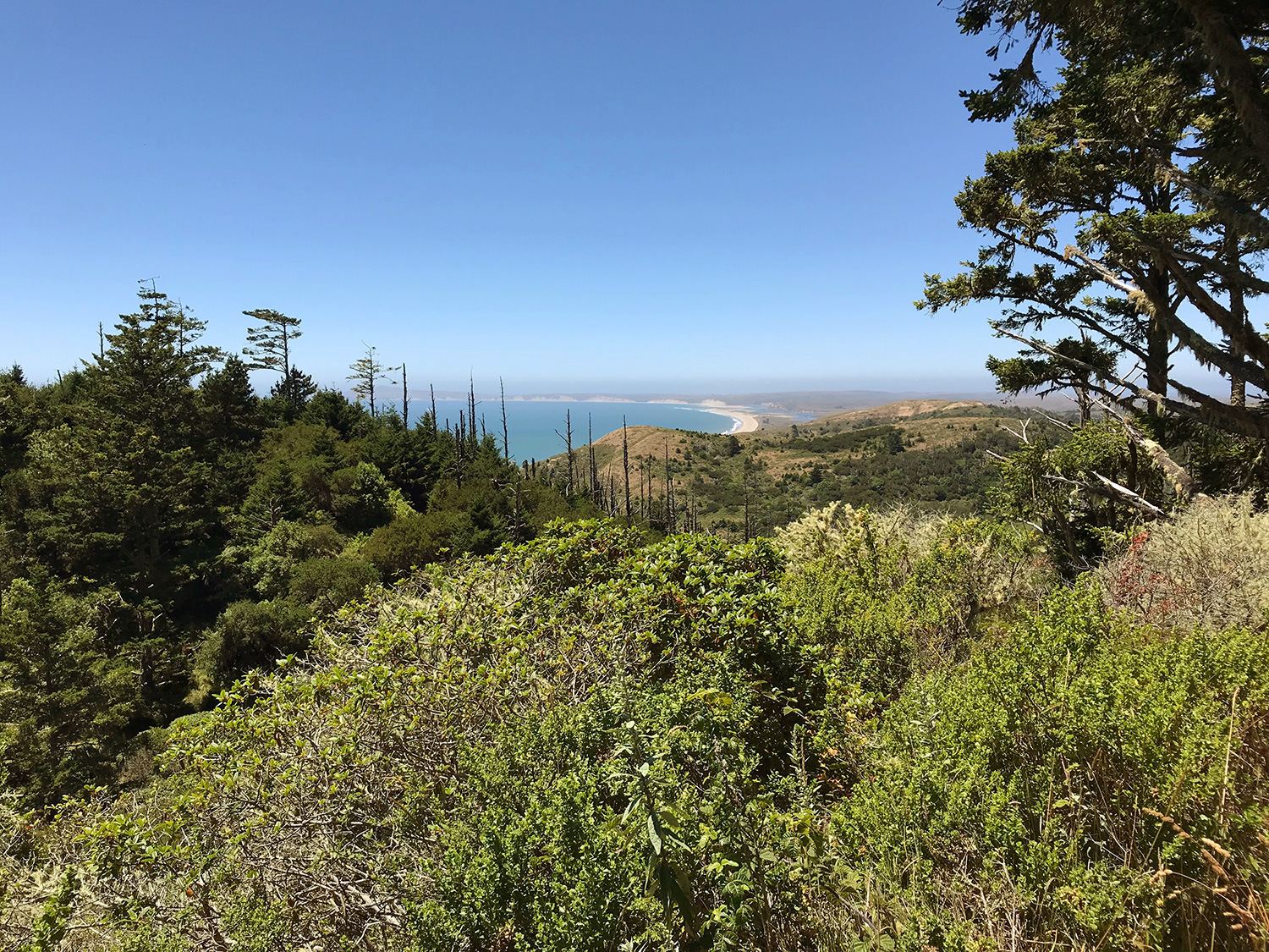
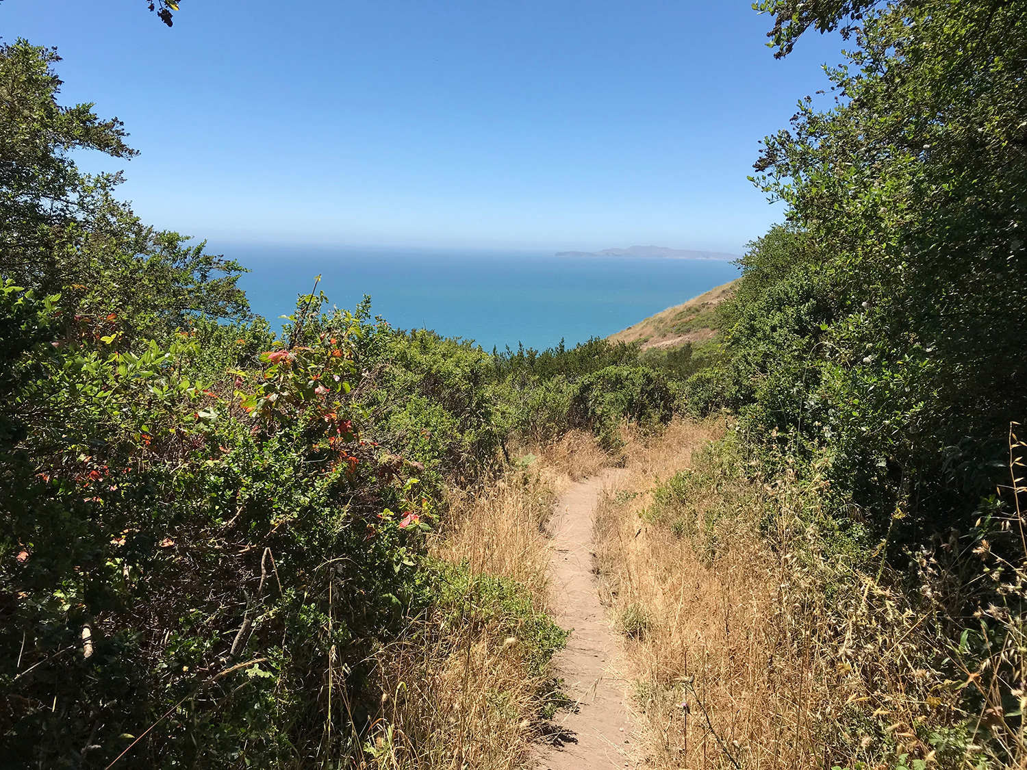
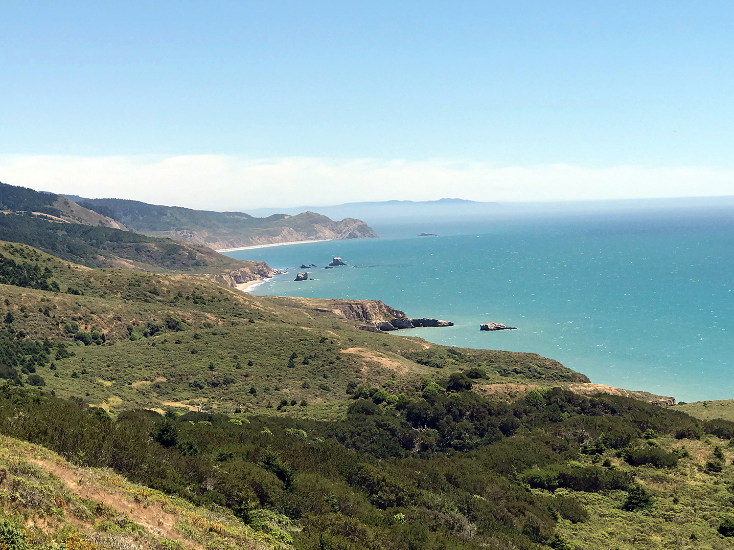
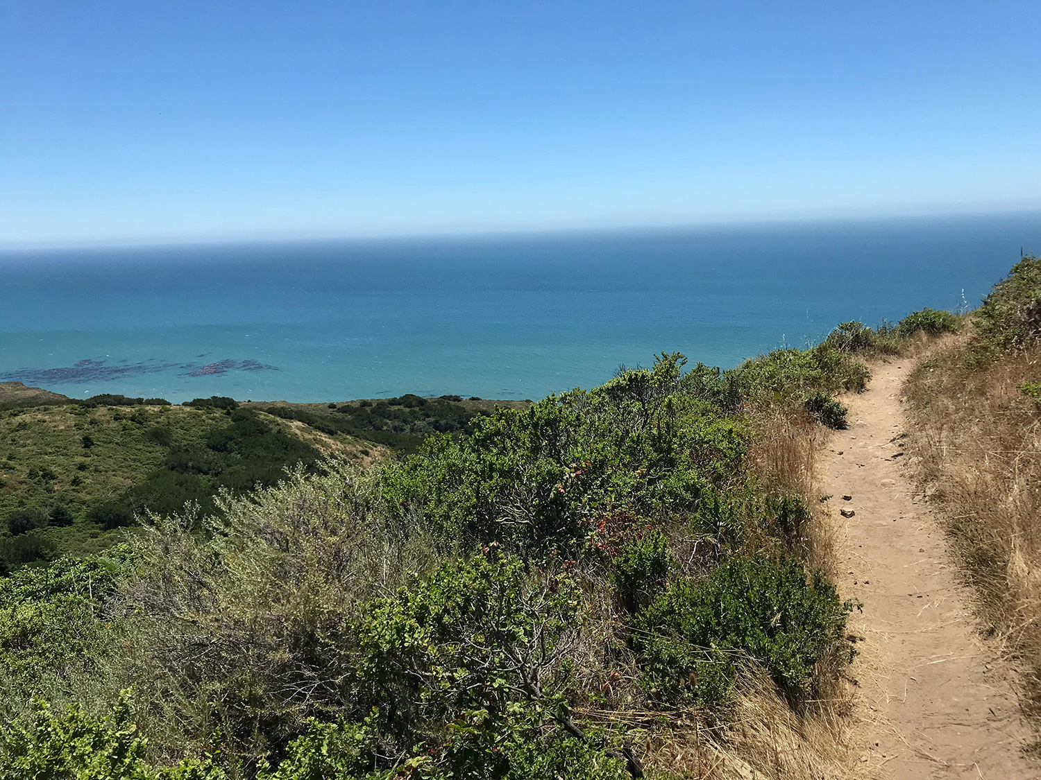
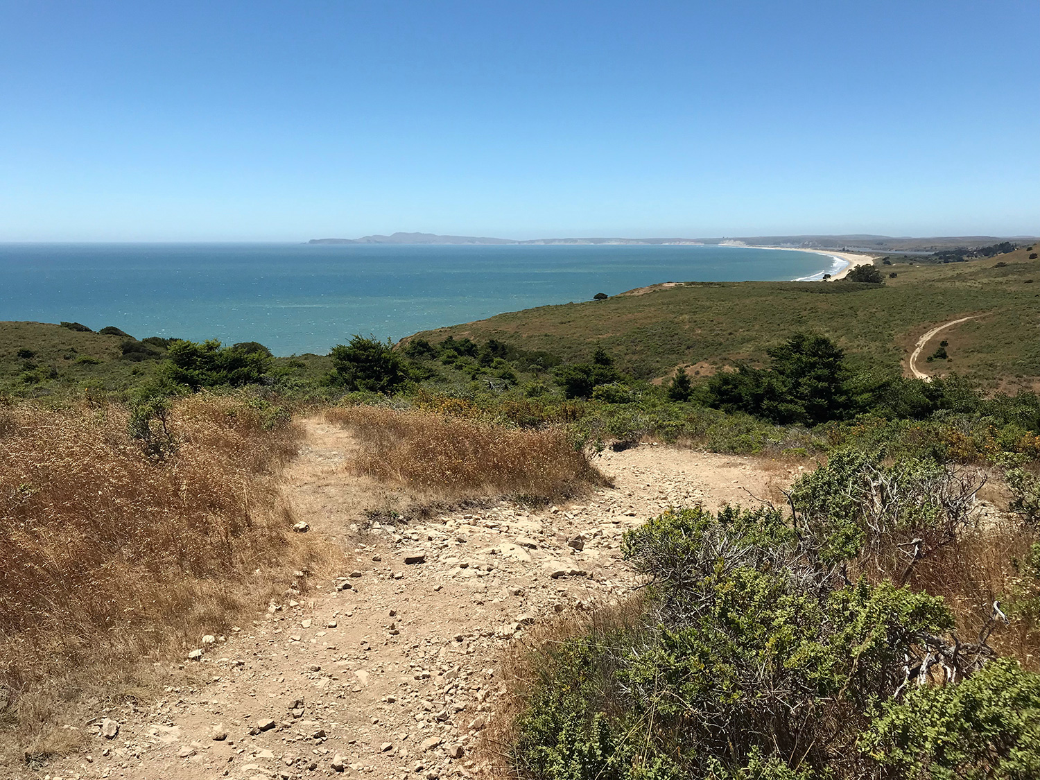
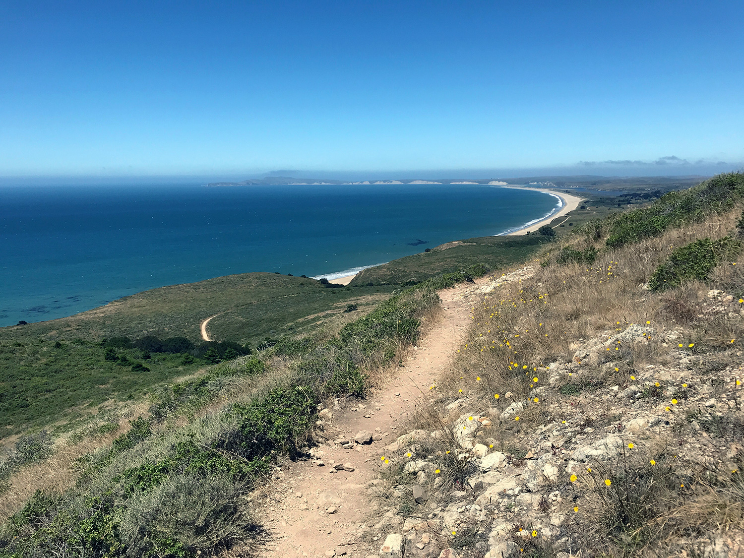
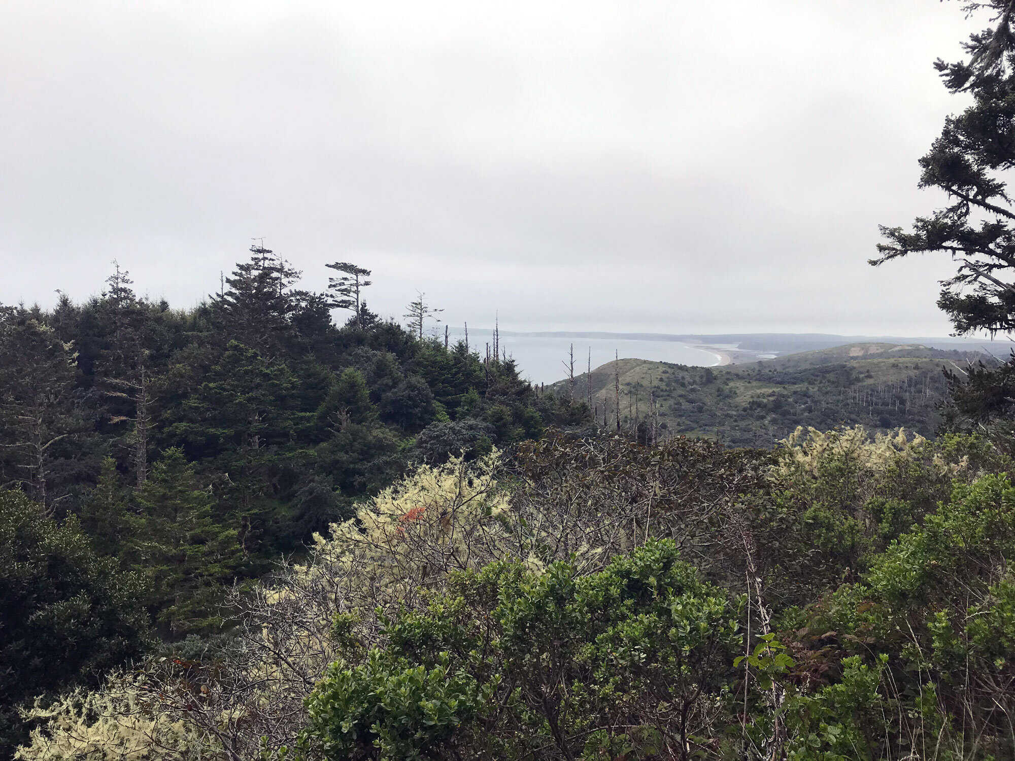
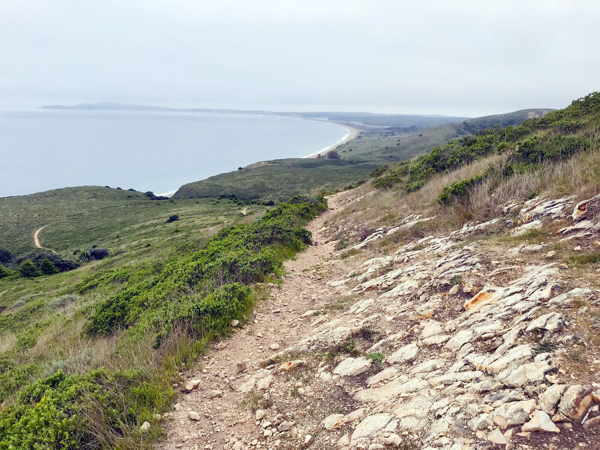
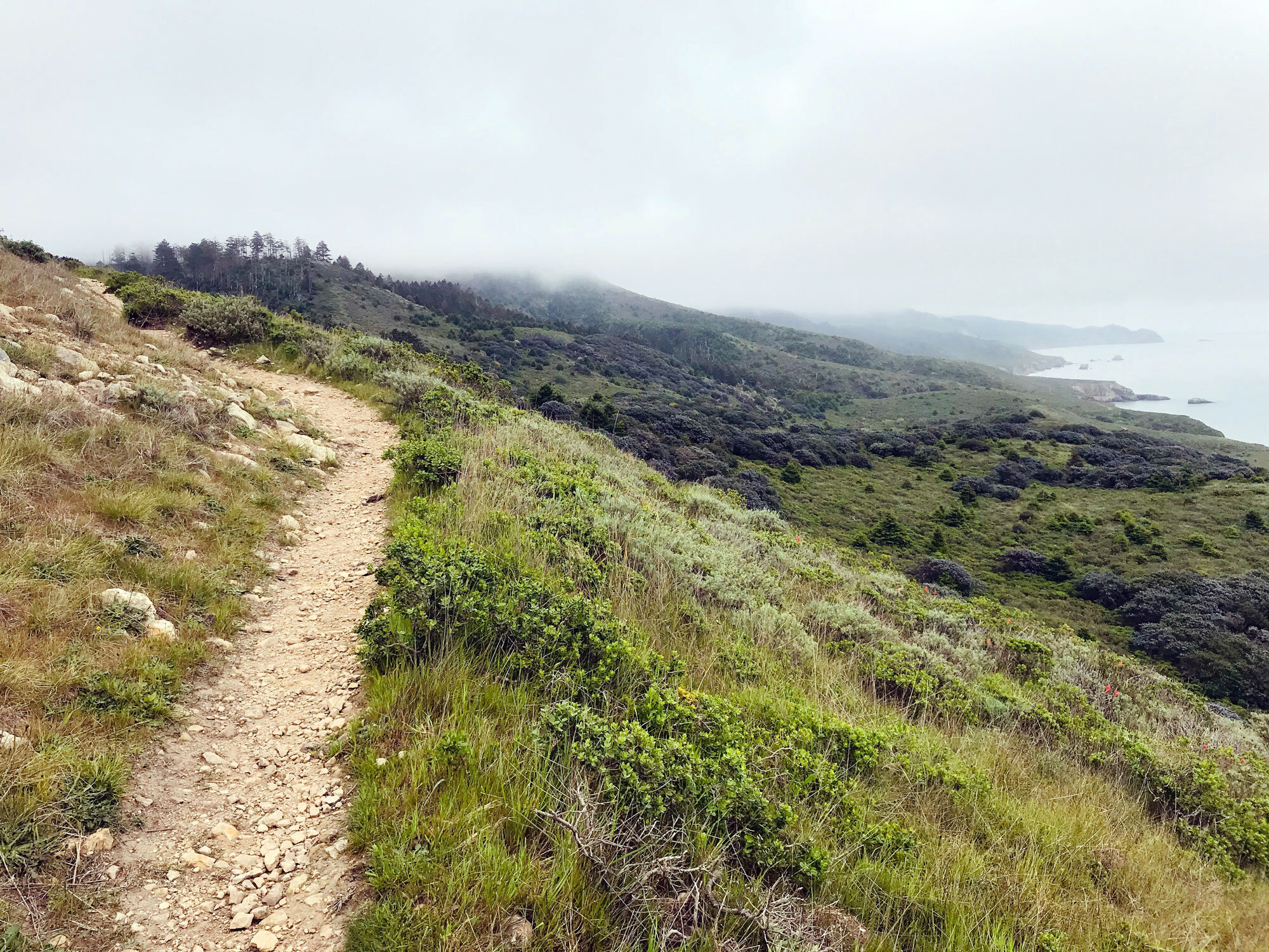
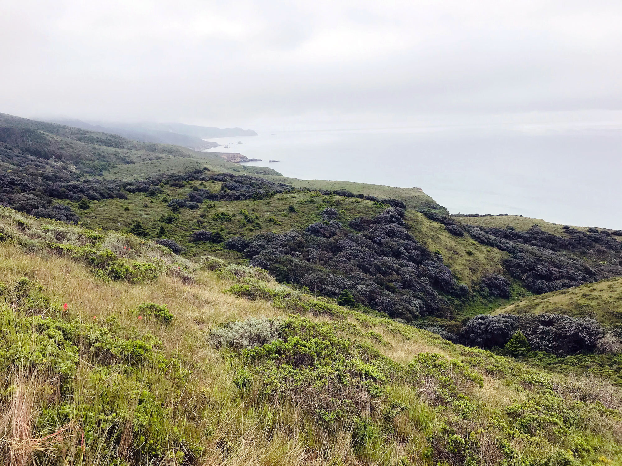
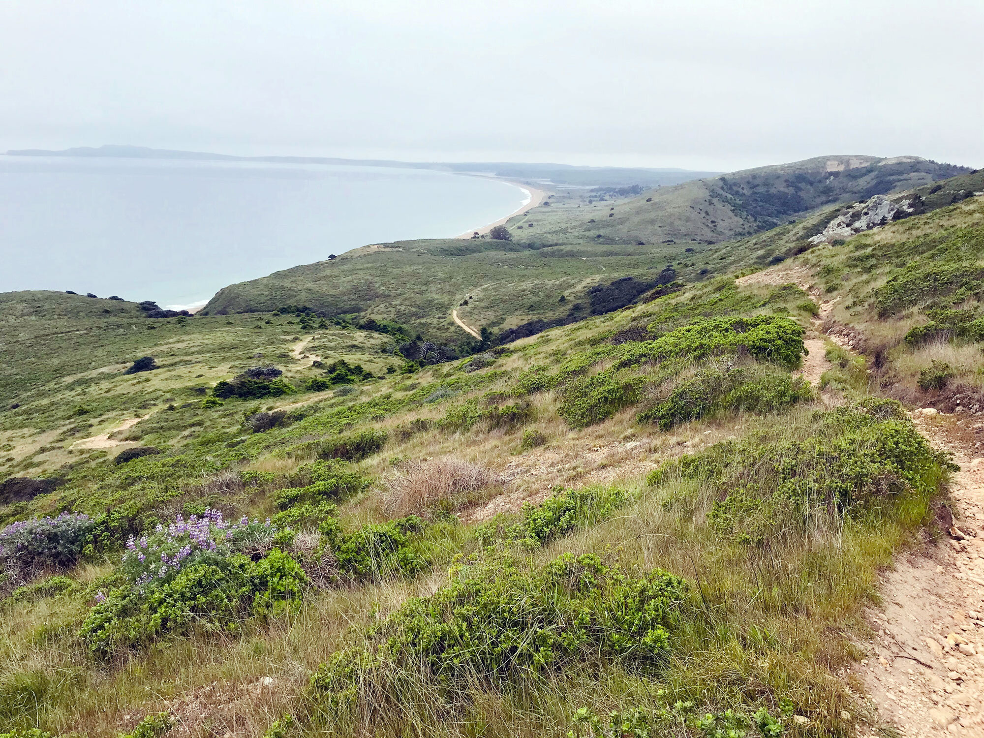
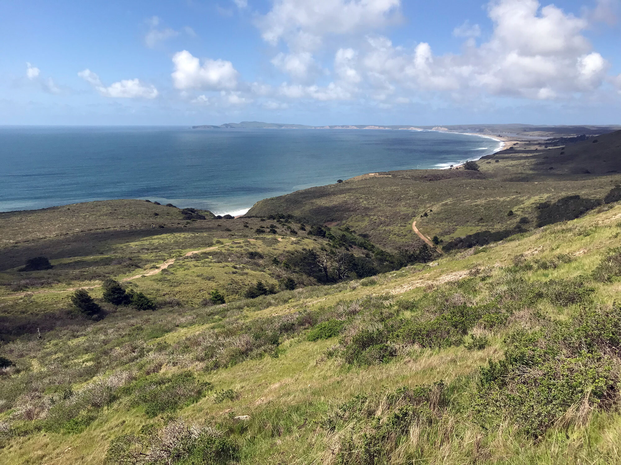
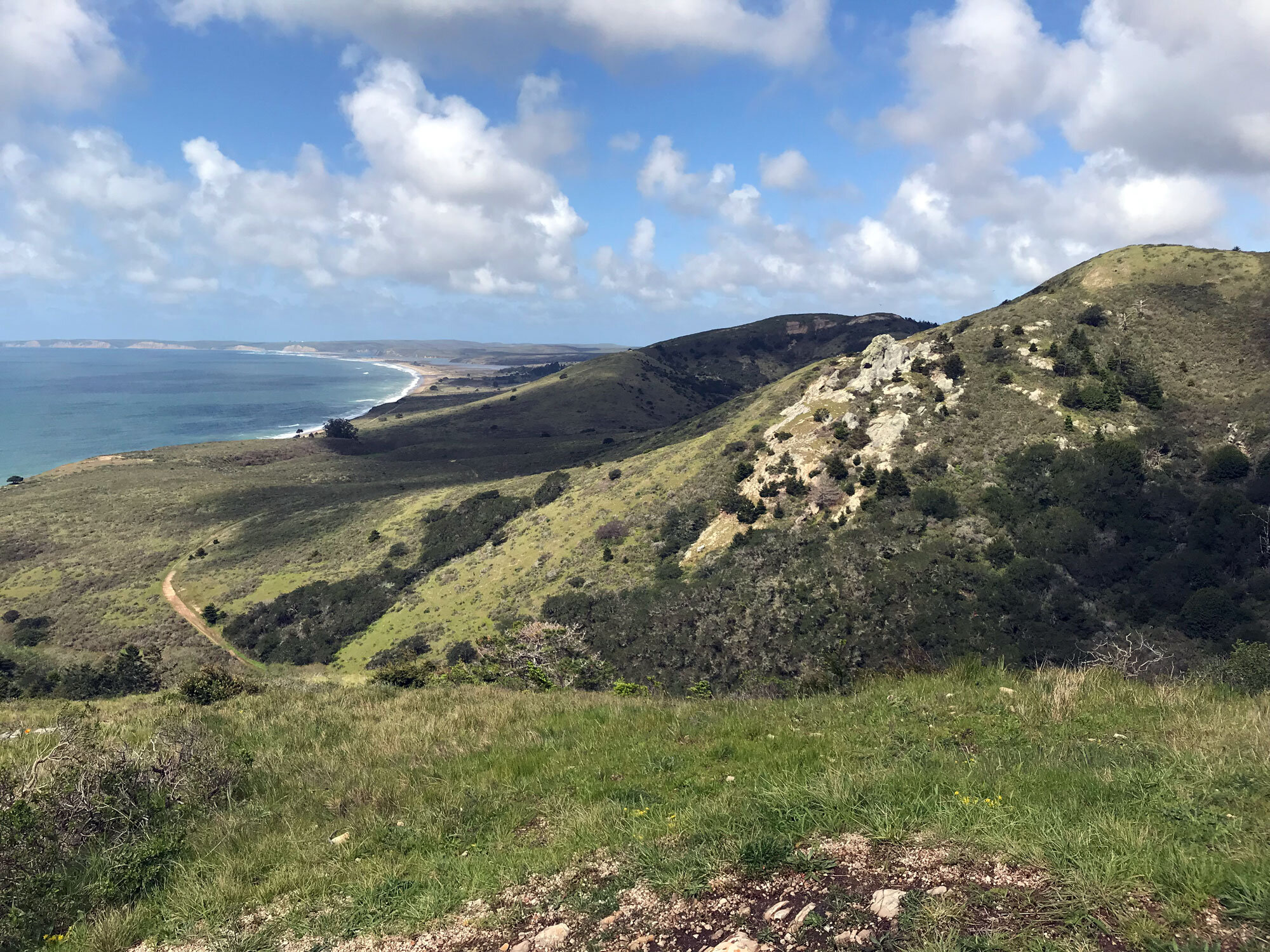
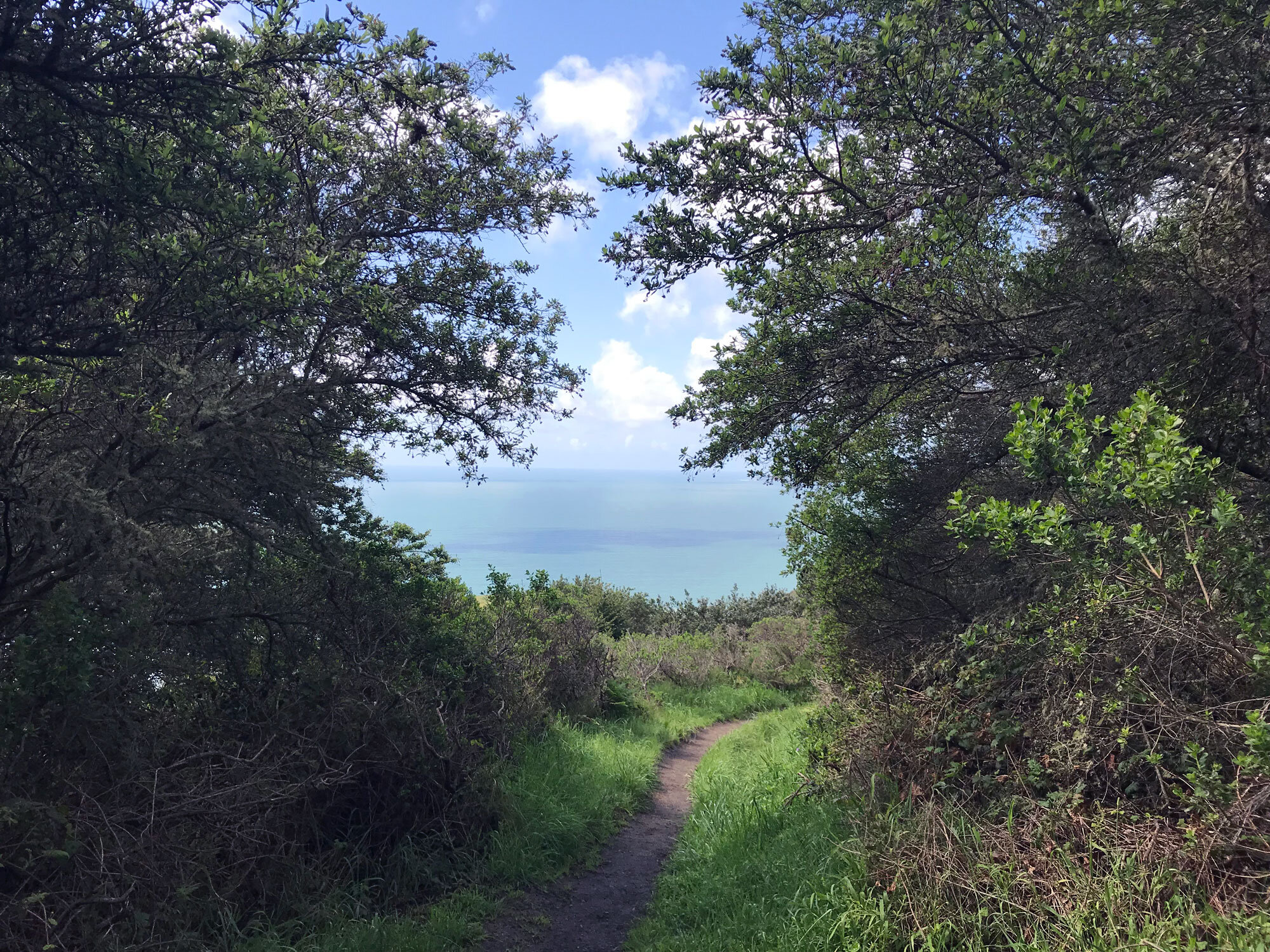
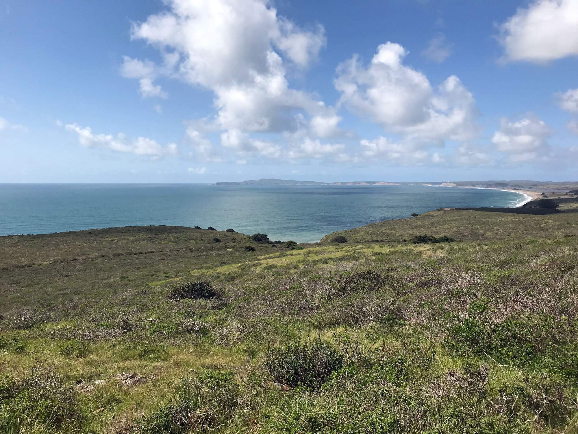
The western slope of the trail with views of the Point Reyes coast from Chimney Rock to Double Point and beyond.
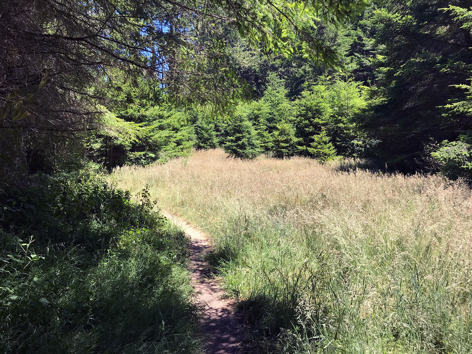
The grassy meadow at the intersection of the Sky Trail and Woodward Valley Trail, filled with dragonflies, butterflies and bees.
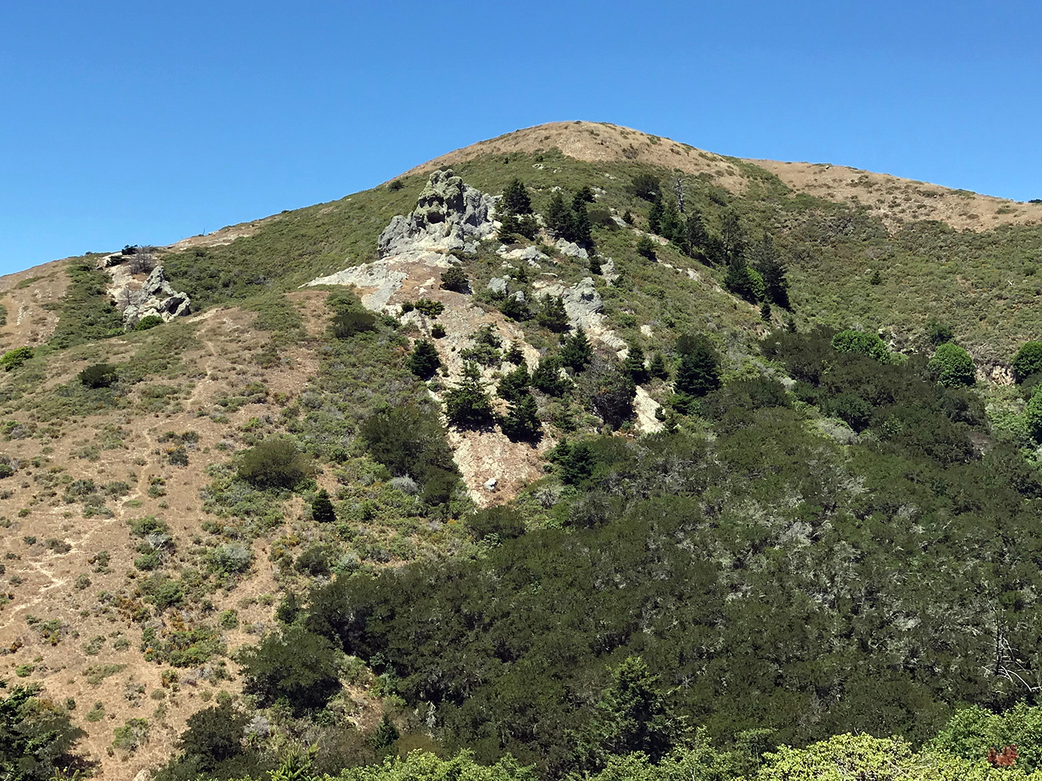
The view of the rocky outcropping atop a distant hill.
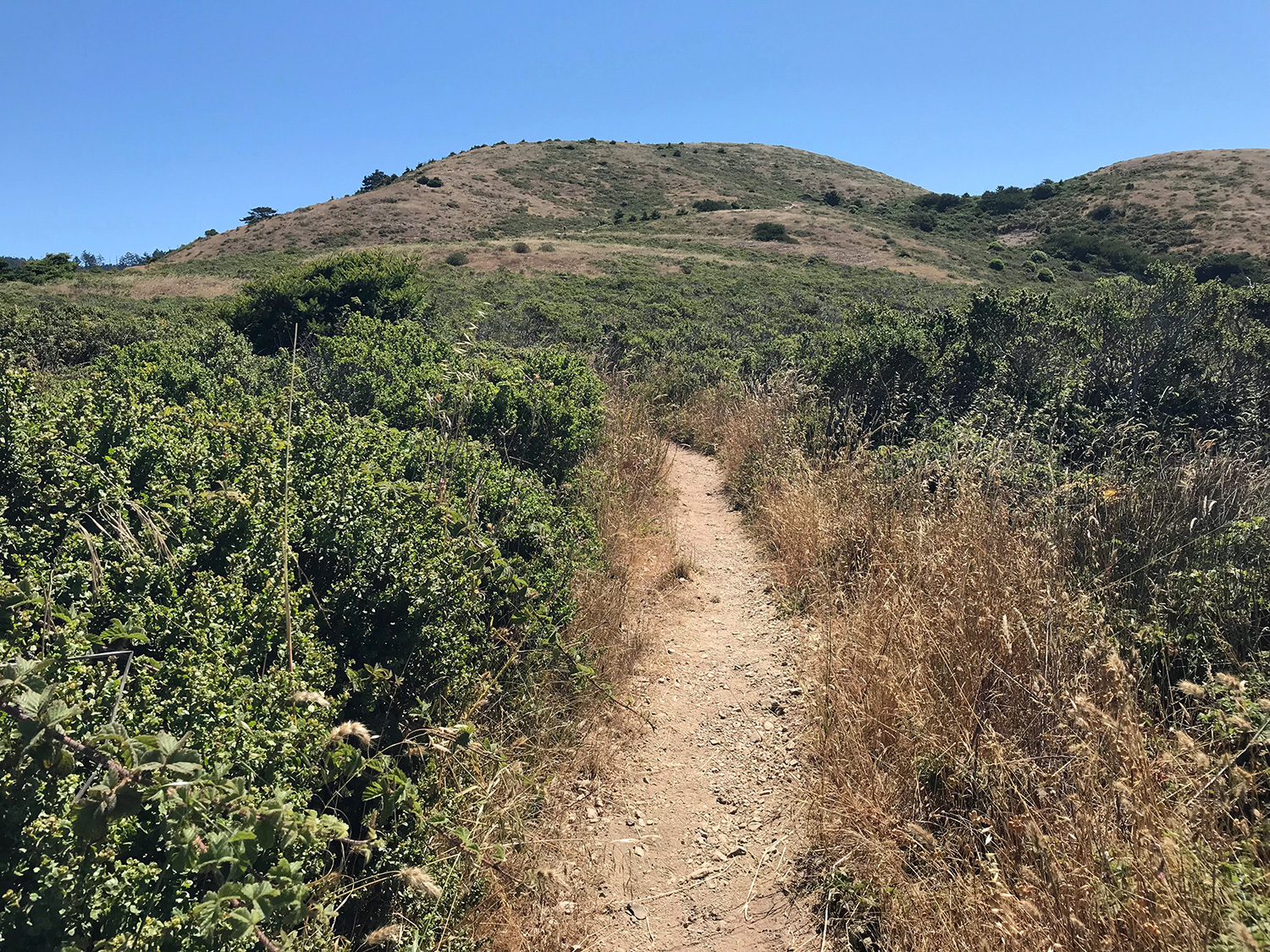
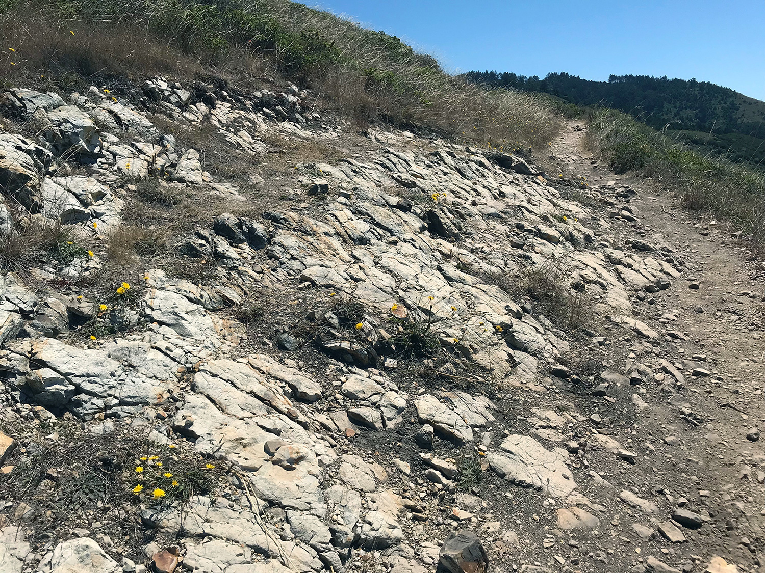
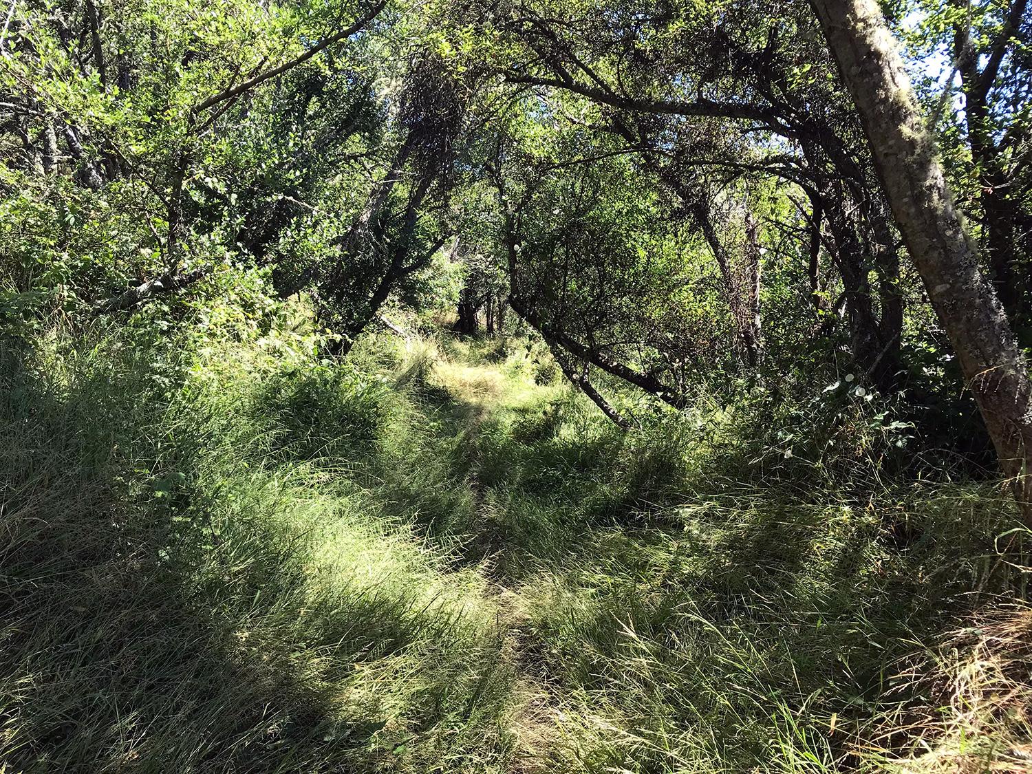
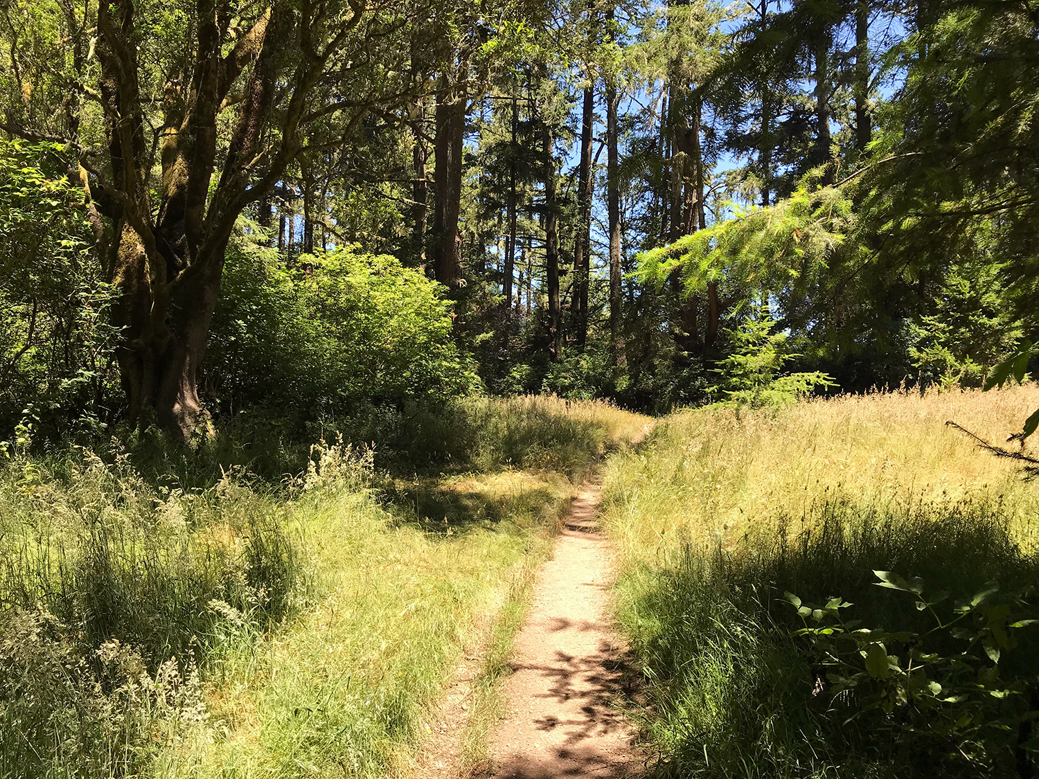
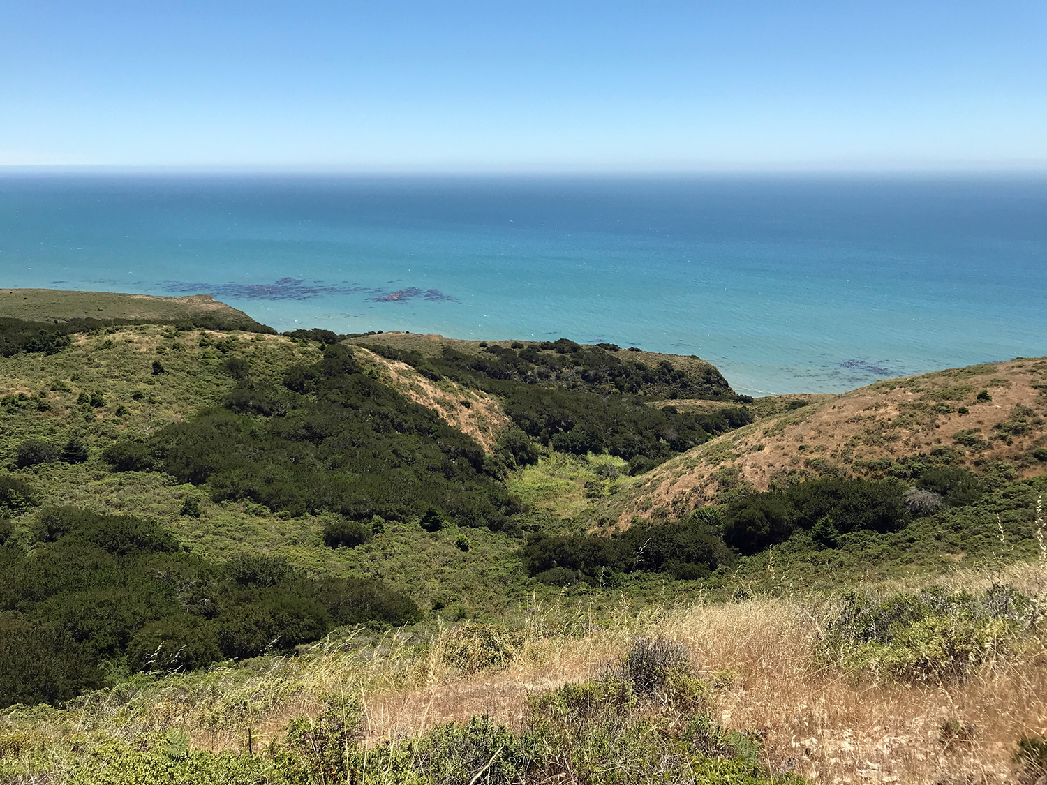
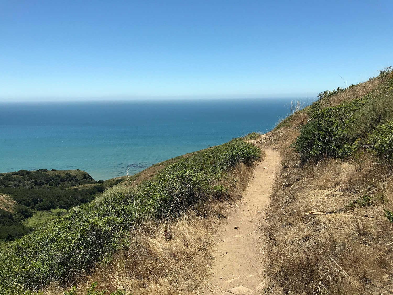
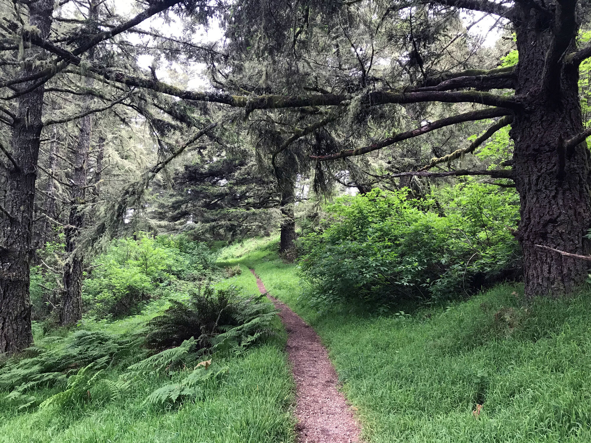
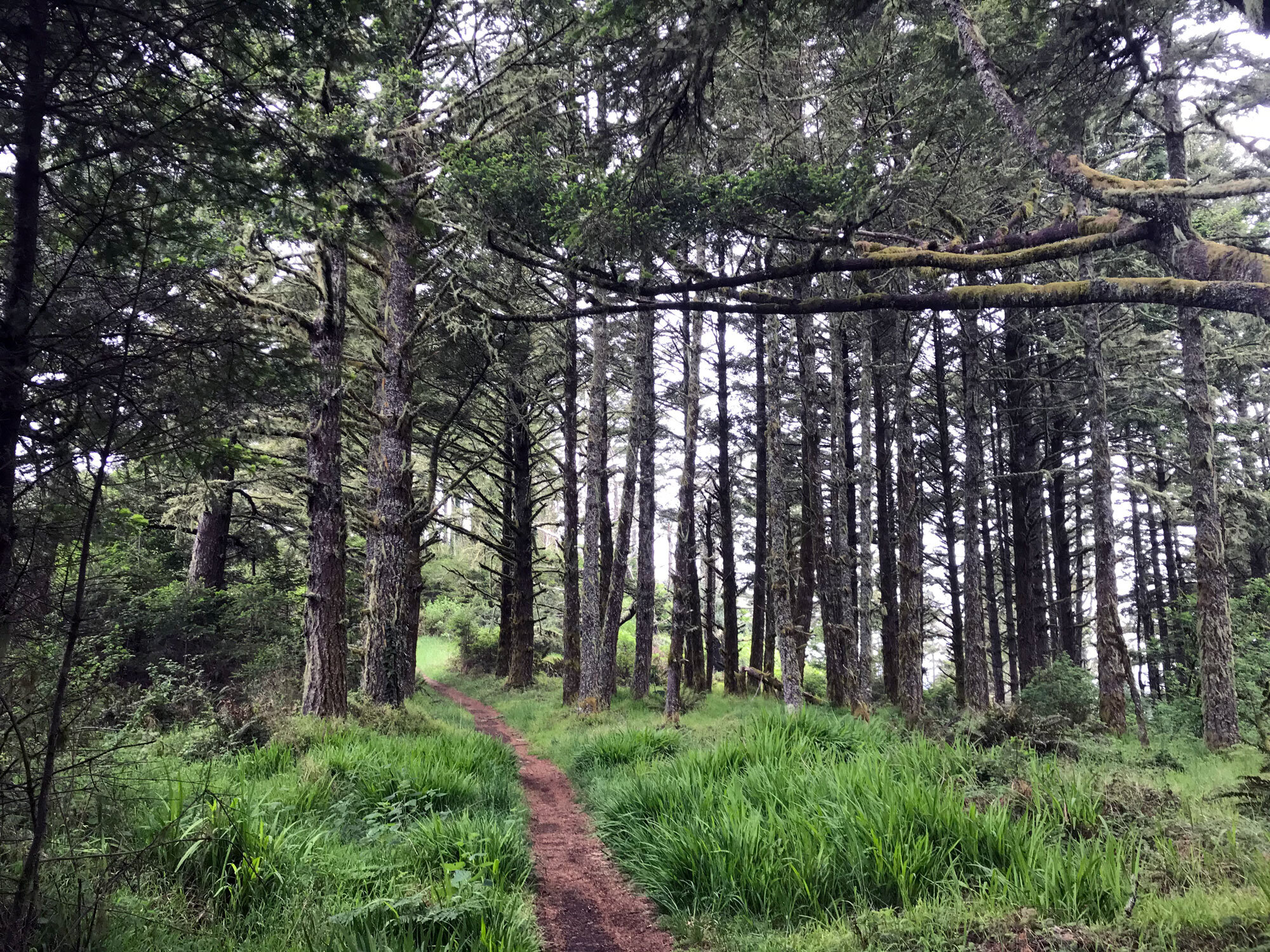
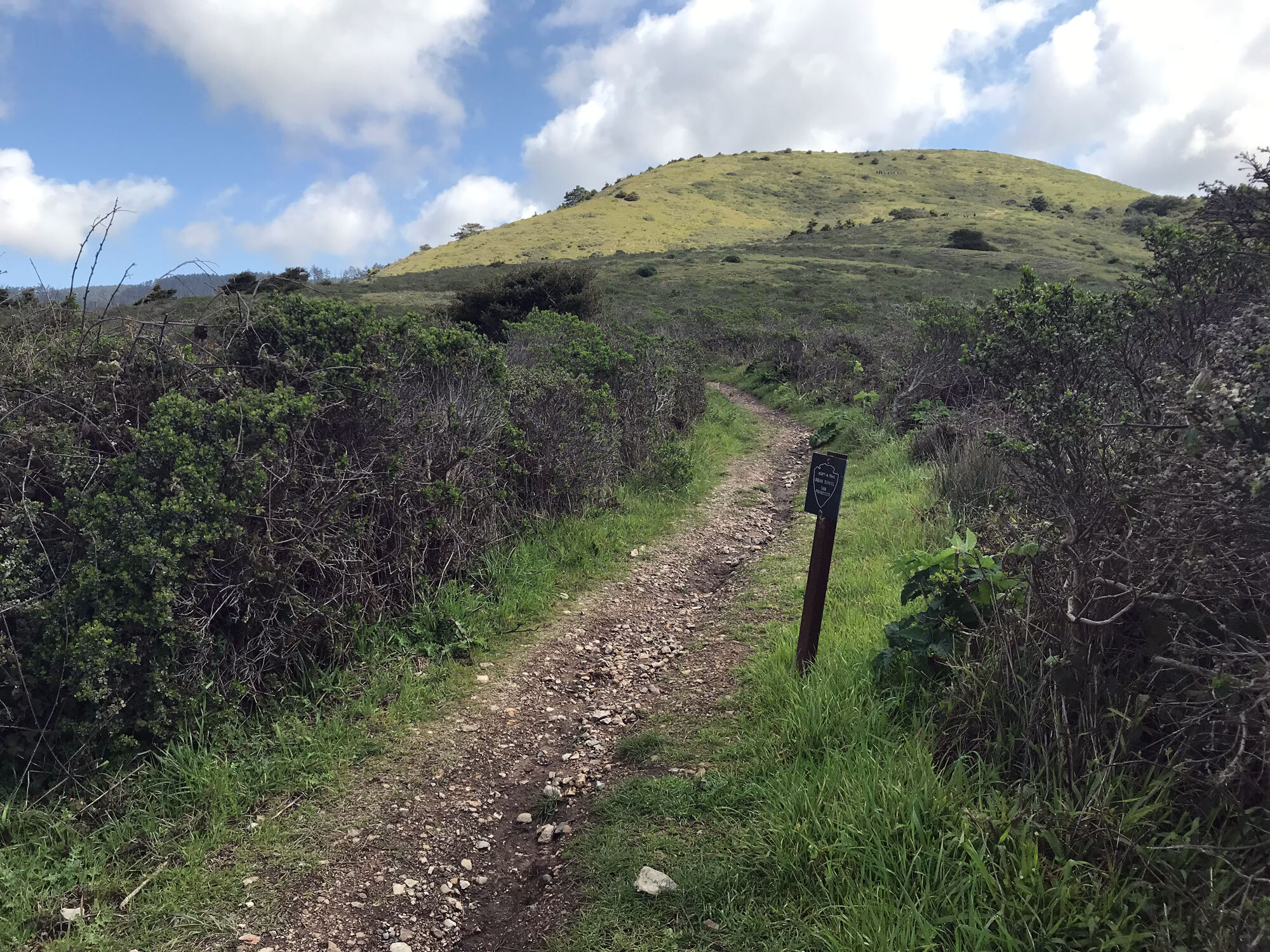
Woodward Valley is not what you might think of as a valley. This hike ascends from the coast to higher elevation forests. This trail offers stunning views of the Point Reyes coast from Double Point in the south to Chimney Rock and Drakes Beach in the north. The forested portion of the trail is beautiful in most sections but you may have to slog through tall grasses depending on the season. The end of the trail as you near the Sky Trail is the most beautiful. There's a lively meadow filled with dragonflies, butterflies and bees. You have several ways to get to this interior trail. Whichever route you choose, be sure to hike Woodward Valley downhill (from east to west) so you're facing toward the ocean. This will give you the best views as you hike the trail.
These are a few ways to access the Woodward Valley trail. There are many others including starting at the Bear Valley Visitor Center.
Forest routes (9.3 mile, lollipop)
Starting at the Sky Trailhead, hike to Woodward Valley Trail (2.6 miles). Hike the Woodward Valley Trail to the Coast Trail (2.0 miles). Turn right on the Coast Trail toward the Fire Lane Trail (0.6 miles). Take the Fire Lane Trail back to the Sky Trail (3.3 miles). Turn left on the Sky Trail to return to the trailhead (0.8 miles).
Starting at the Laguna Trailhead, go right onto the Laguna Trail (toward the ocean) and hike to the Fire Lane Trail (0.8 miles). Turn left and follow the Fire Lane Trail to the Sky Trail (2.3 miles). Turn right on the Sky Trail and hike to the Woodward Valley Trail (1.8 miles). Take the Woodward Valley Trail to the Coast Trail (2.0 miles). Turn right on the Coast Trail to the Fire Lane Trail (0.6 miles). Follow the Fire Lane Trail to the Laguna Trail (1.0 miles) and return on the Laguna Trail to the trailhead (0.8 miles). This route is uphill for much of the way so bring plenty of water. For more details, read my blog post on this hike done in November 2021.
Forest Route (9.1 miles, loop)
Starting at the Laguna Trailhead, go left onto the Laguna Trail heading into the forest behind the Clem Miller Center. Hike to the Sky Trail (2.1 miles). The Laguna Trail ends at the Sky Trail parking lot. Hike on the Sky Trail to the Woodward Valley Trail (2.6 miles). Hike the Woodward Valley Trail to the Coast Trail (2.0 miles). Turn right on the Coast Trail toward the Fire Lane Trail (0.6 miles). Take the Fire Lane Trail for 1.0 mile at which point the trail becomes the Laguna Trail. Stay on the Laguna Trail back to the Laguna Trailhead (0.8 miles).
Beach route (~ 5-8 miles, in and out, depending on how far you hike on the Woodward Valley Trail)
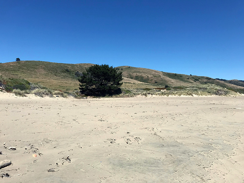
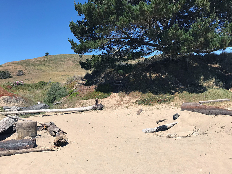
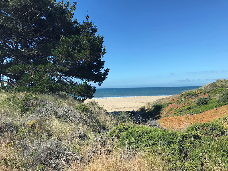
Starting from Limantour Beach: Park at the small lot on the southern end. To get to the lot, turn left on the road immediately before the large main parking lot on the right. It's a short hike from the parking lot to the beach. Turn left and walk south along Limantour beach for about 10 minutes until you reach the pine tree closest to the beach (see images below). This is where you can easily access the Coast Trail. Climb up the dunes to the Coast Trail and take it to the Woodward Valley Trail which begins shortly after Coast Camp.
The Woodward Valley Trail is most interesting on the coast-facing portion. For a shorter hike, simply climb the Woodward Valley Trail to the top of the slope until it turns into forest. Stop, turn around and retrace your path back along the trail for spectacular views. To find the pine tree that marks the way back to Limantour Beach from Coast Trail, it's right before the trail curves to the right toward the east and gets slightly more narrow. There's a drainage area next to the pine tree filled with driftwood and often blooming with flowers which is also a marker.
Panoramic views of the coast from the Woodward Valley Trail
The view is not identical, but these two photos were taken near each other. If you use the round hill barely poking up between the trail and the ocean of the top photo as a marker, you’ll see that same hill in the middle-left of the bottom photo. This vantage point from the crest of the trail is the moment you encounter breathtaking openness after hiking out of the forest. The view to the south (toward Bolinas) is especially spectacular. It’s worth noting your own eyes will see the distant landscape closer than what appears in these photos. Imagine the details you would see if you were a hawk.
Panoramic view from woodward valley trail, March 2019
panoramic view from woodward valley trail, April 2020
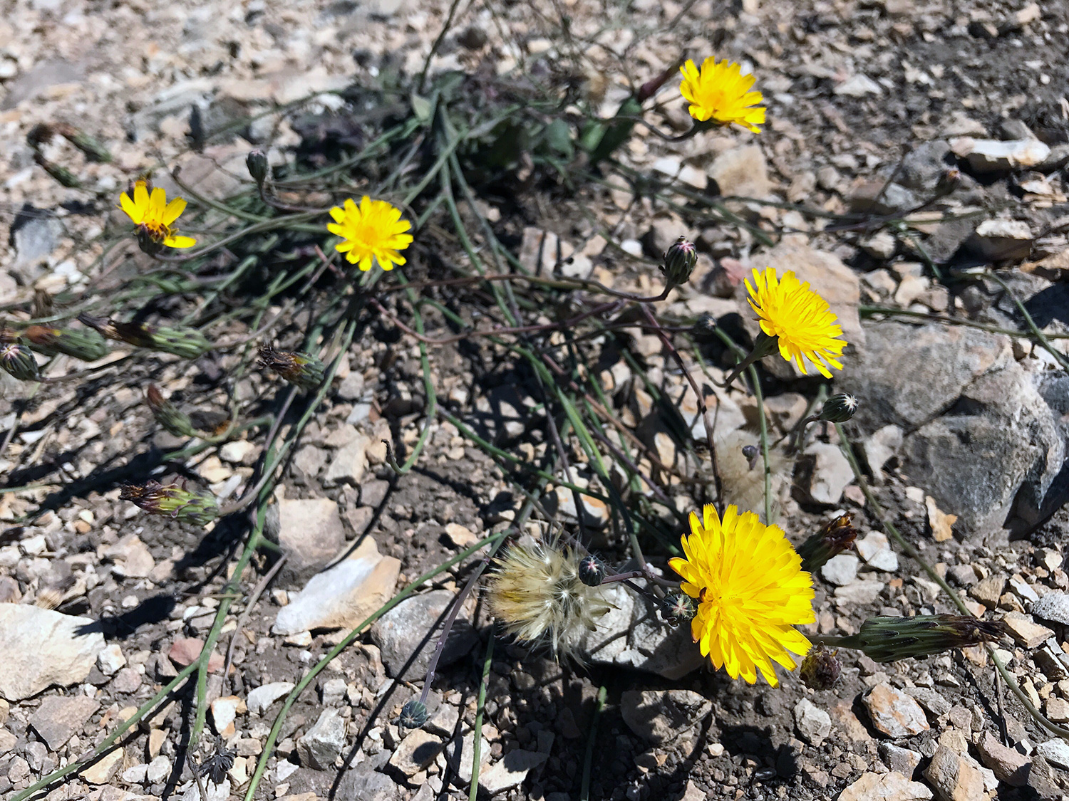
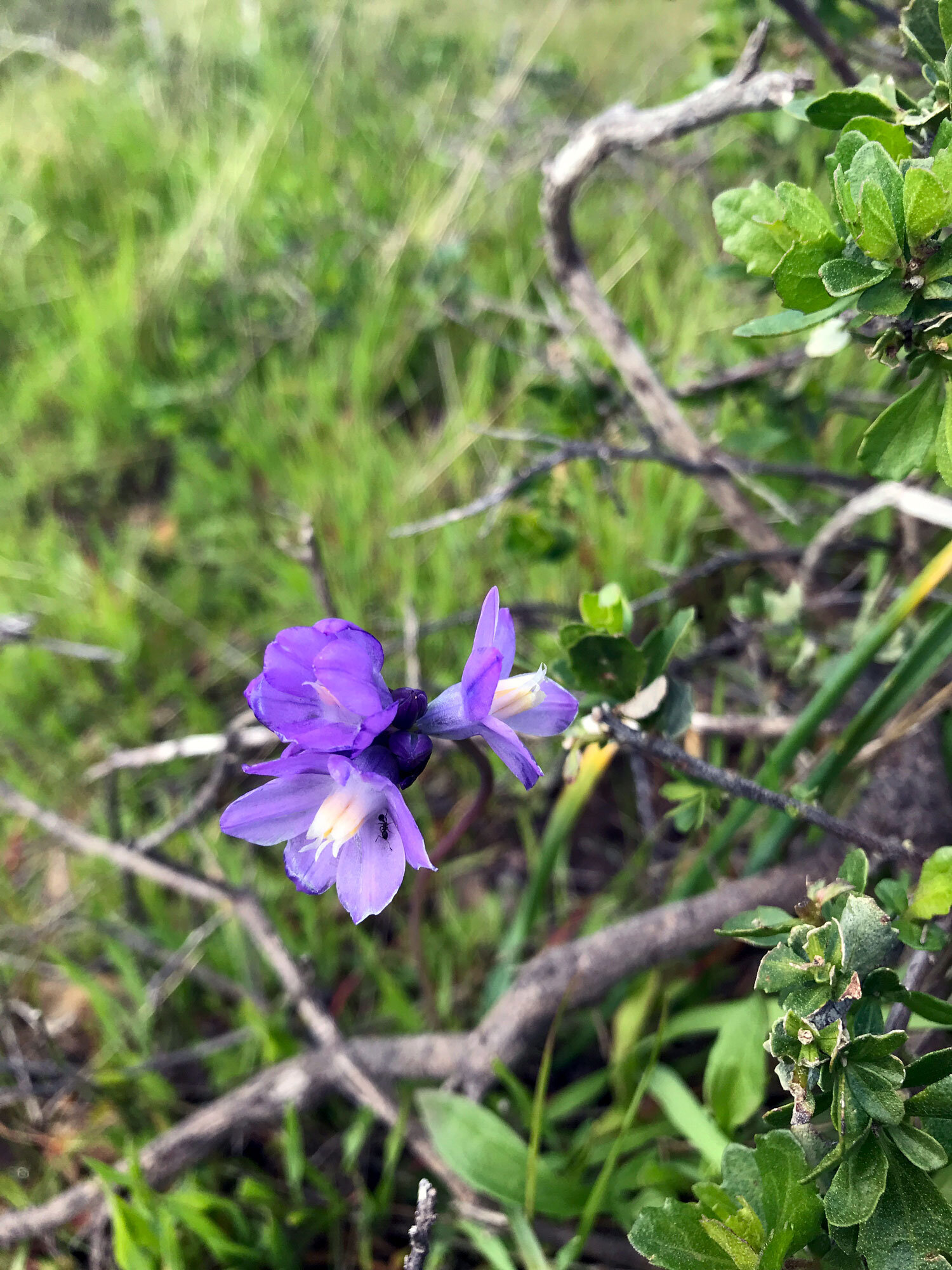
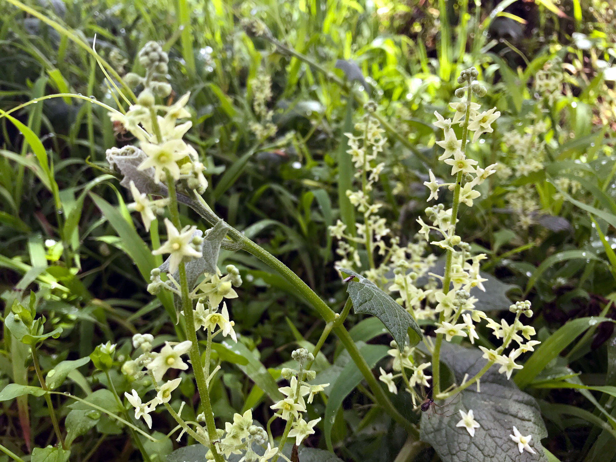
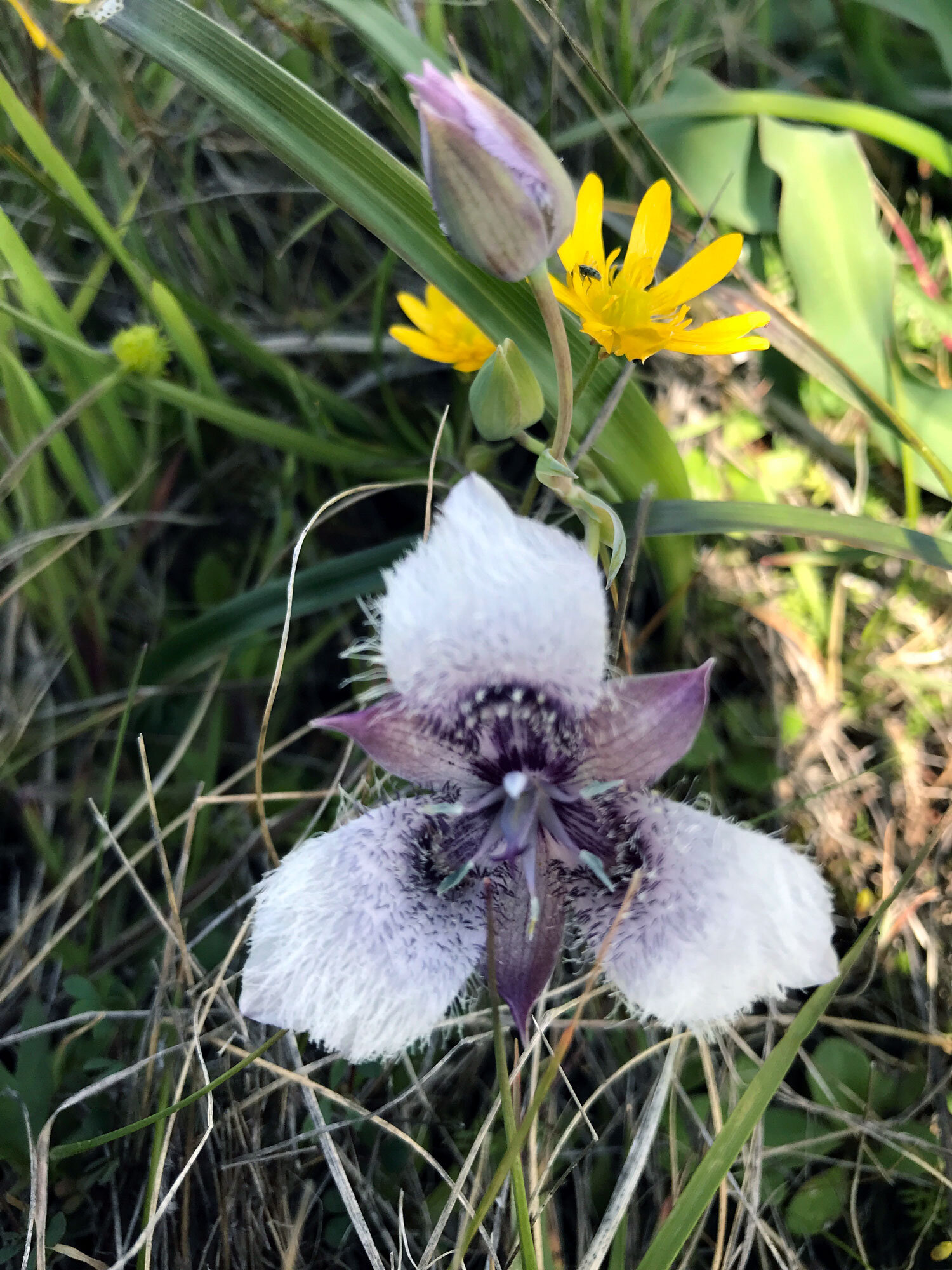
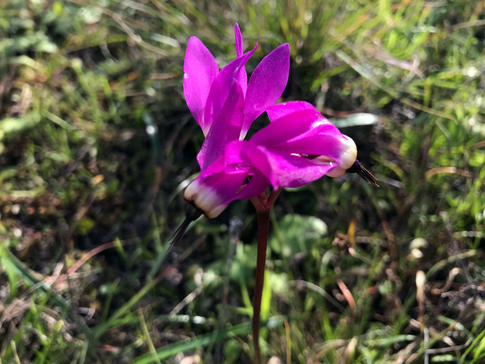
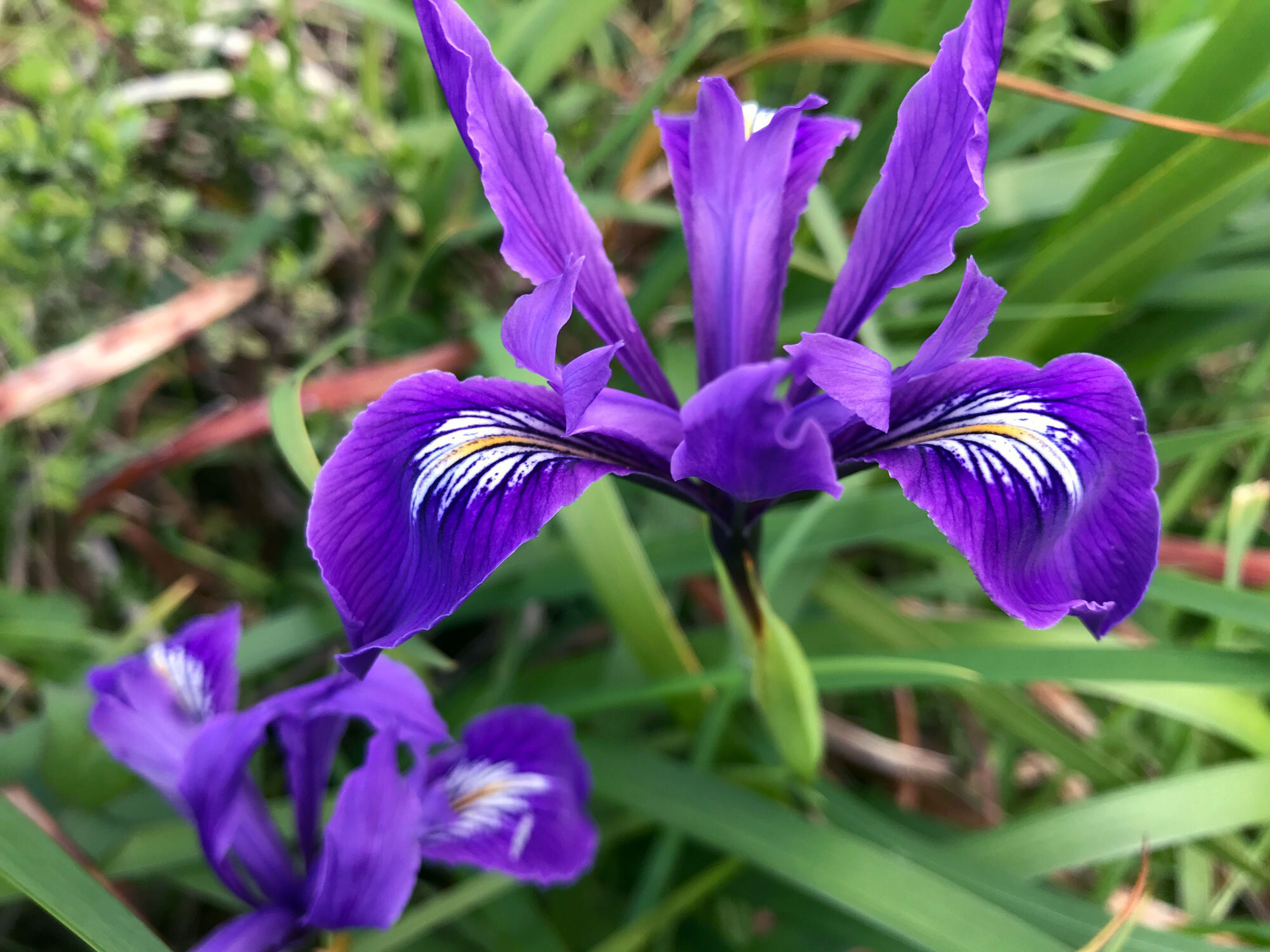
Spring wildflowers
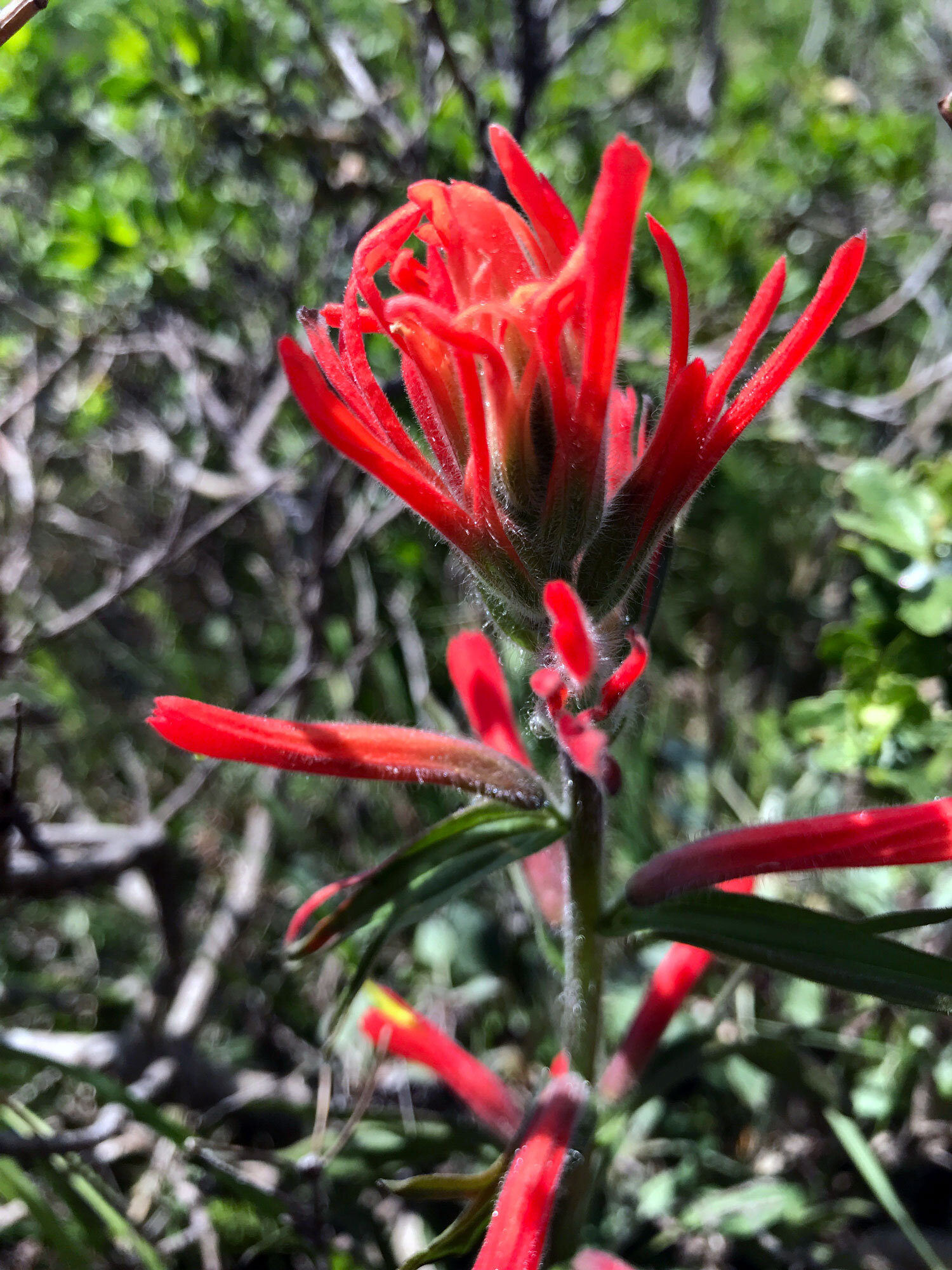
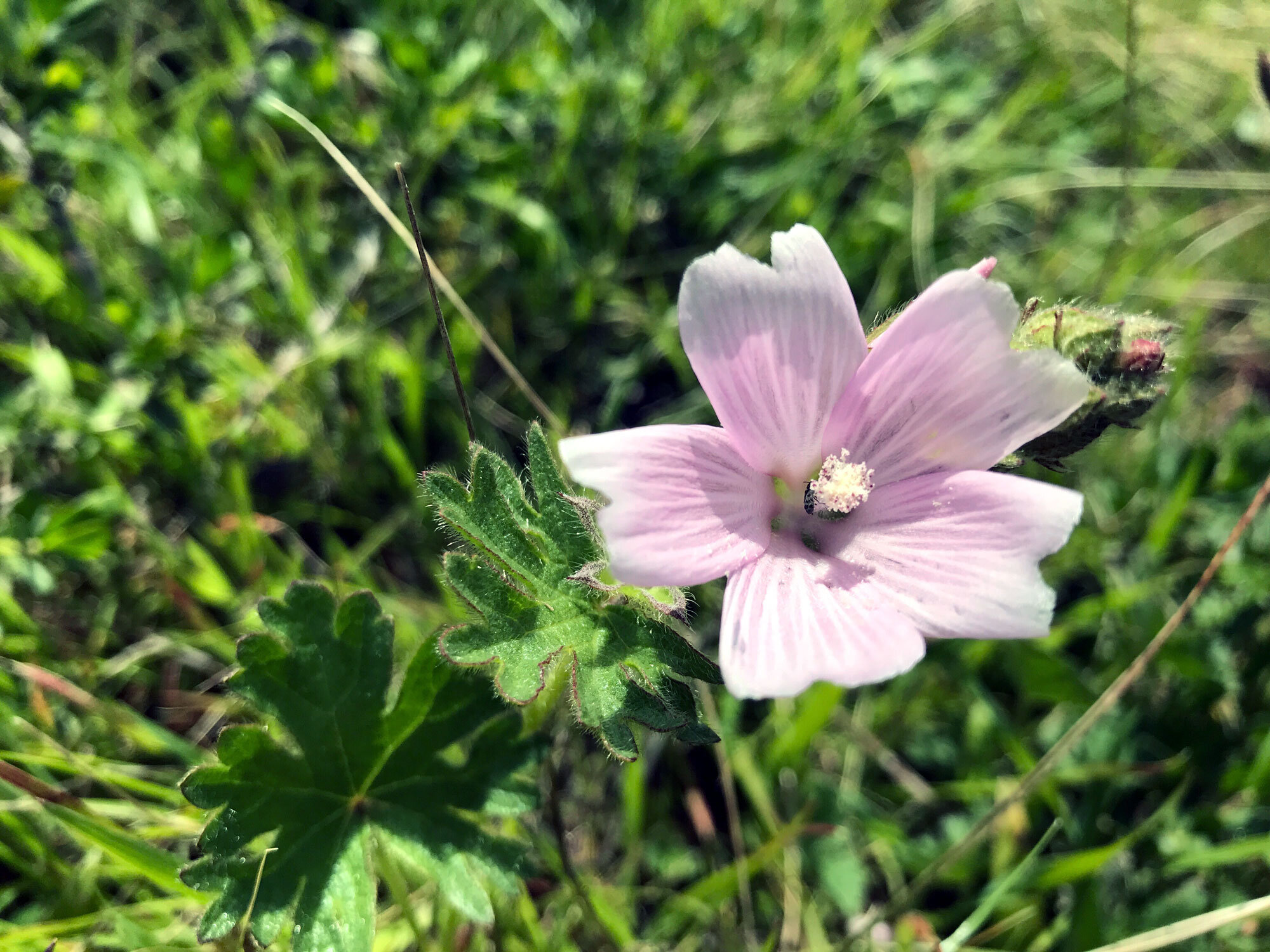
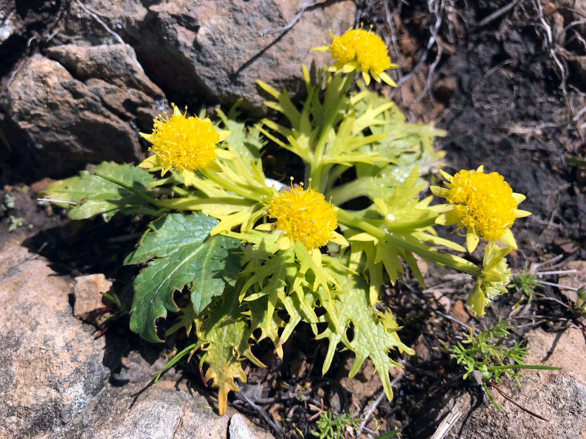
These spring wildflowers were observed in late March and mid-April on the sunny slopes of the trail on the ocean side. It’s the section of trail that begins as you exit the forest coming from the Sky Trail and ends near Coast Camp. This is my favorite part of the trail — the views are spectacular. There are no trees to offer shade and it’s often very windy so come prepared. Bring binoculars to look for whales.
Volunteer Opportunity: PRNSA Field Institute
The Point Reyes National Seashore Association needs assistants for their Field Institute classes. You will spend a day training with PRNSA staff, then a couple of times a year you'll select the classes you'd like to help with. Shortly afterwards, you'll receive a confirmation of which ones you've been assigned. As a facilitator, you get to take the class for free. Normally, two facilitators help with every class. Duties include signing in class participants, making coffee (for indoor classes), talking briefly about PRNSA, and generally helping out as needed. I've been volunteering since 2017. It's a great experience to work with other facilitators and get to know the amazing field institute instructors.


