
McCurdy-Olema Valley Big Loop
Trail length: 8.6 miles, loop, strenuous
Time: 4-5 hours
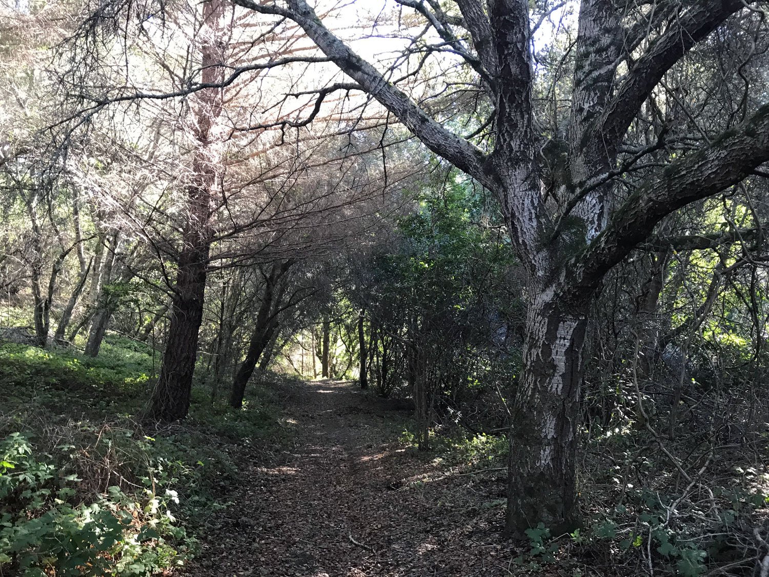
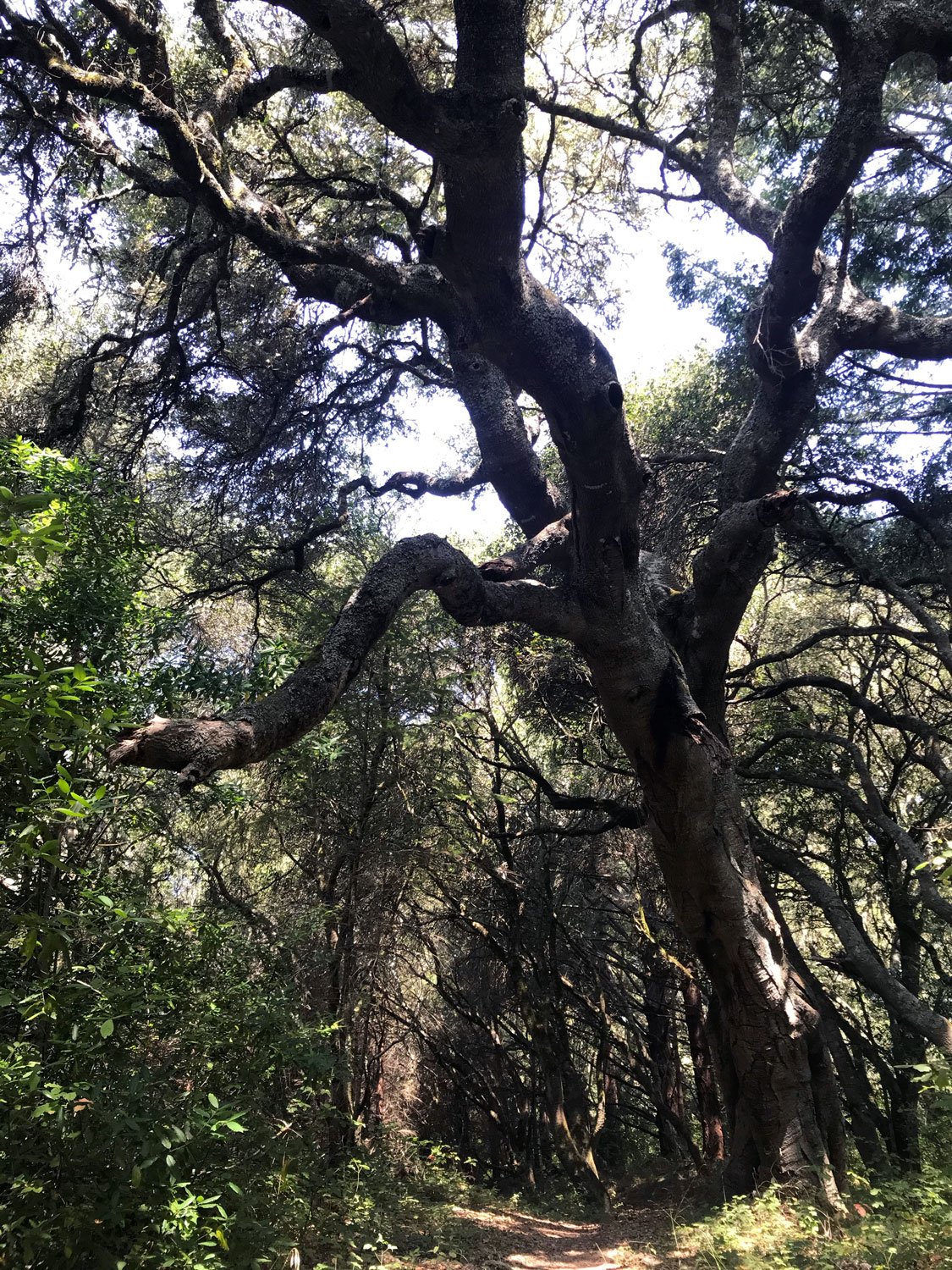
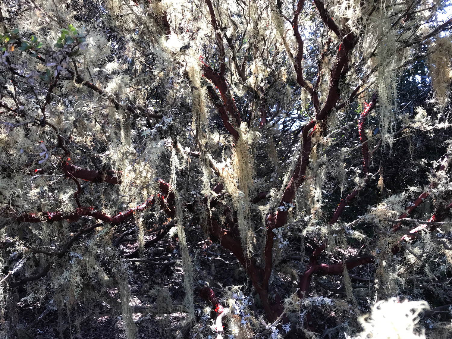
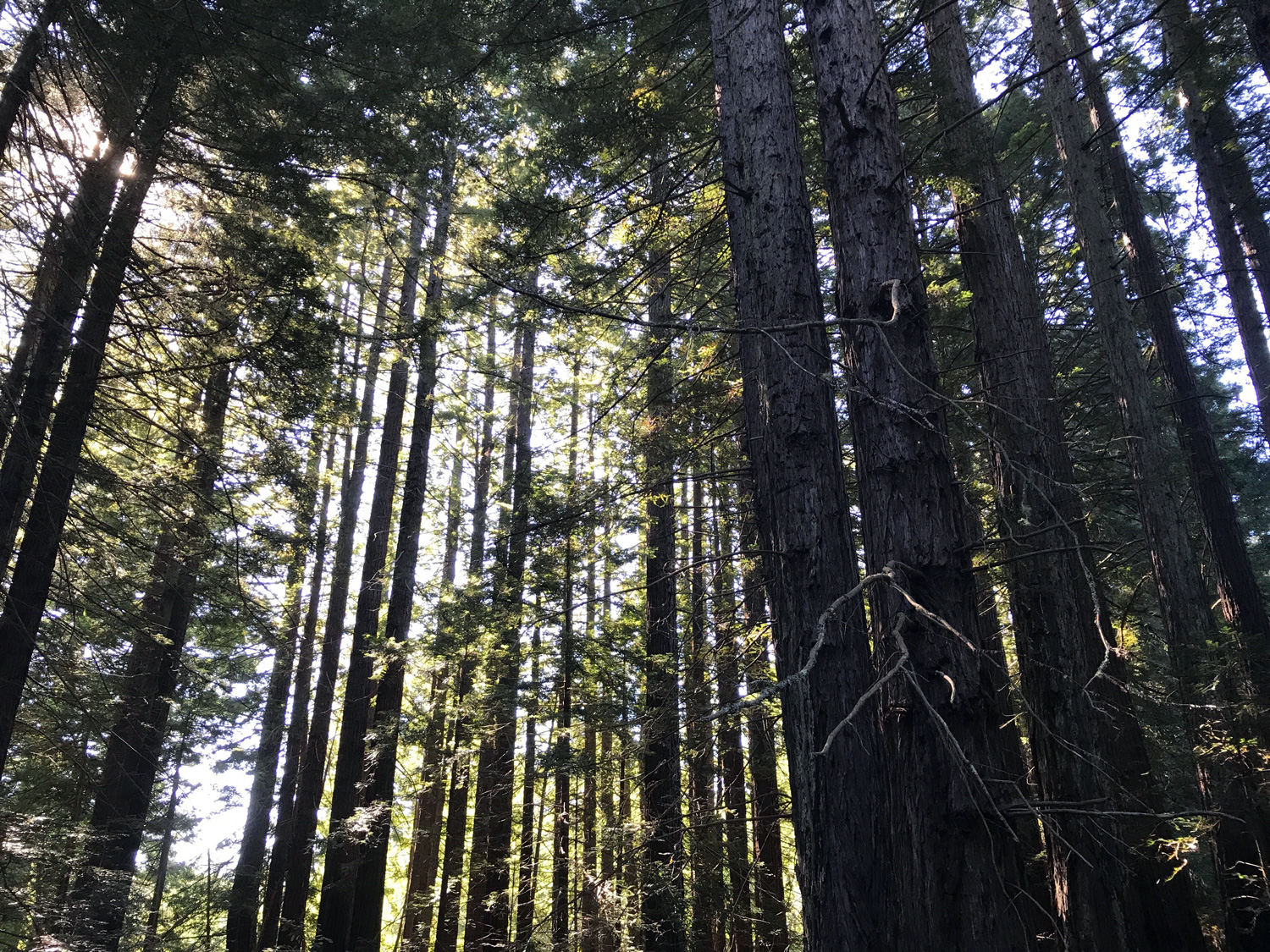
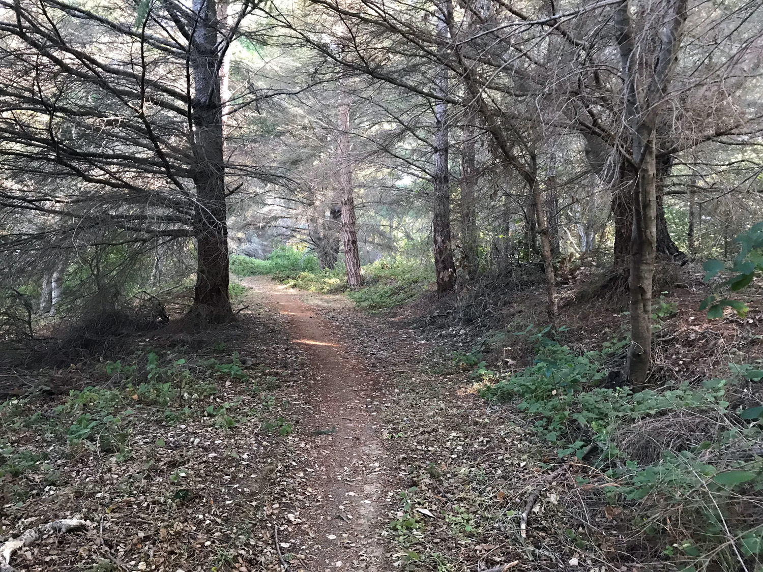
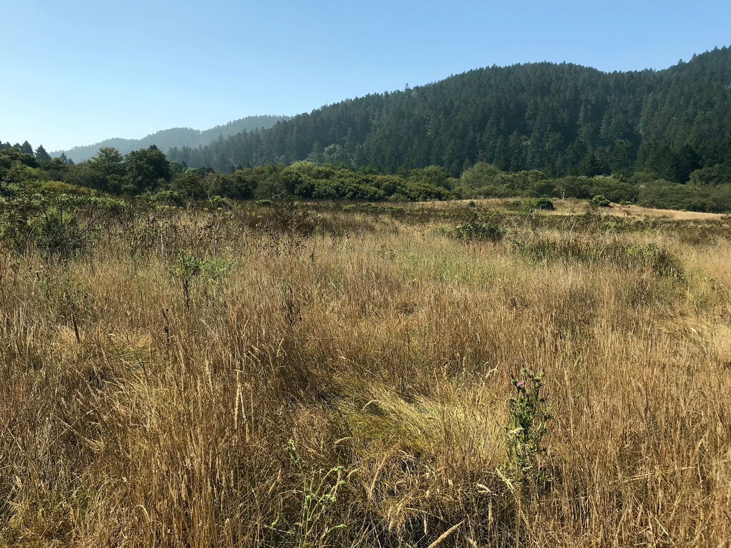
Terrain: oak, fir, bay forests, madrone, manzanita, redwood
Restroom? No
Parking: Park at the Olema Valley Trailhead. There’s a small pullout area that fits 3 or 4 cars.
Kid friendly? No, it’s steep and a long, strenuous hike
Dates visited:
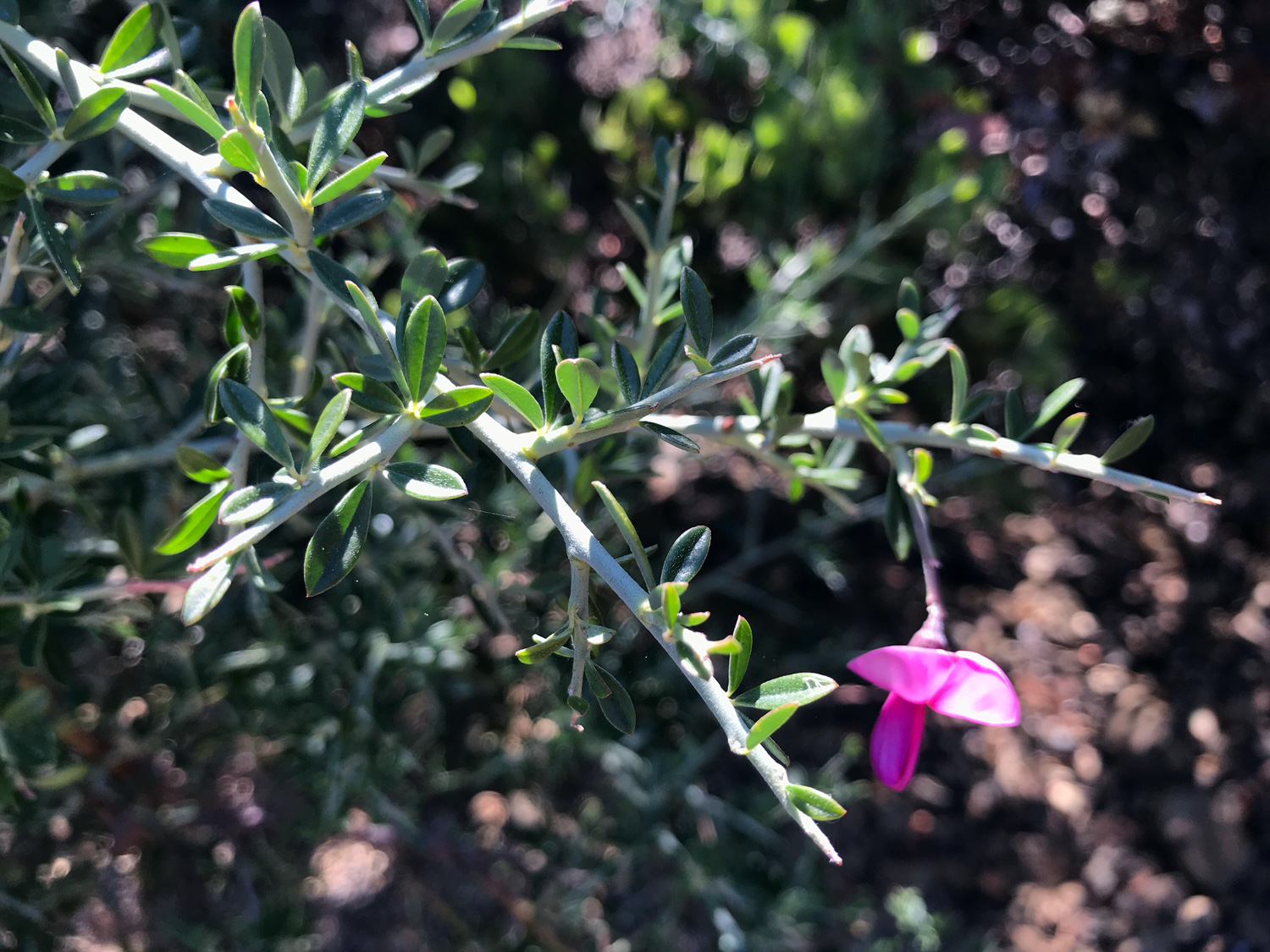
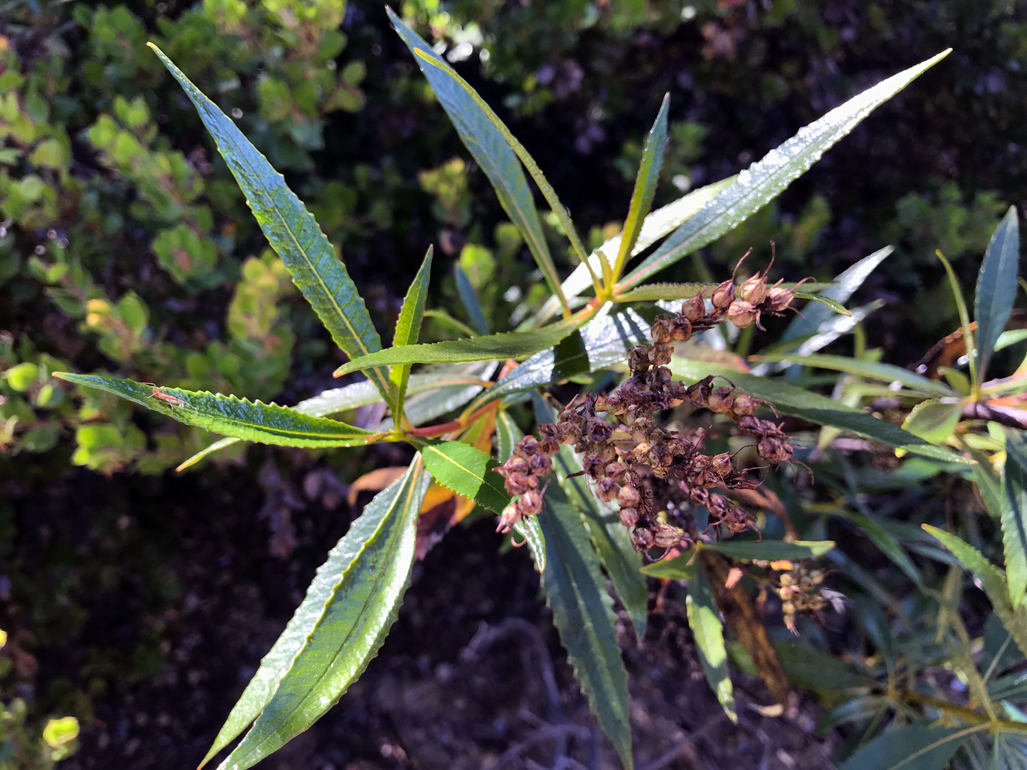
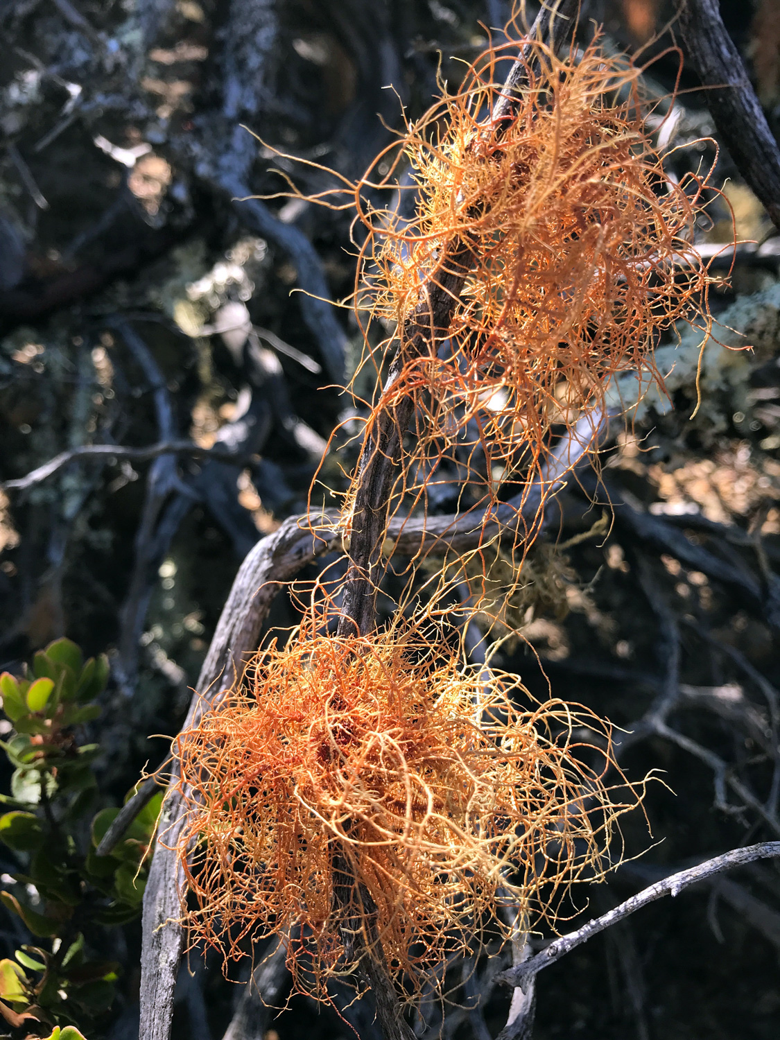
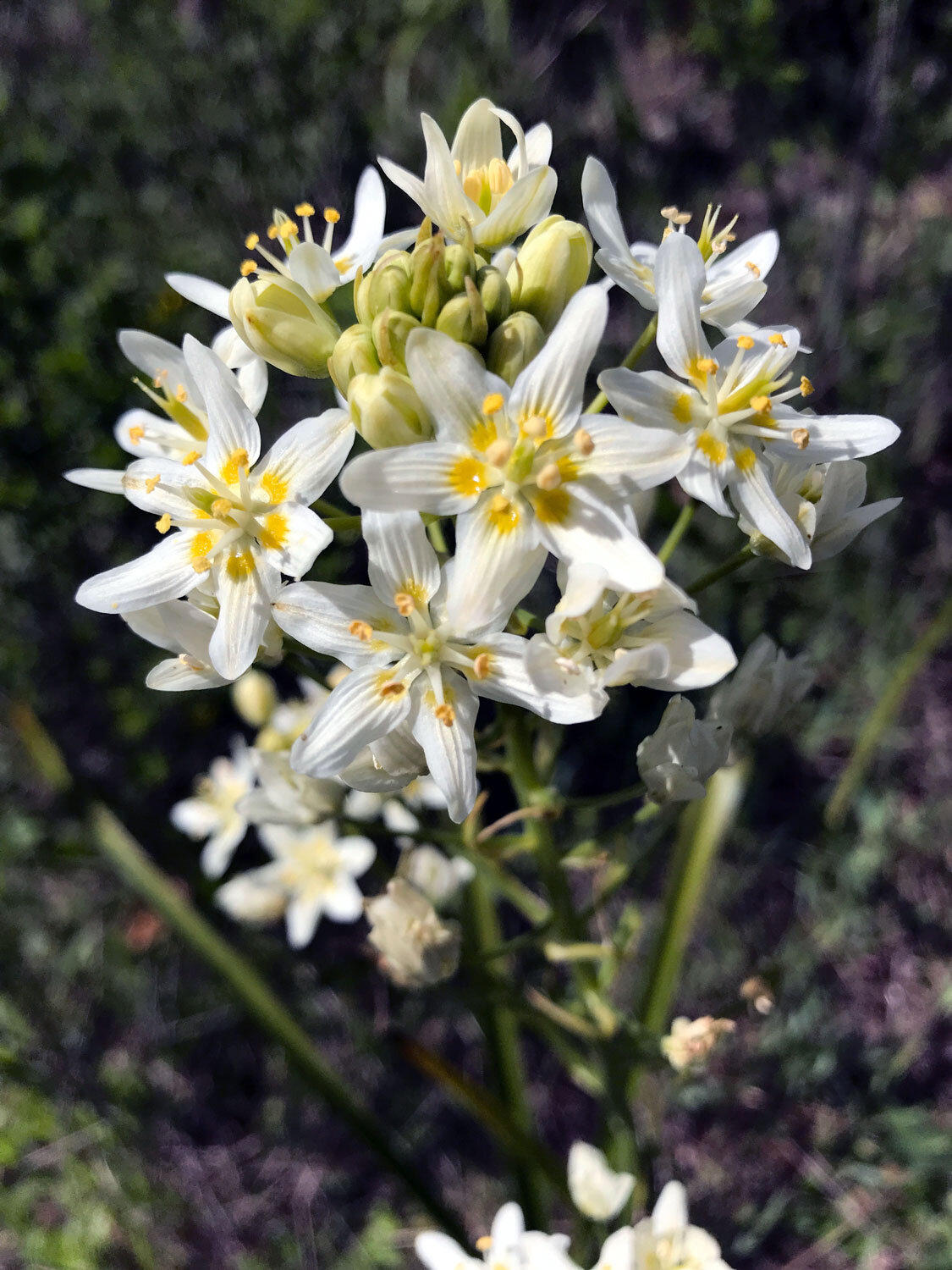
Favorite plants on this trail:
Favorite spots:
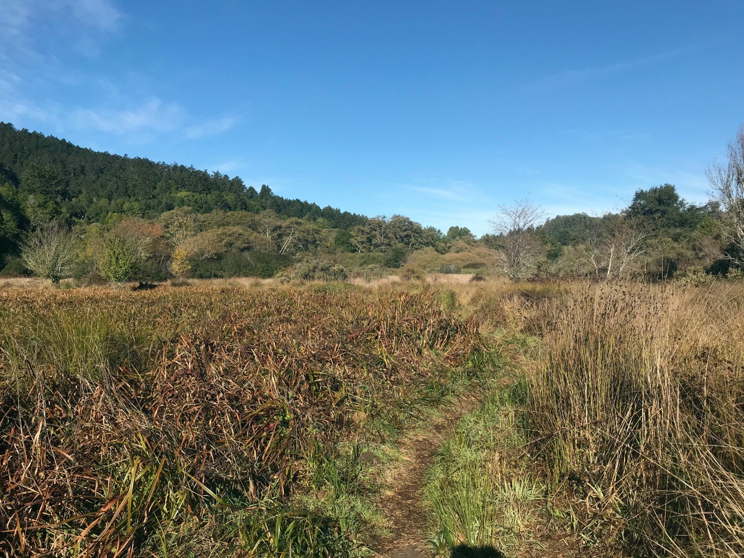
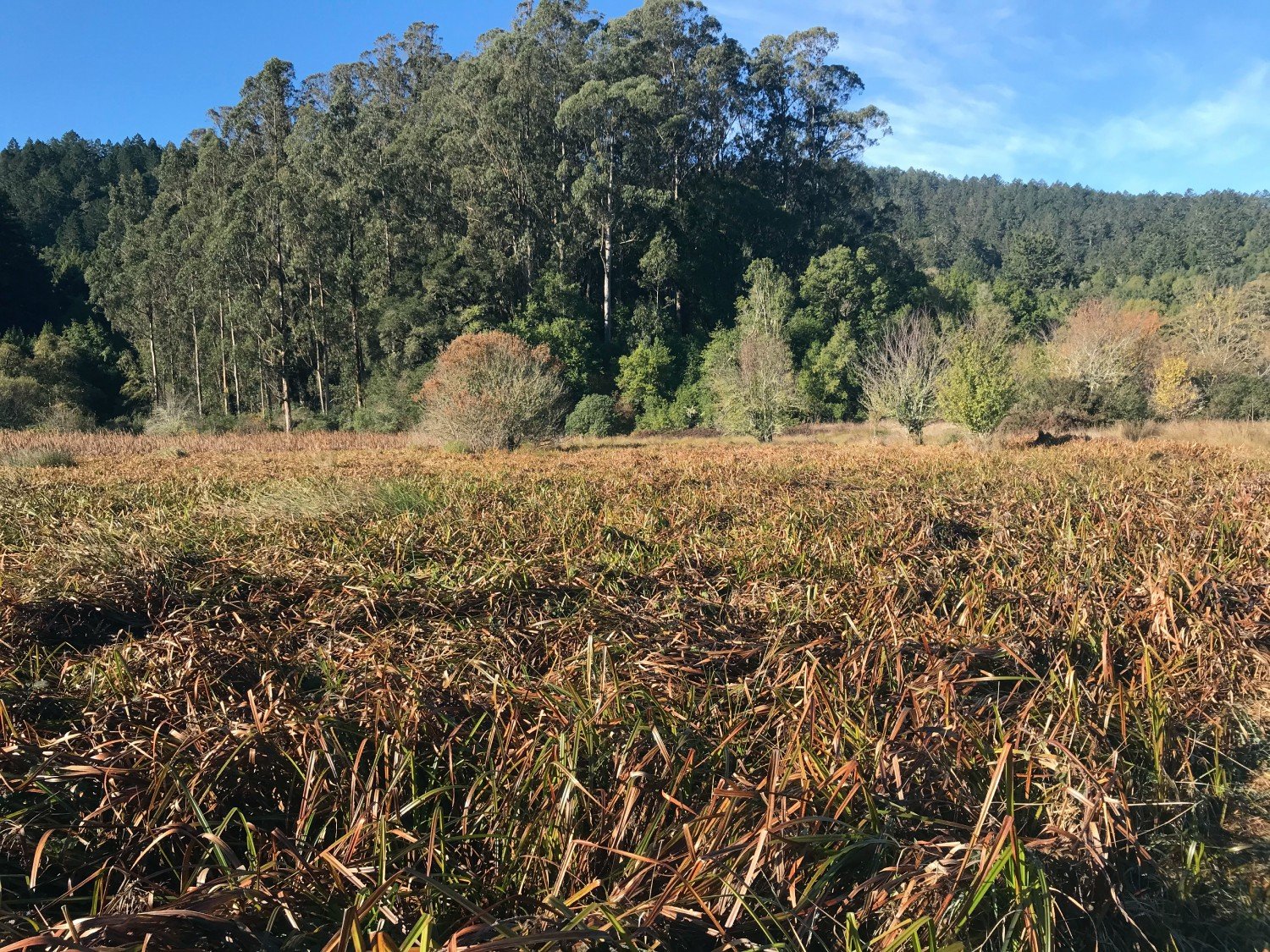
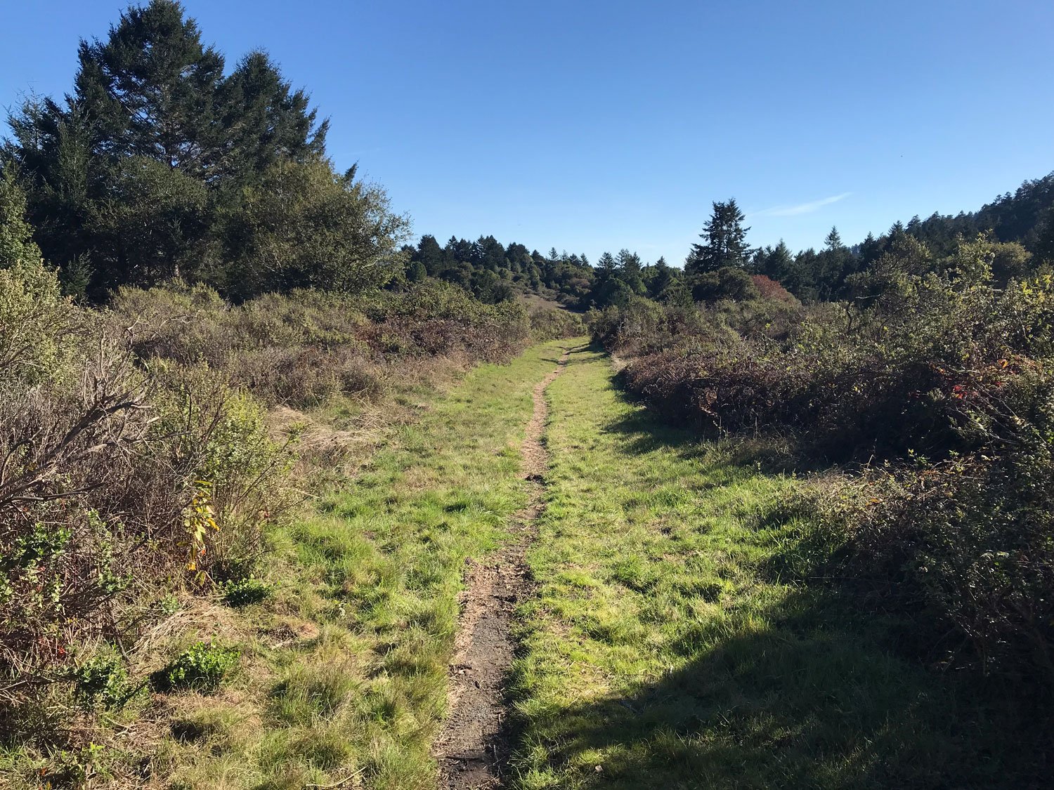
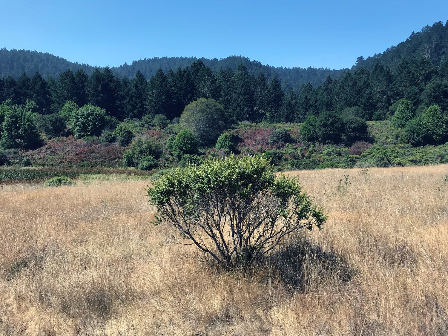
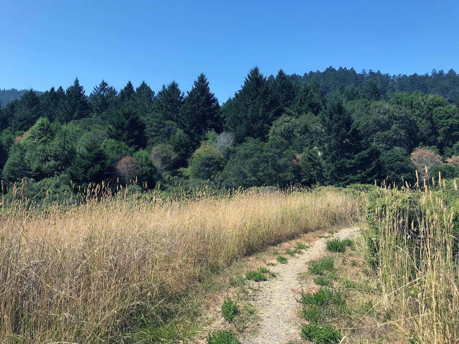
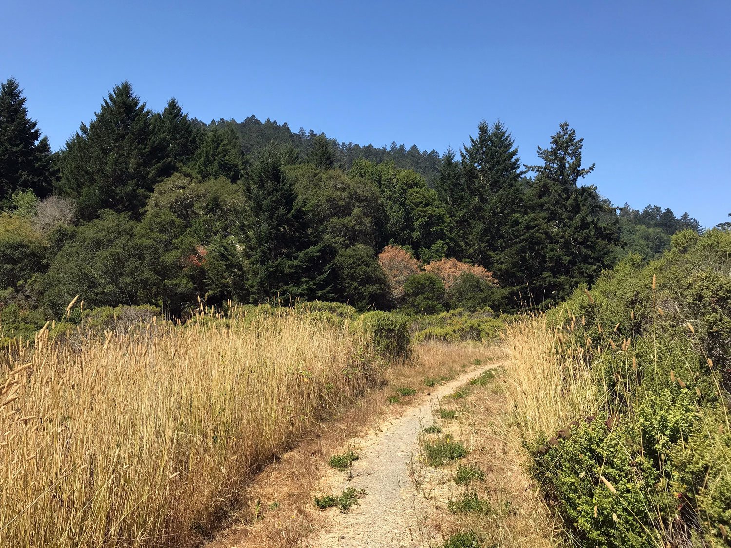
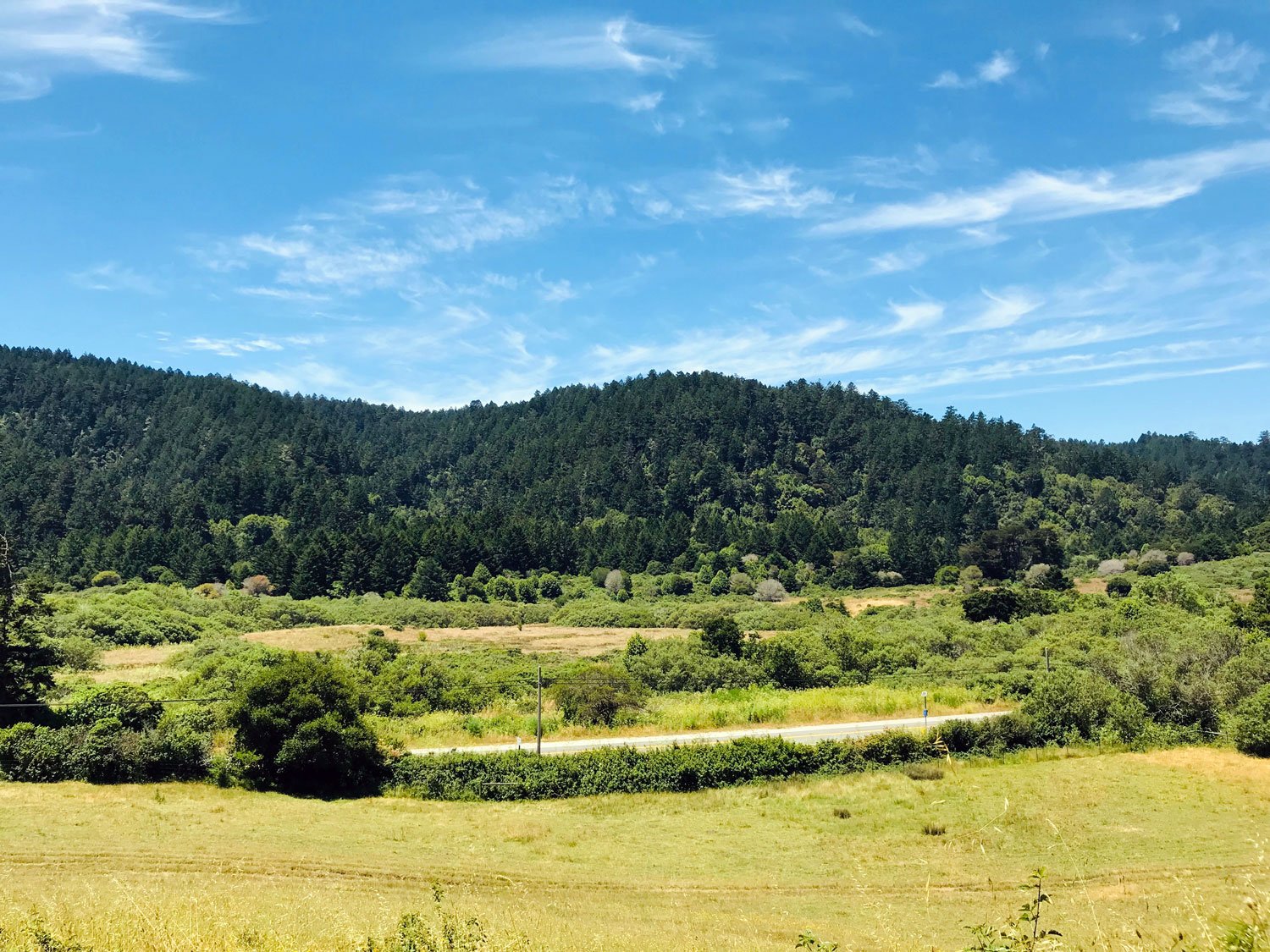
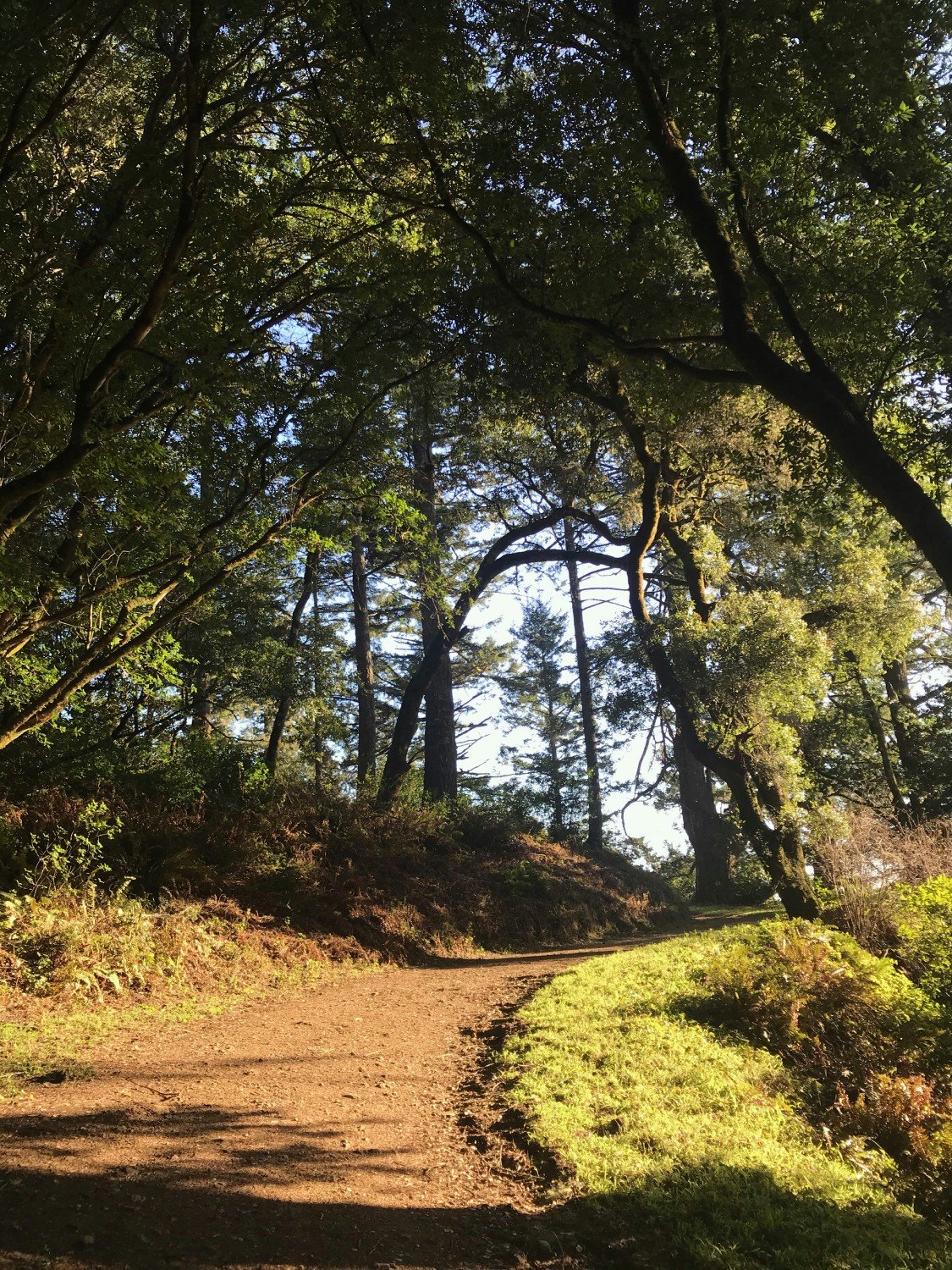
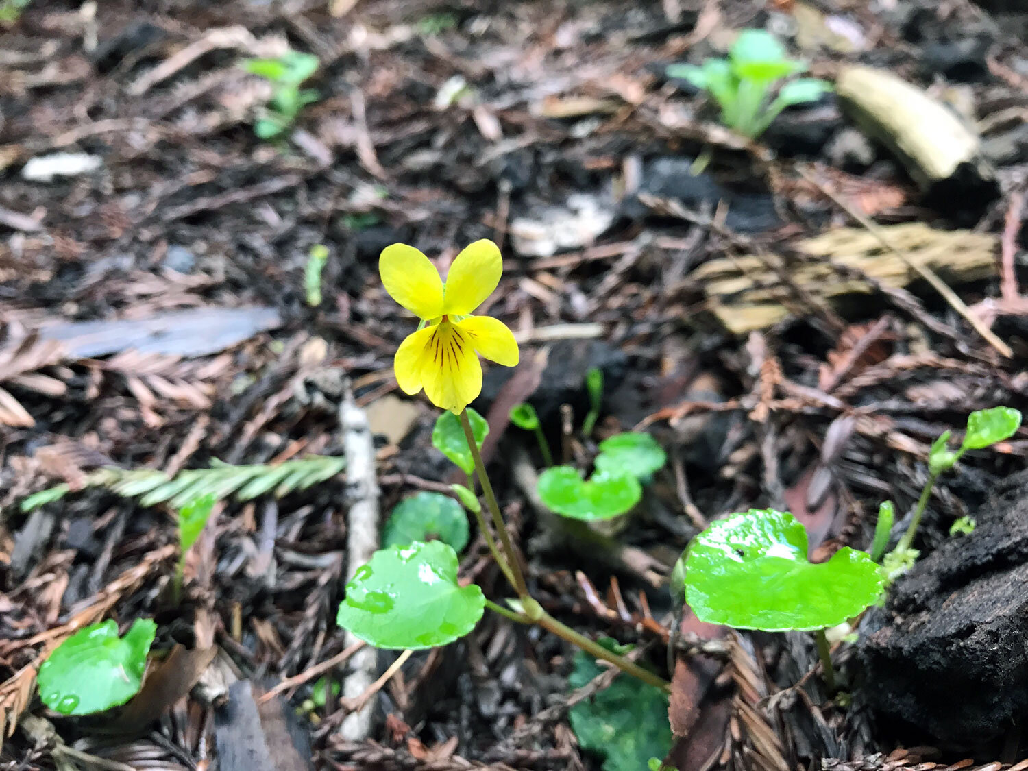
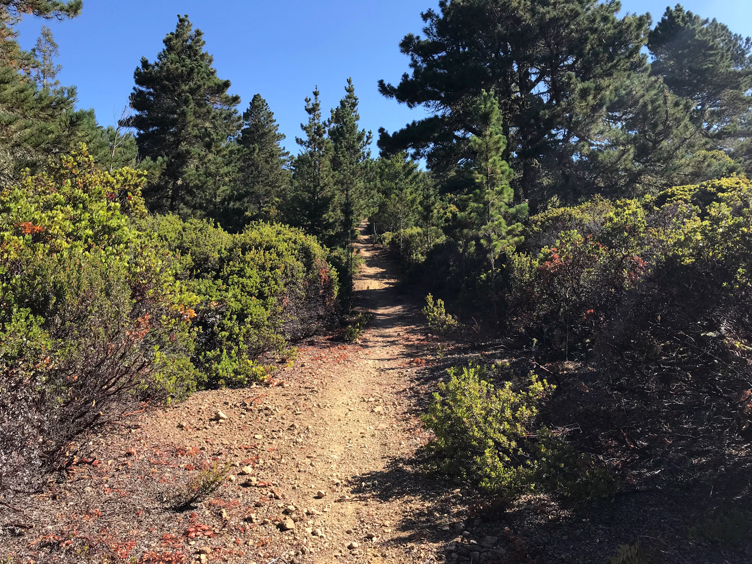
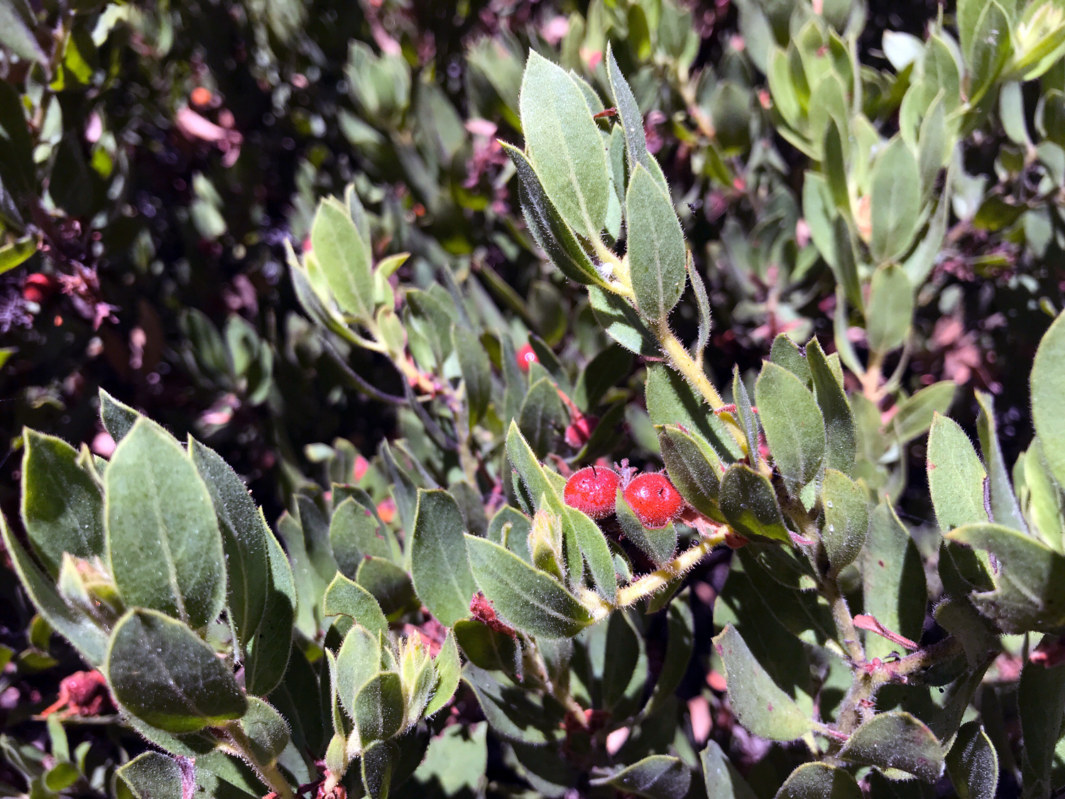
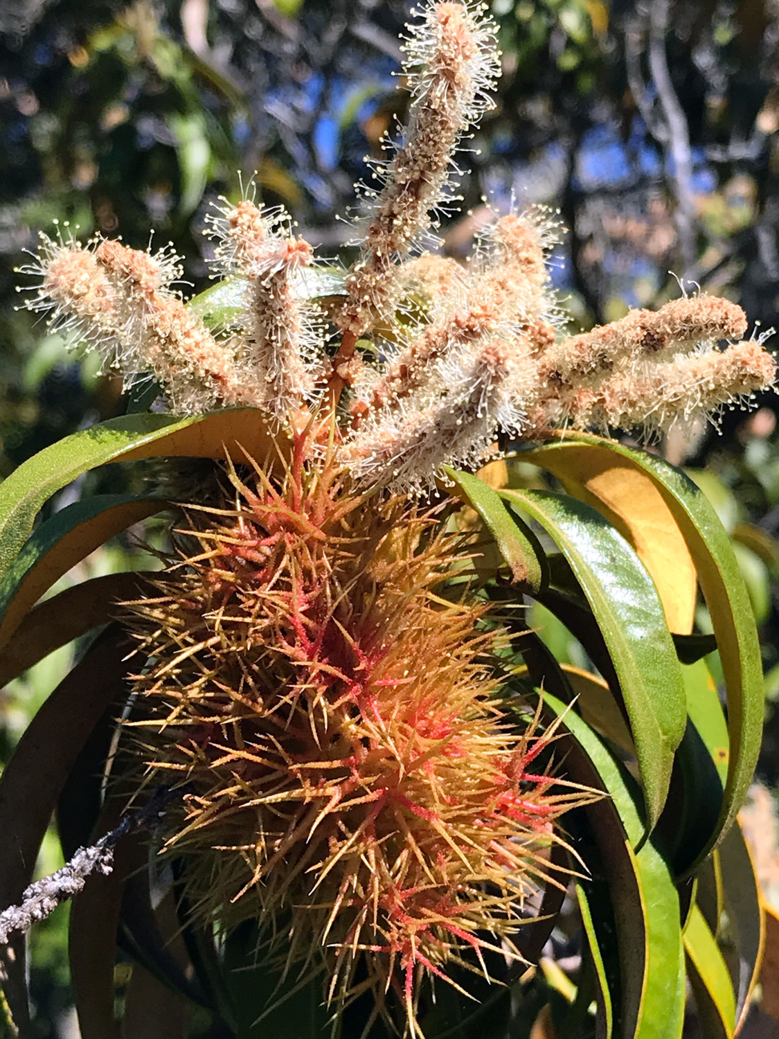
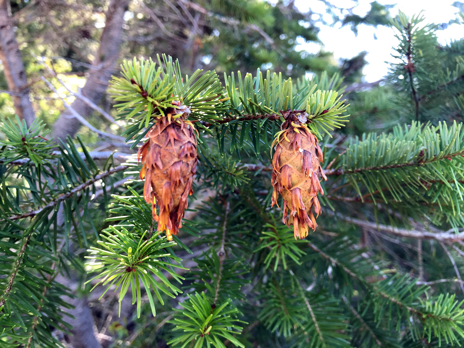
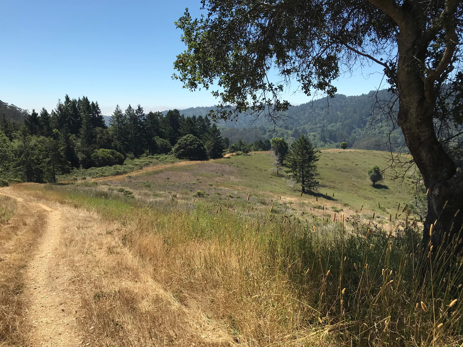
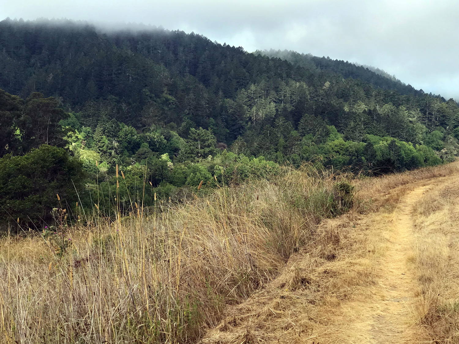
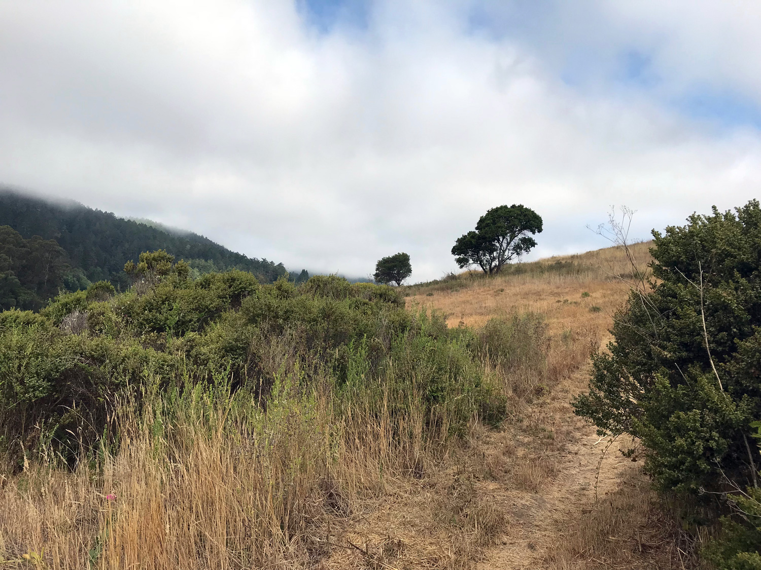
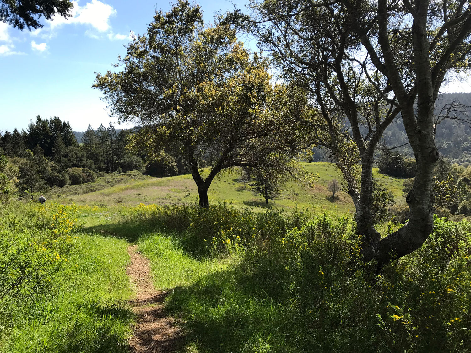
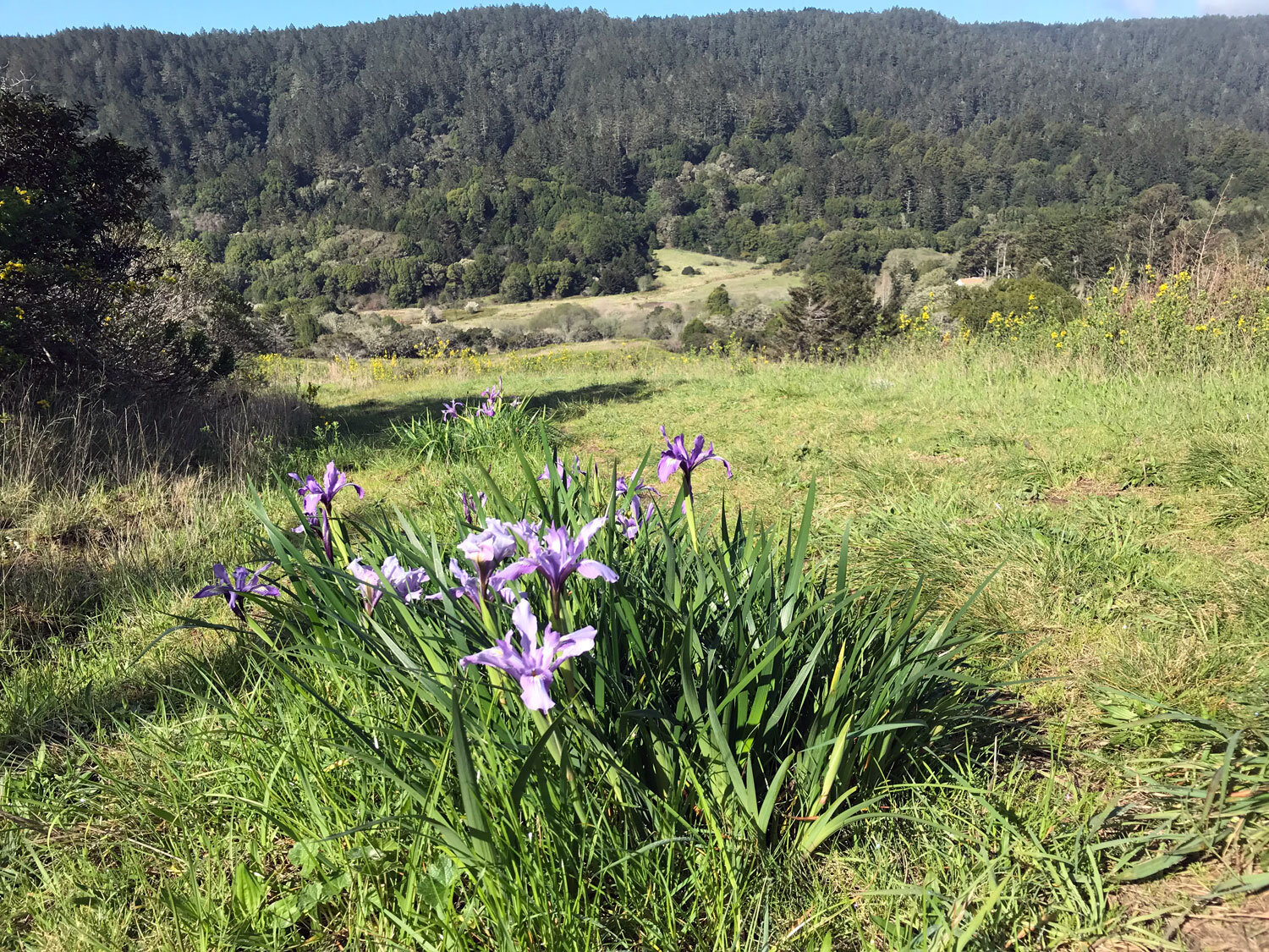
McCurdy is a journey to many different lands traversing forest, chaparral, and meadow. In this big loop, you’ll start on a mostly level hike through the Olema Valley then cross the road and ascend Bolinas Ridge to close the loop with a downhill hike on the McCurdy Trail. Watch for the tiny striped blossoms of California fetid adderstongue lily along the Bolinas Ridge Trail. The views are expansive from much of the McCurdy trail, overlooking forested Inverness Ridge toward the ocean. Enjoy flowering manzanita, huckleberry, and early spring wildflowers.
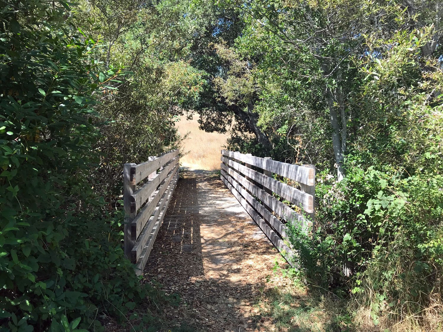
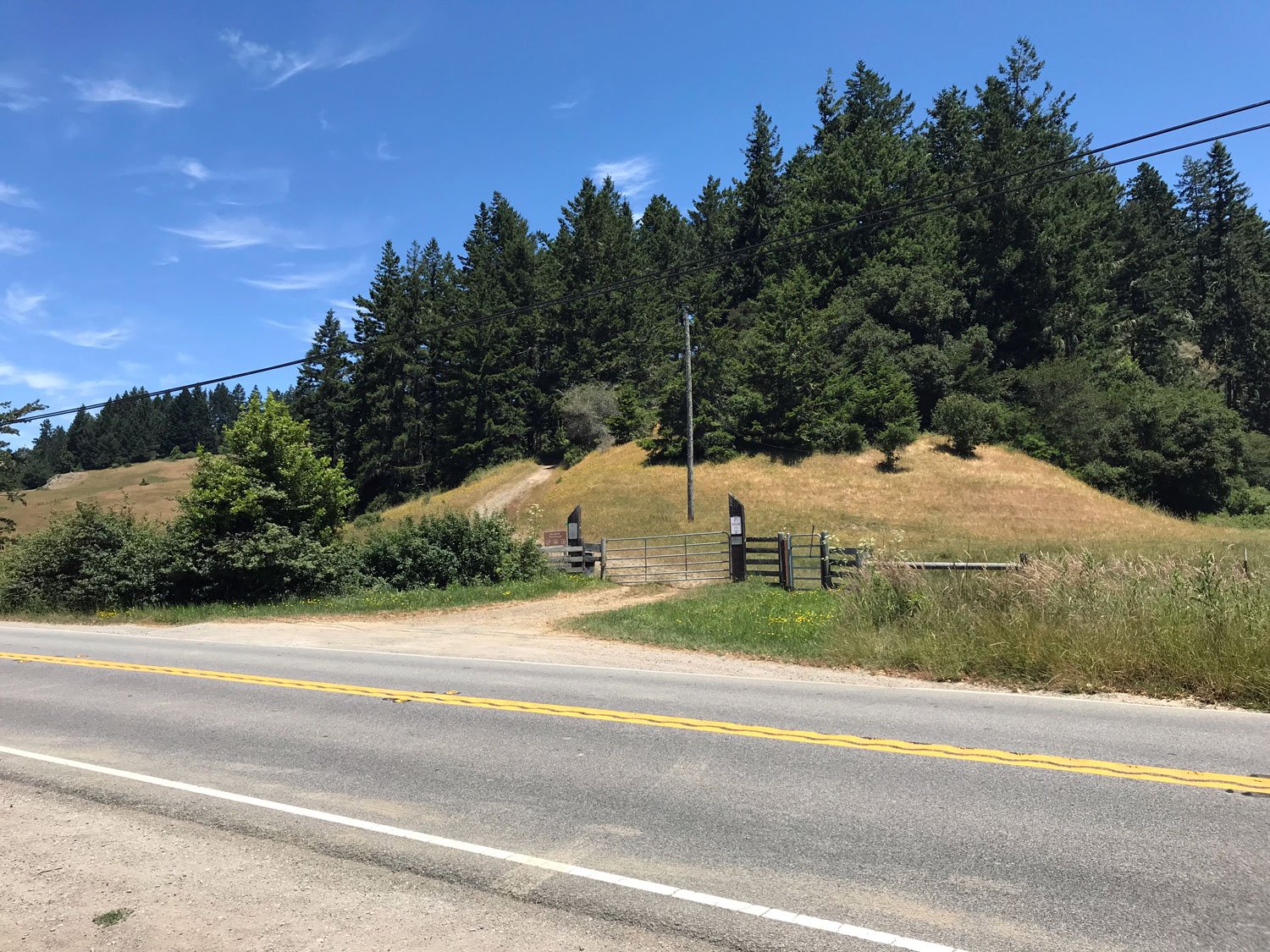
Park at the Olema Valley Trailhead (across the road from the McCurdy Trail).
It’s easy to miss the McCurdy and Olema Valley trailheads when driving along Shoreline Hwy 1. If you’re coming from Bolinas, they are not far after Horsehill Rd near Dogtown - Olema Valley Trailhead is on the left and the McCurdy is on the right. Drive slowly and pay attention. I’ve found some of the map applications give you the wrong directions if you search on McCurdy Trail.
Hike the Olema Valley Trail to the Randall Spur (2.8 miles).
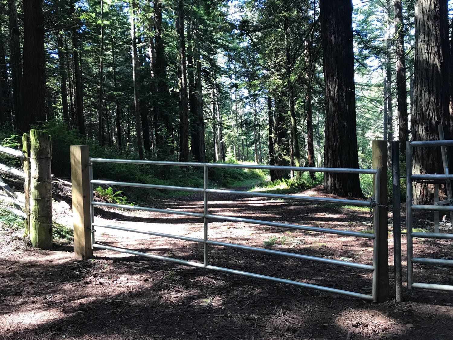
Turn right and follow the Randall Spur to Shoreline Hwy 1 (0.5 miles); cross the road to the Randall Trail.
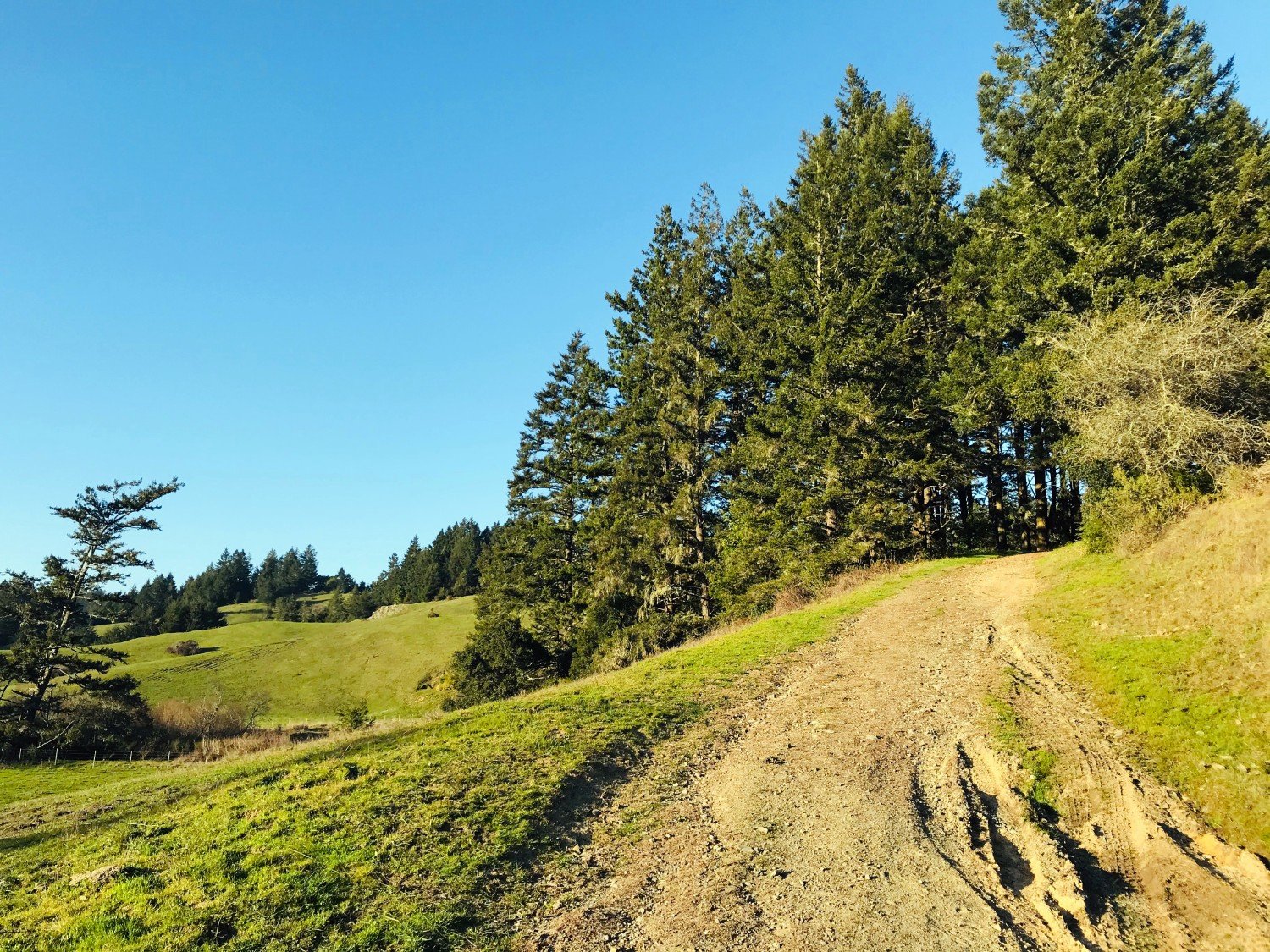
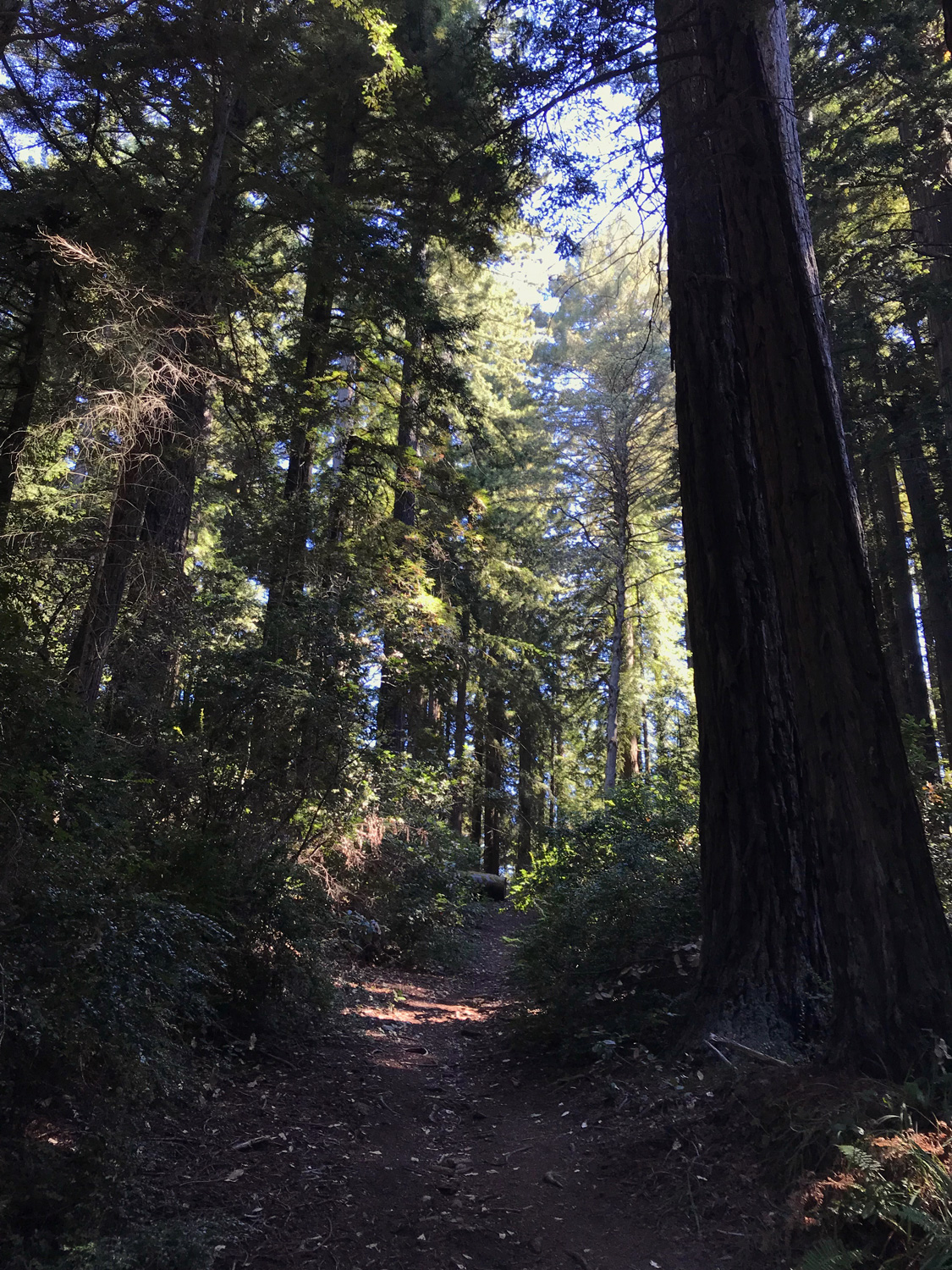
Ascend the Randall Trail to the Bolinas Ridge Trail (1.7 miles)
Go right on the Bolinas Ridge Trail to the McCurdy Trail. (1.6 miles)
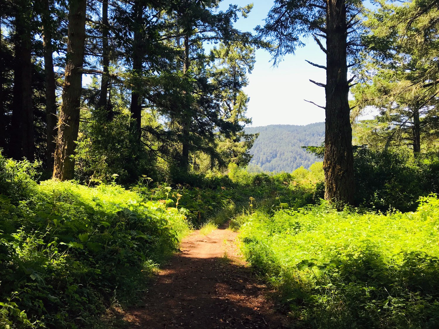
Descend the McCurdy Trail and cross the road back to the Olema Valley Trailhead parking area (2.0 miles).
If your knees object to downhill climbs, reverse the order and start your hike with McCurdy uphill. While biking is allowed, the McCurdy Trail is a beast – it’s steep with many eroded and rocky areas.
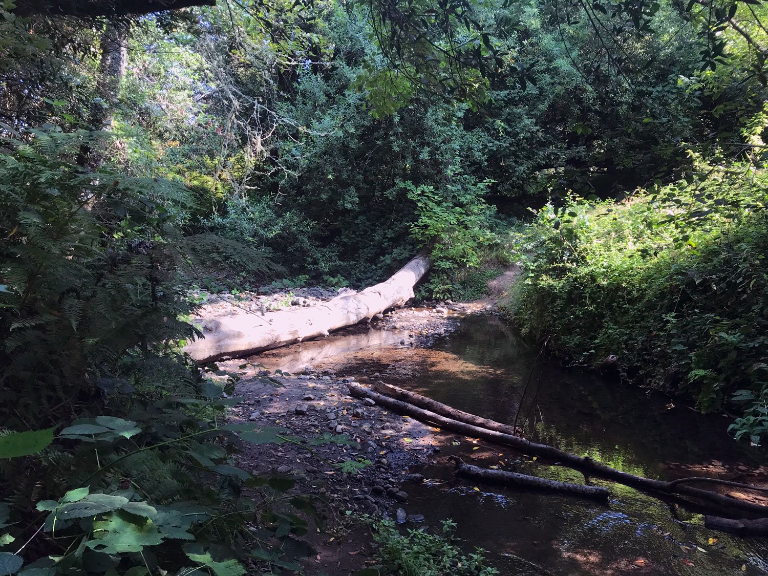
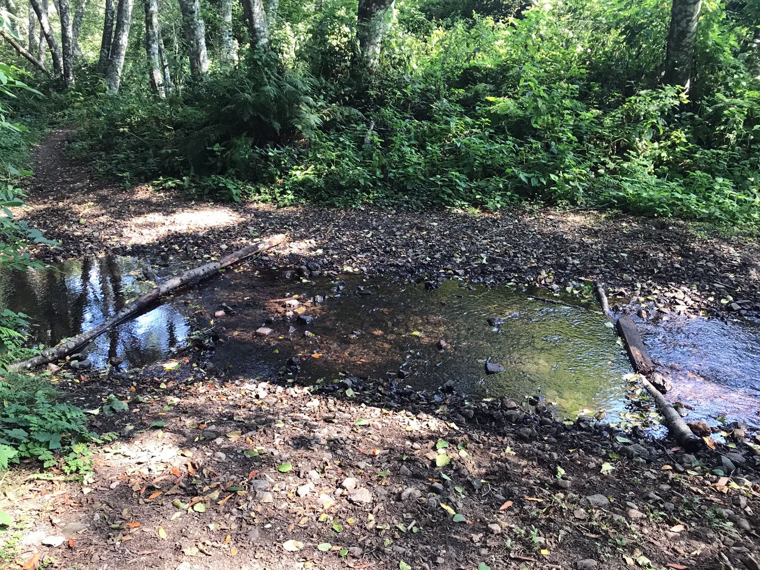
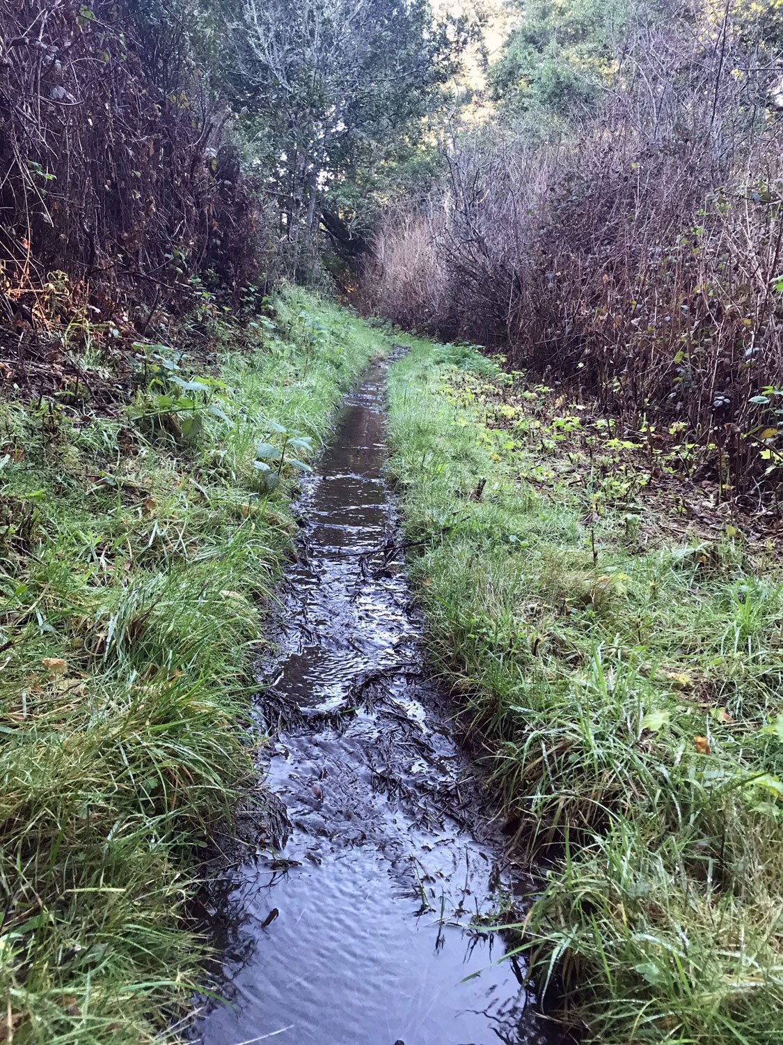
Weather Note: If the creek along the Olema Valley Trail is not possible to cross without getting your feet soaked, turn back and just hike the McCurdy Trail out and back.
Volunteer Opportunity: PRNSA Field Institute

The Point Reyes National Seashore Association needs assistants for their Field Institute classes. You will spend a day training with PRNSA staff, then a couple of times a year you'll select the classes you'd like to help with. Shortly afterwards, you'll receive a confirmation of which ones you've been assigned. As a facilitator, you get to take the class for free. Normally, two facilitators help with every class. Duties include signing in class participants, making coffee (for indoor classes), talking briefly about PRNSA, and generally helping out as needed. I've been volunteering for about a year. It's a great experience to work with other facilitators and get to know the amazing field institute instructors.